James Spann: Warmer through tomorrow, strong storms Saturday in Alabama
James Spann: Spring brings quiet week, possible weekend storms for Alabama from Alabama NewsCenter on Vimeo.
HELLO, SPRING: The vernal equinox was at 5:29 this morning; today we have approximately 12 hours of daylight and 12 hours of darkness, as the sun is directly over the equator. “Sunrise” is defined as the moment the upper edge of the sun’s disk becomes visible above the horizon – not when the center of the sun is visible. In the same sense, “sunset” refers to the moment the sun’s upper edge, not the center, disappears below the horizon. The time it takes for the sun to fully rise and set, which is several minutes, is added to the day and subtracted from the night, and therefore the equinox “day” lasts a little longer than 12 hours.
Today will be partly to mostly sunny with a high between 75 and 79 degrees for most communities. Tomorrow will be even warmer as we surge into the 80s. A cold front will push into the state tomorrow night, and it could bring a few strong storms to the far northern counties, but most places will stay dry. The Storm Prediction Center has a “marginal” risk of severe storms tomorrow just north of Alabama, over most of Tennessee.
WEDNESDAY THROUGH FRIDAY: We will mention the chance of a few isolated showers Wednesday and Thursday with a weak surface front nearly stationary over Central Alabama, but most of these two days will be dry, with highs back in the 60s for most places. Friday will be dry and mild, with a partly sunny sky and a high close to 70 degrees.
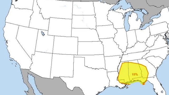
ACTIVE DAY SATURDAY: The SPC has already defined a severe weather risk for much of Alabama on its outlook for Saturday.

A surface low will be northwest of the state, supported by a fairly deep upper trough with strong wind fields. This, combined with a moist, unstable airmass, will set the stage for the potential for strong to severe thunderstorms across Alabama Saturday. Way too early to be specific with timing, or the greatest threats, but it certainly looks like an active weather day with showers and strong storms likely and potential for heavy rain. The high Saturday afternoon will be in the low 70s.
An upper low will pass over Alabama Sunday; the day looks mostly cloudy with a chance of lingering showers, but the severe weather threat will be over by then. Sunday’s high will be in the 60s.
NEXT WEEK: Looks like we will have another chance of strong storms toward the middle of next week; we are getting into the core of the spring tornado season in Alabama.

STORM SPOTTER TRAINING: We will be on the road through early April offering free storm spotter classes. We need more trained spotters in Alabama. By attending, you can make the severe weather warning process better. No need to register; just come with a curious mind. And there is no age limit; kids who love weather will enjoy it. You will never look at a storm the same again. The next class will be tomorrow evening in Lineville at 6:30 at the Clay County Farmers Market.
WEATHER BRAINS: You can listen to our weekly 90-minute netcast anytime on the web, or on iTunes. This is the show all about weather featuring many familiar voices, including meteorologists at ABC 33/40. We will produce this week’s show tonight at 8:30. You can watch it live here.
CONNECT: You can find me on all of the major social networks:
Facebook
Twitter
Google Plus
Instagram
Pinterest
Snapchat: spannwx
For more weather news and information, visit AlabamaWX.


