James Spann: Alabama stays mostly dry through Sunday
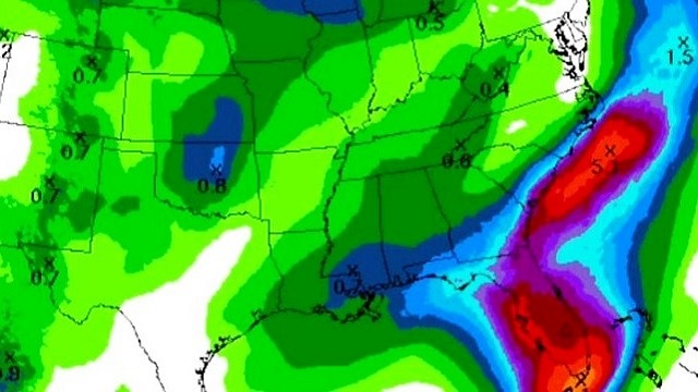
DRIER PATTERN: As advertised, much drier air covers Alabama this afternoon, with dew points down into the 50s over the northern half of the state at midafternoon. The sky is mostly sunny, and you can just about count the number of showers on one hand. Those showers are lined up from near Wetumpka to Pineapple; they are small, isolated and won’t last long. Temperatures are close to 80 degrees; the average high for June 7 is 86 (for Birmingham).
Tonight will be fair and pleasantly cool. Most communities will drop into the upper 50s early tomorrow morning.
TOMORROW: Mostly dry weather continues, although we will mention a chance of isolated showers over east and northeast Alabama as a lobe rotates around the back side of the upper trough over the eastern third of the nation. The sky will be mostly sunny with a high between 82 and 85 degrees.
THE WEEKEND: Still dry. Mostly sunny, warm days and fair, pleasant nights, with highs in the 86- to 90-degree range Saturday and Sunday. Moisture levels will creep up Sunday, and we might mention a small risk of a shower by afternoon, but the chance of any one spot getting wet is so low we won’t mention it for now.
NEXT WEEK: Moist air returns, and it looks like a very typical June week — partly sunny days with the risk of scattered, mostly afternoon and evening showers and thunderstorms each day; highs in the 80s.

TROPICS: The Atlantic basin remains quiet, and tropical storm formation is not expected through the weekend.

BEACH FORECAST: Click here to see the AlabamaWx Beach Forecast Center page.
WEATHER BRAINS: You can listen to our weekly 90-minute netcast anytime on the web, or on iTunes. This is the show all about weather featuring many familiar voices, including meteorologists at ABC 33/40.
CONNECT: You can find me on all of the major social networks:
Facebook
Twitter
Google Plus
Instagram
Pinterest
Snapchat: spannwx
For more weather news and information, visit AlabamaWx.


