James Spann: Drier days ahead for Alabama
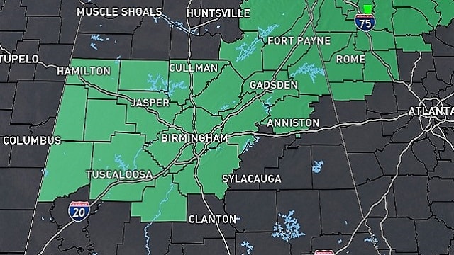
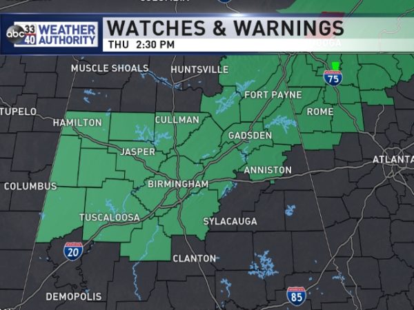
RADAR CHECK: A number of showers and thunderstorms continue across Alabama this afternoon; stronger storms are producing heavy rain and lighting as they move northeast. A flash flood watch remains in effect for parts of north and central Alabama through the evening.
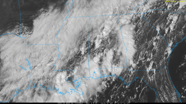
Rain will end across the state late tonight.
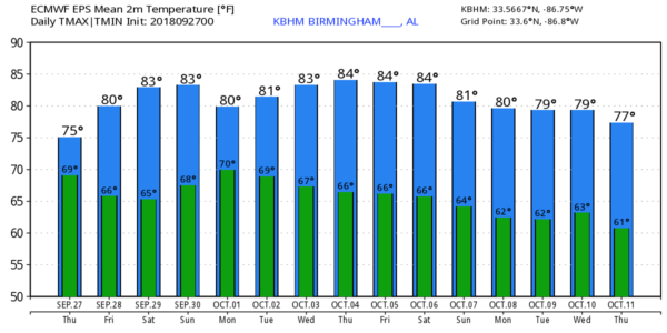
FRIDAY AND THE WEEKEND: A surface front will drift down toward U.S. 80 on Friday, and north Alabama will be in much drier air. A few scattered storms are still possible over the southern counties of the state, but to the north the day should be partly to mostly sunny with a high around 80 degrees. Humidity levels will be a bit lower as well.
For the weekend, the weather looks generally dry with a good deal of sunshine both days, along with highs in the 80s. Early mornings will be pleasant with low temperatures well down in the 60s; cooler pockets have a good chance of visiting the mid to upper 50s. The latest Global Forecast System run does show a slug of moisture coming up over the far eastern side of the state on Sunday, so a few isolated showers are possible there.
FOOTBALL WEATHER: For the high school games Friday night, the sky will be mostly fair with temperatures falling through the 70s.
Alabama will host Louisiana-Lafayette Saturday morning at Bryant-Denny Stadium (11 a.m. kickoff). The sky will be partly to mostly sunny. Temperatures will rise from near 80 at kickoff into the mid 80s by the final whistle.
Auburn will host Southern Mississippi Saturday afternoon at Jordan-Hare Stadium (3 p.m. kickoff). The sky will be partly to mostly sunny with just a small risk of a shower. Temperatures will fall from near 84 at kickoff into the upper 70s by the final whistle.
UAB will host Charlotte at Legion Field in Birmingham Saturday evening (6 p.m. kickoff). Temperatures will fall from near 80 degrees at kickoff into the upper 70s by the second half. The sky will be mostly fair; it should be a great evening for football.
NEXT WEEK: While there could be a day or two with isolated showers, the week looks fairly dry and quiet with warm afternoons; highs will be in the 80s. Once again, the 12Z run of the GFS is hinting at cooler, drier air toward the end of the week, but there is little run-to-run consistency, and confidence in a solution beyond five days is low.
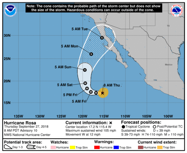
TROPICS: Tropical Storm Kirk is being strongly sheared as it moves through the Lesser Antilles this afternoon; it is expected to dissipate over the Caribbean within the next 36 hours. Over in the eastern Pacific, Rosa is expected to become a major hurricane tonight, but then weaken to a tropical storm as it approaches Baja California this weekend. Moisture will move up into the Southwest early next week, bringing the potential of heavy rain to parts of Arizona.
BEACH FORECAST: Click here to see the AlabamaWx Beach Forecast Center page.
WEATHER BRAINS: You can listen to our weekly 90-minute netcast any time on the web, or on iTunes. This is the show all about weather featuring many familiar voices, including meteorologists at ABC 33/40.
CONNECT: You can find me on all of the major social networks:
Facebook
Twitter
Instagram
Pinterest
Snapchat: spannwx
For more weather news and information from James Spann and his team, visit AlabamaWx.


