Scott Martin: A nice, warm weekend for Alabama
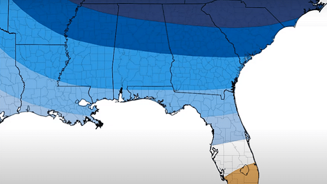
VERY NICE WEEKEND, BUT WARM: The trough that brought the rain on Wednesday and cooler weather to end the work week will push well off the East Coast, and a ridge will push into the Southeast from the west. Ridging usually means nice weather, and that is what we will get today — mainly clear skies with afternoon highs topping out in the lower to mid-80s.
A front will begin approaching from the northwest that will bring showers close by, but not close enough to spoil our great weather on Sunday. We may have a few more clouds, but skies are expected to stay mostly sunny. Highs will be warmer, reaching the mid to upper 80s.
MAY THE FOURTH BE WITH YOU: On Monday the front will stall out over the Tennessee Valley, which may bring a shower or two over the northern half of Alabama, but this looks to be a moisture-starved system, so we are not expecting much. We’ll have a mix of sun and clouds with highs reaching the mid-80s to the lower 90s.
SHOWERS POSSIBLE LATE TUESDAY, MUCH OF WEDNESDAY: The front will finally get the push it needs to move through the area starting late Tuesday night, and showers will be possible during the late-night and overnight hours. Before that, skies will be mostly sunny to start, but those clouds will begin to move in during the late afternoon. Highs will be in the lower 80s to the lower 90s.
The front will work its way through Alabama during the morning Wednesday, which will keep showers and maybe a clap of thunder or two in the forecast through the afternoon. Any shower activity will exit Alabama by the evening. Highs will be in the mid-70s to the lower 80s.
NICE WEATHER FOR THURSDAY: Much cooler and drier air can be expected Thursday as we’ll have plenty of sunshine. Afternoon highs will top out in the lower 70s to the lower 80s across Alabama
SHOWERS, STORMS RETURN: The Global Forecast System is painting a system moving through on Friday that will bring us showers and thunderstorms for much of the day. We’ll have some instability over the southern half of the state, but at this point it is too early to see if strong or severe storms are possible. The European model is on board with a system moving through at roughly the same time frame on Friday with no instability at all. Highs will be in the mid-70s to the lower 80s.
ATLANTIC HURRICANE SEASON IS ONE MONTH AWAY: That’s right; the 2020 Atlantic Hurricane Season starts June 1 and will go through Nov. 30. According to the experts at Colorado State University, 2020 may go down as a busy year. They are forecasting 16 named storms, including eight hurricanes. Four of those hurricanes are forecast to become major hurricanes, reaching Category 3 strength or greater. There is a 95% chance that a hurricane will move onshore along the U.S. coastline and a 69% chance that a major hurricane will make landfall on the U.S.
Here are the names on the 2020 Atlantic Hurricane list: Arthur, Bertha, Cristobal, Dolly, Edouard, Fay, Gonzalo, Hanna, Isaias, Josephine, Kyle, Laura, Marco, Nana, Omar, Paulette, Rene, Sally, Teddy, Vicky and Wilfred.
If we happen to exceed the 21 names on the list, then names will be taken in order of the Greek alphabet: Alpha, Beta, Gamma, Delta, Epsilon, Zeta, Eta, Theta, Iota, Kappa, Lambda, Mu, Nu, Xi, Omicron, Pi, Rho, Sigma, Tau, Upsilon, Phi, Chi, Psi and Omega.
ON THIS DATE IN 1929: Virginia’s worst tornado disaster occurred. Six tornadoes, two of which were west of the Blue Mountains, killed 22 people. Twelve children and a teacher were killed at Rye Cove in Scott County. Four schools were destroyed by the storms.
ON THIS DATE IN 1990: Fourteen cities in Florida, Georgia and South Carolina reported record high temperatures for the date as readings soared into the 90s. Tampa, Florida, reported a record high of 97 degrees, and Fort Stewart, Georgia, was the hot spot in the nation with a reading of 100 degrees.
For more weather news and information from James Spann, Scott Martin and other members of the James Spann team, visit AlabamaWx.


