James Spann: Alabama stays dry through next week; a freeze for some early Monday
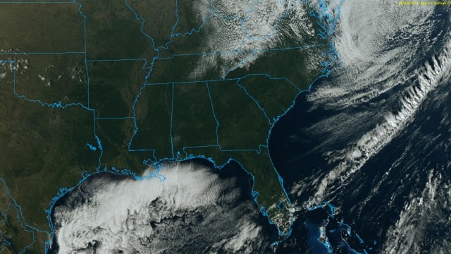
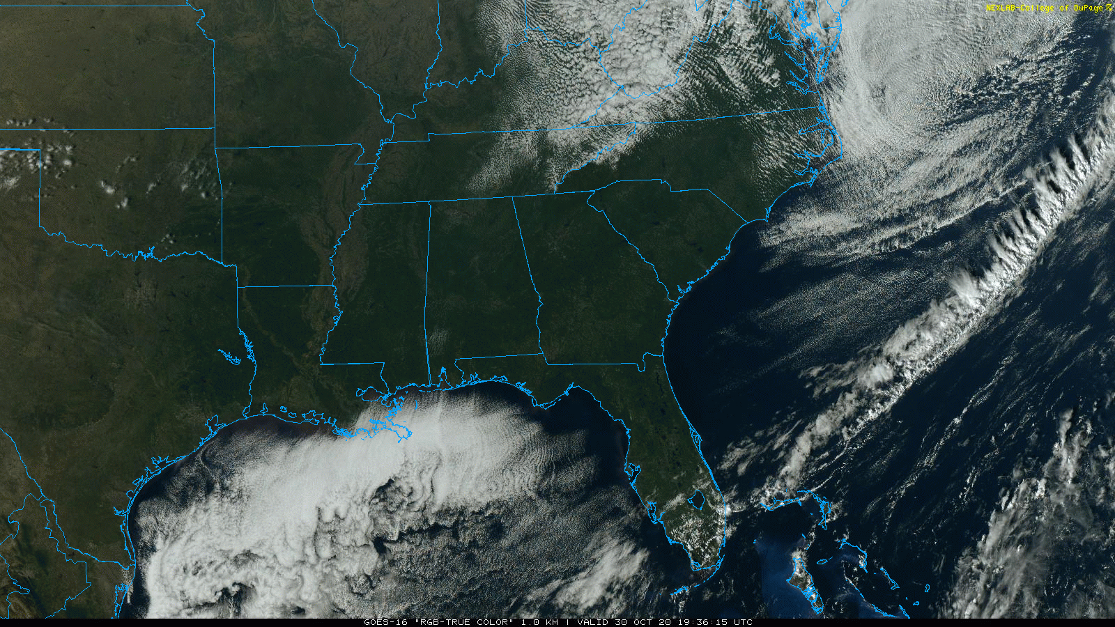
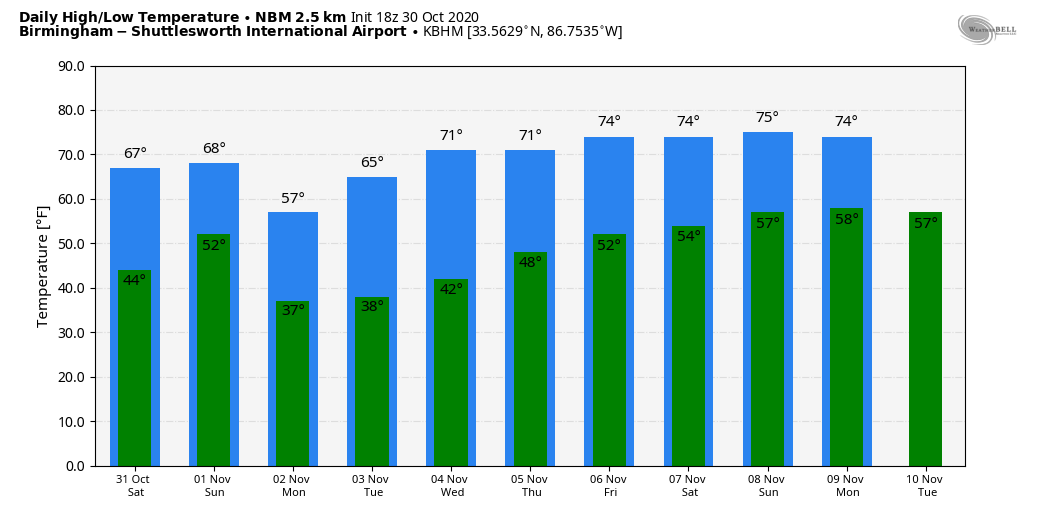
NOTHING BUT SUN: After some lingering morning clouds, we have sunshine in full supply across Alabama this afternoon. It is a cool late October day with temperatures in the upper 50s and low 60s; the average high for Birmingham on Oct. 30 is 71. Tonight will be clear and cool with a low in the 40s.
The weekend will feature more great autumn weather with sunny, pleasant days and fair, cool nights. Highs will be between 68 and 71 degrees Saturday and Sunday; the low early Sunday morning will be close to 50 degrees.
NEXT WEEK: The coldest air so far this season rolls into the state Sunday night. New model data suggests lows for most places early Monday morning will be in the 30- to 35-degree range; many communities will see their first freeze of the season along with lots of frost. Tuesday morning will probably be just as cold with frost as well. The week will be dry; the high will be in the upper 50s Monday, followed by mid 60s Tuesday. Then, look for low 70s Wednesday through Friday.
FOOTBALL WEATHER: For the high school games tonight, the sky will be clear with temperatures falling from the low 50s at kickoff into the mid 40s by the second half.
Saturday, Auburn hosts LSU (2:30 p.m. kickoff) at Jordan Hare Stadium. The sky will be sunny, with temperatures about 70 degrees at kickoff, mid 60s by the final whistle.
Alabama will host Mississippi State Saturday night (kickoff at 6) at Bryant-Denny Stadium. The sky will be clear with temperatures falling from the mid 60s at kickoff into the mid 50s by the fourth quarter.
UAB is on the road, taking on Louisiana Tech in Ruston Saturday (2:30 p.m. kickoff). The sky will be sunny with temperatures in the mid 60s at kickoff, falling to near 60 by the final whistle.
TROPICS: A tropical wave over the eastern Caribbean Sea is producing a concentrated area of showers and thunderstorms. This system is gradually becoming better organized, and conditions appear conducive for further development. A tropical depression is likely to form this weekend or early next week as the system moves westward across the central and western Caribbean Sea. Regardless of development, this system is expected to produce heavy rainfall across portions of the ABC islands and Jamaica through the weekend. Longer-range model data suggests the system will move into Central America early next week, but that is not carved in stone. The name will be “Eta.” The rest of the Atlantic basin is quiet.
ON THIS DATE IN 1991: The Perfect Storm, also known as the No-Name Storm, reached maximum strength with a low pressure of 972 millibars and sustained winds of 69 mph. The National Hurricane Center left it unnamed to avoid confusion amid media interest in the precursor extratropical storm. It later received the name “the Perfect Storm” (playing off the common expression) after a conversation between Boston National Weather Service forecaster Robert Case and author Sebastian Junger. The system was the 12th and final tropical cyclone, the eighth tropical storm and fourth hurricane in the 1991 Atlantic hurricane season. In the middle of the storm, the fishing vessel Andrea Gail sank, killing her crew of six and inspiring the book, and later movie, “The Perfect Storm.”
BEACH FORECAST: Click here to see the AlabamaWx Beach Forecast Center page.
WEATHER BRAINS: You can listen to our weekly 90-minute show anytime on your favorite podcast app. This is the show all about weather featuring many familiar voices, including the meteorologists at ABC 33/40.
CONNECT: You can find me on all of the major social networks:
Facebook
Twitter
Instagram
Pinterest
Snapchat: spannwx
For more weather news and information from James Spann and his team, visit AlabamaWx.


