Bill Murray: Dry, warm day for Alabama after a refreshing start
Bill Murray has the midweek forecast for Alabama from Alabama NewsCenter on Vimeo.
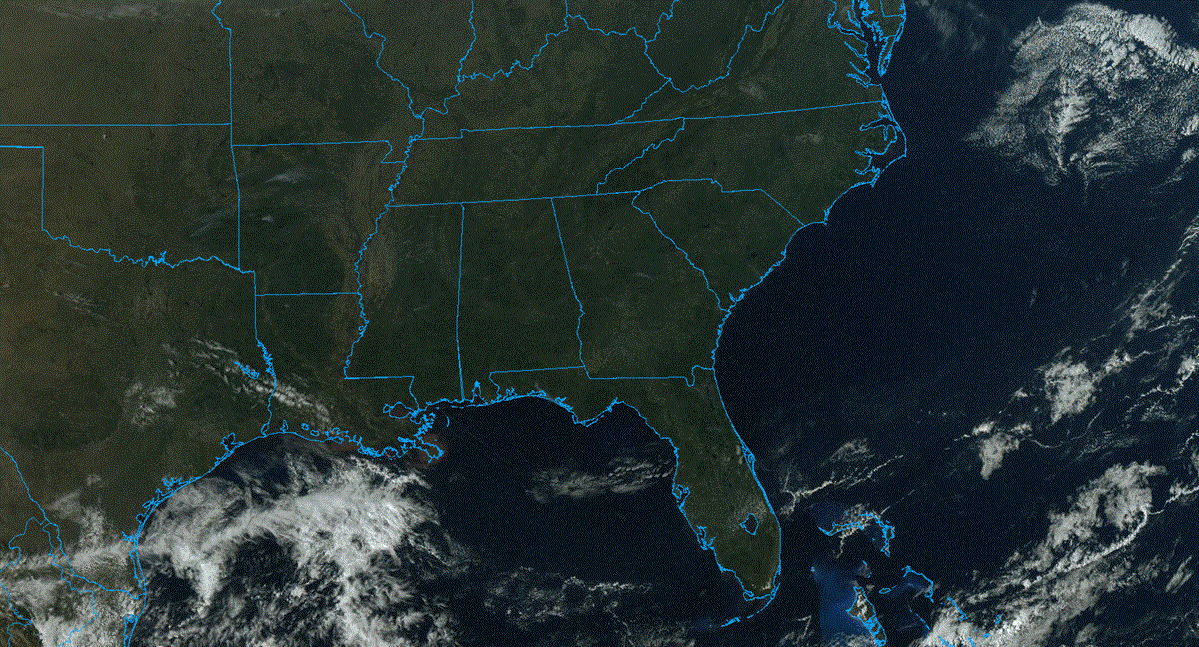
NICE START: It is a very pleasant morning across north and central Alabama by June standards. The cold front that pushed through much of the state Tuesday and last night is vacationing along the beautiful beaches of Alabama and northwest Florida. In its wake, much drier air has invaded the northern half of the state. We are benefiting from the dewpoints in the middle and upper 50s over north and north-central Alabama, with lower 60s farther south. Skies are clear this morning, but a sky filled with fair-weather cumulus will soon adorn the Alabama landscape. Highs today will be warm, in the middle 80s.
REST OF THE WEEK: The front will try to come back north as a warm front on Thursday, bringing along all that Gulf moisture along with it. Would it be too much to ask it to bring five pounds of shrimp along for the ride? It is going to have a hard time, though, as a battle will set up between it and the subtropical high parked along the East Coast. The high will keep the front mostly at bay through Thursday and Friday for central Alabama. The result should be mostly dry conditions both days, with just a small chance of an isolated afternoon or evening shower or storm.
WEEKEND OUTLOOK: Another front will be approaching Alabama by Saturday and Sunday. This will help to ratchet up our shower and thunderstorm chances, especially by Sunday. It will be warm and humid, with highs in the middle and upper 80s. Lows will be around 70. The weekend won’t be a washout, but you will be dealing with some splash-and-dash showers and storms.
NEXT WEEK: The last week of June and first week of July will feature fairly typical summertime weather, with scattered afternoon and evening showers and storms and fairly typical temperatures with highs in the upper 80s to near 90 and lows around 70. I have a feeling we are going to be keeping an eye on the Gulf of Mexico, though.
TROPICS: The disturbance approaching the Windward Islands is running into more unfavorable conditions and will not become a tropical cyclone in the short run. But it will run into a better environment for development by next week. The Global Forecast System continues to advertise a tropical cyclone in the Gulf by midweek. It will be interesting to watch.
BEACHCAST: The front will keep showers and storms around along the beautiful beaches of Alabama and northwest Florida. Rain chances will diminish a bit by Thursday and Friday and into the weekend. Highs will head back toward the upper 80s with lows in the middle 70s. Water temperatures are moving toward the mid-80s as well.
Click here to see the Beach Forecast Center page.
WEATHERBRAINS: This week, the panel spoke with Storm Chaser Aaron Rigsby. He really deserves to have a Ted Talk. His life is very inspiring. Check out the show at www.WeatherBrains.com. You can also subscribe on iTunes.
ON THIS DATE IN 1944: An outbreak of violent tornadoes occurred across eastern Ohio, northern West Virginia and western Pennsylvania. Thirty people were killed in Shinnston, West Virginia, which was leveled. A total of 154 people were killed and 966 were injured in the outbreak. The tornadoes defied previous meteorological thought by crossing mountainous terrain. A family of tornadoes killed 30 people along an 85-mile path from near Wellsburg, West Virginia, to near Uniontown, Maryland. As many as four violent tornadoes were on the ground simultaneously during the evening. The most devastating tornado of the evening was an F4 monster that carved a 60-mile path from near Pine Grove to near Alpena. One hundred people died in this tornado, including the 30 at Shinnston.
For more weather news and information from James Spann, Bill Murray and other members of the James Spann team, visit AlabamaWx.