James Spann: Rain returns to Alabama Wednesday
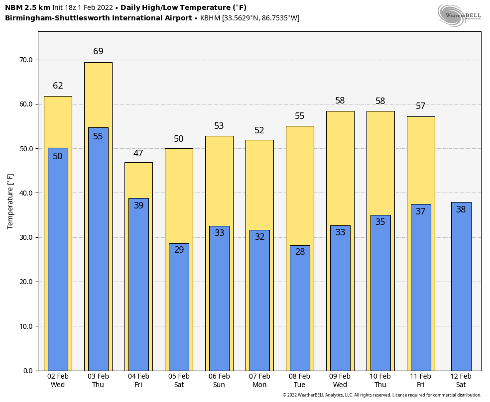
CHANGES AHEAD: Today is another very pleasant winter day across Alabama; with a decent amount of sunshine temperatures have warmed into the 60s again this afternoon. Clouds will thicken across the state tonight, and the low early Wednesday will be in the mid to upper 40s.
Rain will move into west Alabama Wednesday morning and should be fairly widespread across the northern half of the state Wednesday afternoon and night. The high will be between 58 and 62 degrees.
Thursday will be cloudy and warmer, with a high in the mid to upper 60s. Scattered showers are possible during the day, but the rain will be more widespread Thursday night. The Storm Prediction Center maintains a low-end, marginal risk of severe thunderstorms for southwest Alabama, where heavier storms could produce strong, gusty winds. But for most of the state, severe thunderstorms won’t be an issue.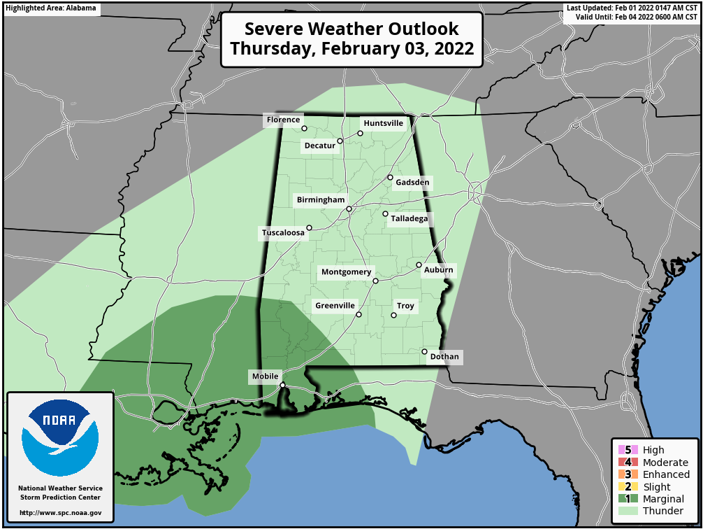
The rain will end Friday morning over north Alabama but will likely continue into Friday afternoon over the southern half of the state. Rain amounts will be 1-2 inches for most places Wednesday thorough Friday, with isolated amounts to 3 inches. A few isolated flooding problems could develop, but major flooding is not expected.
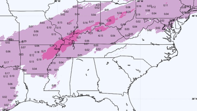
Friday will be sharply colder, with temperatures holding in the upper 30s over the Tennessee Valley and low 40s elsewhere over north Alabama. Freezing rain is possible across parts of Tennessee Thursday and Thursday night, but for Alabama it looks like an all-rain event.
THE ALABAMA WEEKEND: Forecast confidence isn’t especially high due to model inconsistency. Saturday will be cloudy and cool, with a high between 47 and 52. Some light rain is possible Saturday afternoon and night, mainly for the central and eastern counties. Sunday looks dry with a clearing sky. The high will be in the low 50s.
NEXT WEEK: For now the week looks generally dry with temperatures near average for early February — highs mostly in the 50s and lows in the 30s.
ON THIS DATE IN 1955: Seen first as a “well-defined cone-shaped funnel” over the Mississippi River, an F3 tornado cut a path from Commerce Landing to Clark in northeastern Mississippi. This tornado killed 20 and injured at least 141. Most of the deaths were in a plantation school.
ON THIS DATE IN 1966: A snow/ice event was underway in Alabama. A period of freezing rain followed by light snow brought traffic to a complete standstill across north Alabama. Ice accumulations up to 1 inch downed numerous trees and caused power outages. A number of chicken houses in the northern part of the state collapsed under the weight of the ice and snow. Accumulations varied widely, with some of the highest amounts reported in the 1- to 3-inch range.
ON THIS DATE IN 2011: One of the most significant events of the 2010-2011 winter season affected a widespread region from Texas to the Midwest and Northeast Feb. 1-3. The system produced widespread heavy snow with blizzard conditions and significant freezing rain and sleet to other locations. Snowfall amounts of 10 to 20 inches were common from northeast Oklahoma to lower Michigan. The storm produced 20.2 inches at Chicago, the third-heaviest snowfall in the city since records began in 1886, along with a peak wind of 61 mph.
BEACH FORECAST: Click here to see the AlabamaWx Beach Forecast Center page.
WEATHER BRAINS: You can listen to our weekly 90-minute show any time on your favorite podcast app. This is the show all about weather featuring many familiar voices, including the meteorologists at ABC 33/40.
CONNECT: You can find me on the major social networks:
For more weather news and information from James Spann and his team, visit AlabamaWx.


