James Spann: Dry weekend ahead for Alabama; more active weather next week
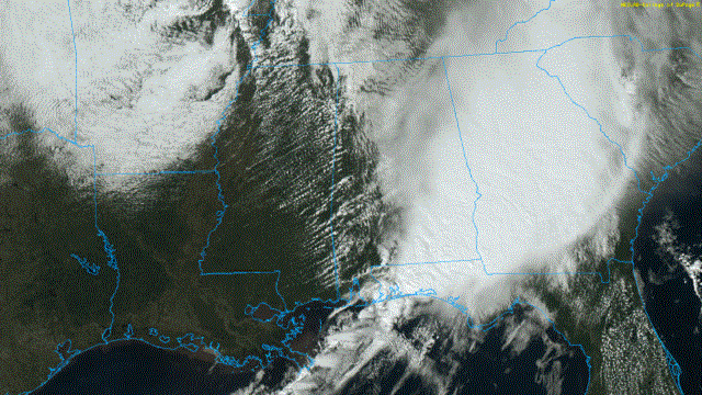
RADAR CHECK: The large mass of rain and storms that brought flooding, strong winds and some hail to Alabama this morning is pretty much out of the state this afternoon; storms linger over the far southeast counties. The sky is clearing over west Alabama, where temperatures have recovered into the low 70s. Additional showers and a few thunderstorms will likely develop ahead of a cold front over the western side of the state over the new few hours, moving eastward this evening.
The air mass was totally worked over by the morning thunderstorms, so the overall severe risk for the evening is low, but a few strong storms could form with gusty winds and possibly some small hail. The sky will clear late tonight as dry air works in following the passage of the cold front.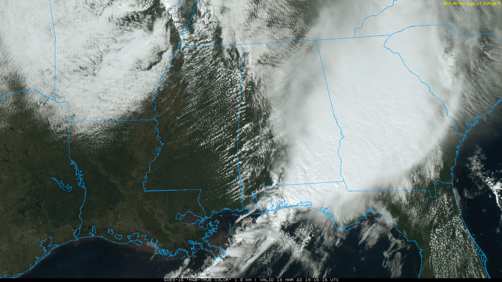
THE WEEKEND: Dry weather is the story, with sunny, pleasant days and clear, cool nights. The high will be in the mid 60s Saturday, followed by low 70s Sunday. Colder spots will drop into the 30s early Sunday morning, and a little scattered light frost can’t be ruled out.
NEXT WEEK: Monday will be dry and mild, but a dynamic weather system will bring another round of rain and storms to the state late Tuesday, Tuesday night and early Wednesday. The large-scale, synoptic setup favors a risk of severe thunderstorms; for now it looks like the main threat window will from about 3 p.m. Tuesday through 6 a.m. Wednesday. This far out, however, we don’t know the small-scale setup, which ultimately determines the magnitude of the event. We will be much more specific by Sunday night and Monday.
The weather looks dry for most of the day Wednesday after the storms exit the state, along with Thursday and Friday. ON THIS DATE IN 1925: The great “Tri-State Tornado” occurred, the deadliest tornado in U.S. history. The storm claimed 695 lives (including 234 at Murphysboro, Illinois, and 148 at West Frankfort, Illinois), and caused $17 million property damage. It cut a swath of destruction 219 miles long and as much as a mile wide from east-central Missouri to southern Indiana between 1 p.m. and 4 p.m. The tornado leveled a school in West Frankfort, Illinois, and picked up 16 students, setting them down unharmed 150 yards away. Seven other tornadoes claimed an additional 97 lives that day.
BEACH FORECAST: Click here to see the AlabamaWx Beach Forecast Center page.
WEATHER BRAINS: You can listen to our weekly 90-minute show any time on your favorite podcast app. This is the show all about weather featuring many familiar voices, including the meteorologists at ABC 33/40.
CONNECT: You can find me on all of the major social networks:
For more weather news and information from James Spann and his team, visit AlabamaWx.


