James Spann: Frost advisory for Alabama tonight; dry weekend ahead
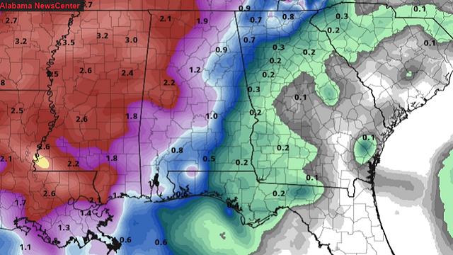
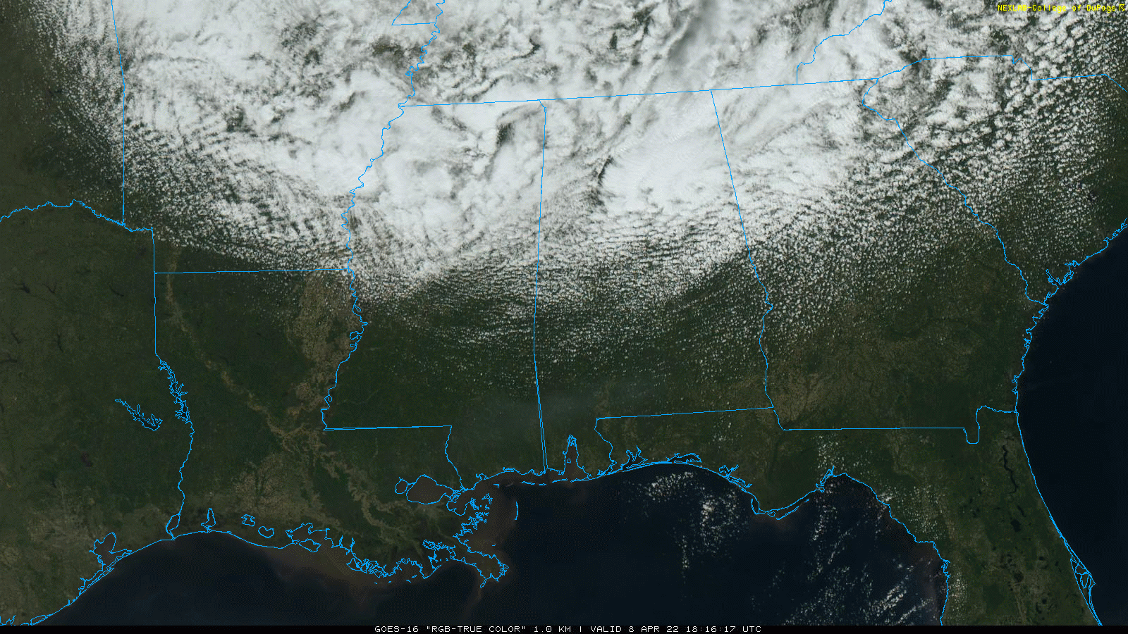
RADAR CHECK: A few showers are over the northern third of Alabama this afternoon under a deep upper trough rotating through the state. Some sleet and graupel (granular snow pellets) have mixed with the rain in spots across the Tennessee Valley due to the very cold air aloft. Otherwise, the sky is mostly cloudy over north Alabama, with a partly to mostly sunny sky for the southern counties of the state. Temperatures are well below average; many communities north of Birmingham are holding in the 40s. The average high for April 8 in Birmingham is 73.
 Showers will end this evening, and the sky becomes mostly clear with a diminishing wind late tonight. This will set the stage for lows between 26 and 36 degrees early Saturday morning over the northern half of the state. A frost advisory is in effect for areas north of a line from Tuscaloosa to Calera to Roanoke, and colder pockets will see a freeze.
Sunday morning will be cold as well, with frost developing in many of the same areas. Otherwise, the weekend will feature a good supply of sunshine. The high will be close to 60 Saturday, followed by mid 70s Sunday as a warming trend begins.
NEXT WEEK: Moisture levels will rise, and we will mention some risk of scattered showers and storms daily Monday through Wednesday. This won’t be widespread rain, but more like activity we see in summer. An organized band of rain and storms will likely arrive by Wednesday night or Thursday. It’s too early to know whether severe storms will be an issue then. The Storm Prediction Center has defined severe weather risks west of Alabama during the first half of the week.
Temperatures next week will be close to average for mid-April, with highs most days in the 70s.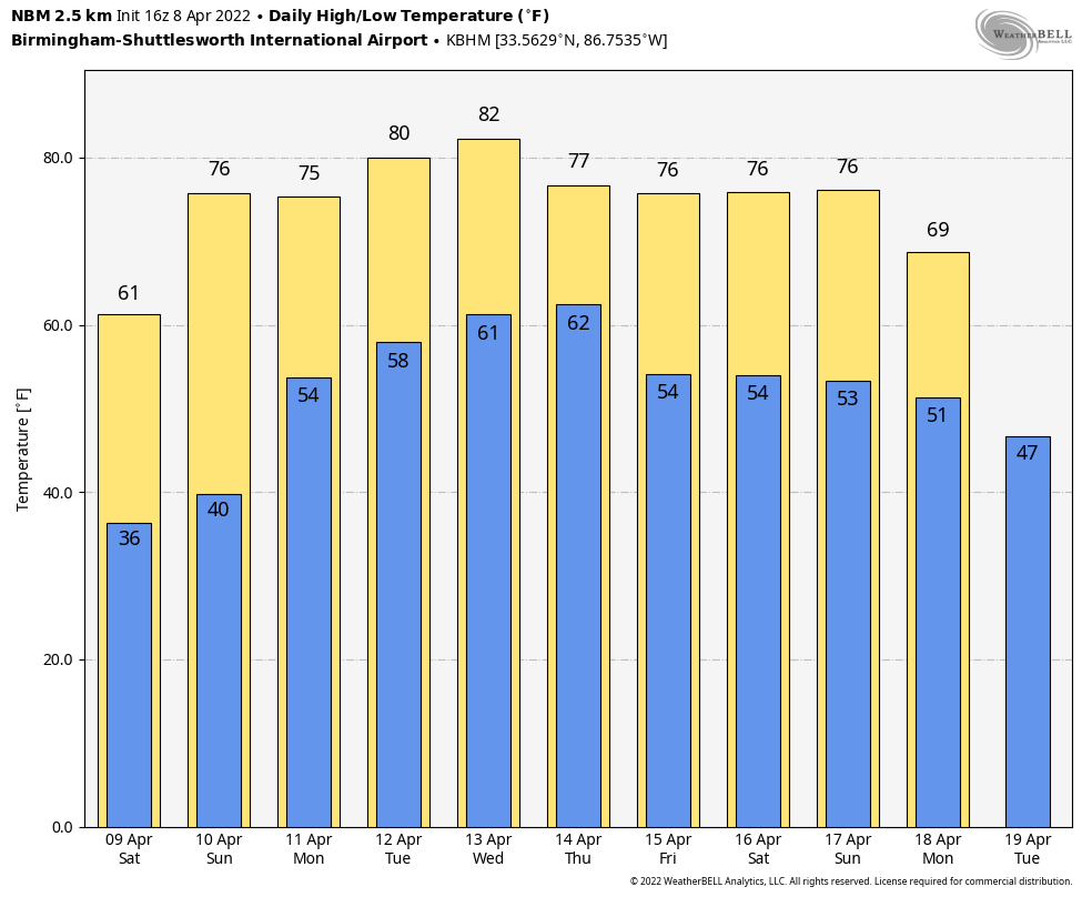
ON THIS DATE IN 1998: A violent F5 tornado cut a 31-mile-long, three-quarter-mile-wide swath through Birmingham suburbs including Oak Grove, Sylvan Springs, Rock Creek, Pleasant Grove, Concord, Maytown, Pratt City and Edgewater before lifting in the western limits of Birmingham. The worst of the destruction occurred across the Oak Grove, Rock Creek and McDonald Chapel areas. Thirty-two people were killed in this tornado: three in Oak Grove, 11 near Rock Creek, four in Sylvan Springs, two in Wylam Heights, nine in Edgewater, two in McDonald Chapel and one in West Ensley.
The same parent storm would drop another tornado that killed two more people in St. Clair County near Wattsville.
BEACH FORECAST: Click here to see the AlabamaWx Beach Forecast Center page.
WEATHER BRAINS: You can listen to our weekly 90-minute show any time on your favorite podcast app. This is the show all about weather featuring many familiar voices, including the meteorologists at ABC 33/40.
CONNECT: You can find me on the major social networks:
For more weather news and information from James Spann and his team, visit AlabamaWx.


