James Spann: Here come the 90s, Alabama
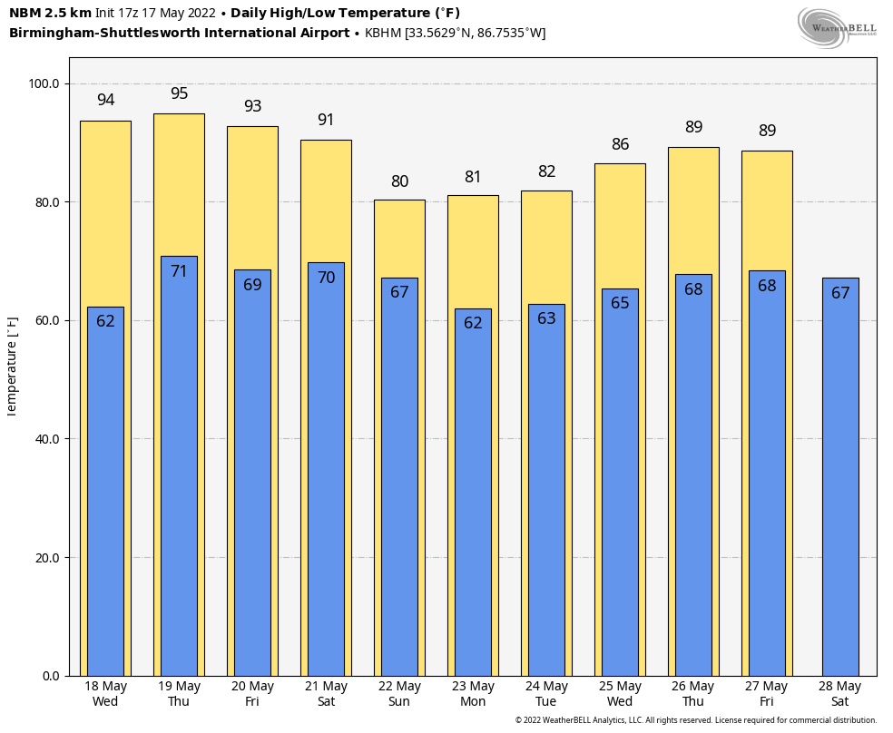
SUNNY MAY DAY: Temperatures are mostly in the low to mid 80s across Alabama this afternoon, very close to seasonal averages. The sky is mostly sunny and the only showers on radar are near the Gulf Coast, and even there they are few and far between. Tonight will be mostly fair with a low in the 60s.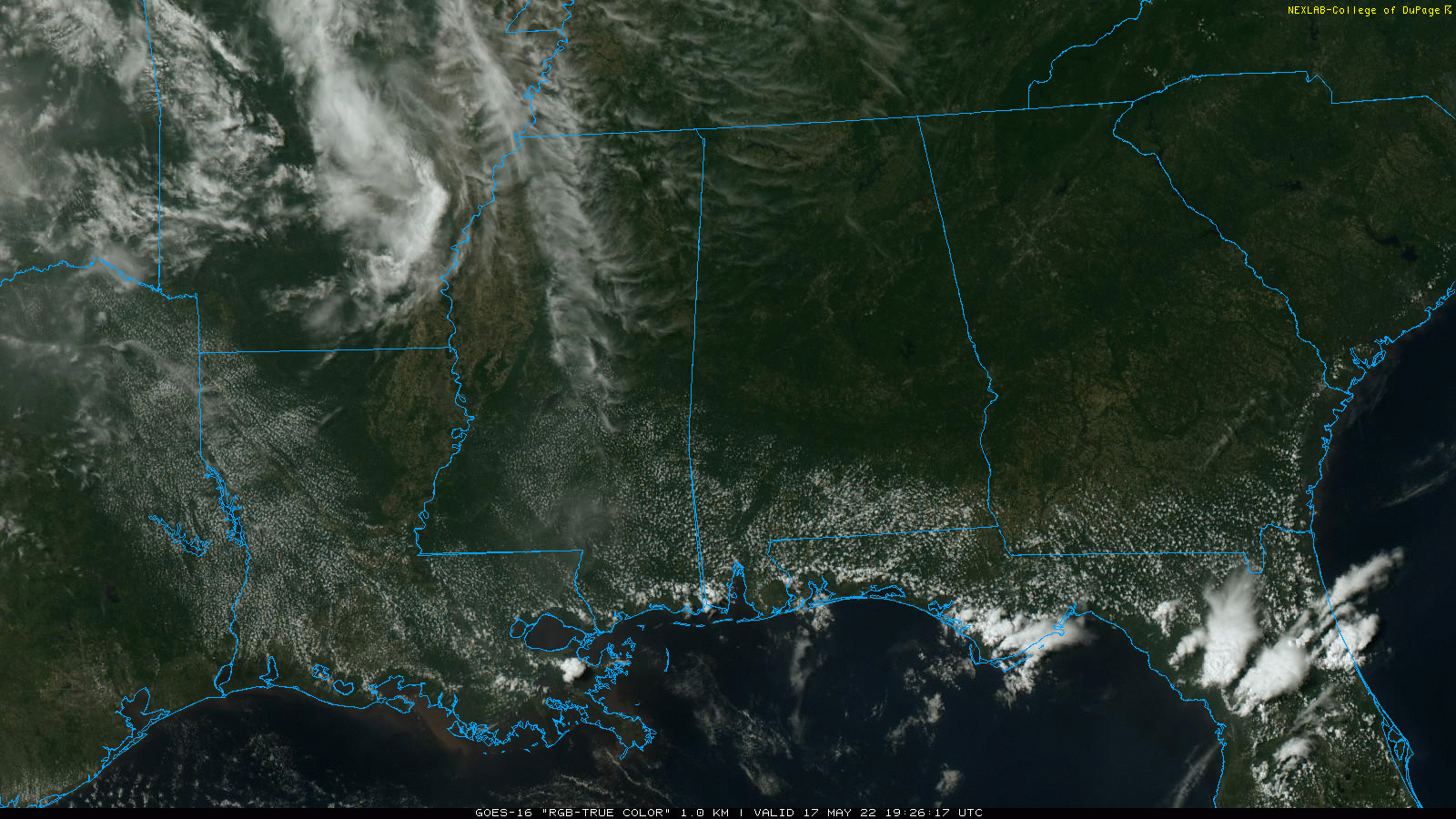 HEAT LEVELS RISING: Look for a high in the low 90s Wednesday and mid 90s Thursday and Friday with a good supply of sunshine each day. It will be the hottest weather so far this year as the upper ridge over the region takes control. A summer preview.
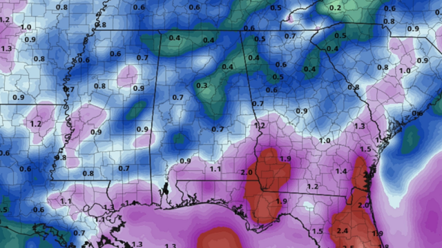
THE ALABAMA WEEKEND: The ridge weakens, and a front approaches the state from the northwest. This will open the door for a chance of scattered showers and thunderstorms Saturday, and scattered to numerous showers and storms Sunday. The weekend won’t be a washout, but you will deal with a passing shower or storm from time to time, with the higher rain coverage Sunday as the front stalls out near the northwest corner of the state. The sky will be cloudy at times and heat levels come down. The high will be in the mid 80s Saturday and between 77 and 81 degrees Sunday.
NEXT WEEK: The front north and west of the state will wash out, and the week looks warm and humid with some risk of scattered, mostly afternoon and evening showers and storms daily. Highs will be generally in the 80s.
You will see lots of hype on social media about the deterministic Global Forecast System showing a significant tropical system in the Gulf of Mexico late next week, but that idea has zero support from the reliable European model. The Canadian global model also shows nothing, and the GFS ensemble output doesn’t show much either. Also, climatology doesn’t favor a hurricane in the Gulf in late May. If you have a beach trip planned for Memorial Day, ignore the social media hype and stick with reliable sources.
Could there be a tropical system in late May? Sure. But there is no skill in forecasting one 10-15 days in advance.
ON THIS DATE IN 1896: An estimated F5 tornado tracked 100 miles through northeastern Kansas and extreme southeastern Nebraska. Seneca, Oneida, Sabetha and Reserve, Kansas, sustained severe damage. While passing through Reserve, the tornado was 2 miles wide. Twenty-five people were killed and 200 were injured.
ON THIS DATE IN 1979: A reading of 12 degrees at Mauna Kea Observatory established a record low for the state of Hawaii.
BEACH FORECAST: Click here to see the AlabamaWx Beach Forecast Center page.
WEATHER BRAINS: You can listen to our weekly 90-minute show any time on your favorite podcast app. This is the show all about weather featuring many familiar voices, including the meteorologists at ABC 33/40.
CONNECT: You can find me on the major social networks:
For more weather news and information from James Spann and his team, visit AlabamaWx.


