Brian Peters: Storms today; colder end of the week in Alabama

Brian Peters Alabama NewsCenter weather forecast for December 28 from Alabama NewsCenter on Vimeo.
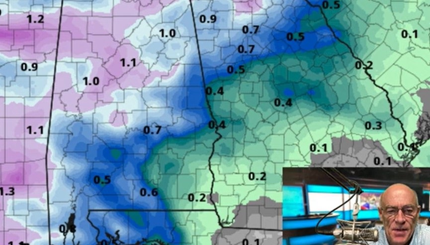
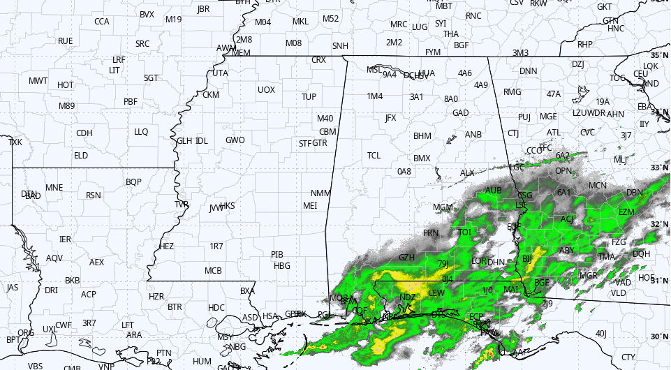
Our transition out of the unusually warm weather pattern begins today with the passage of a cold front that should enter Alabama from Mississippi around 8 am and traverse the state fairly briskly. A flash flood watch is in effect for about the northern half of Alabama until 6 pm today. Rainfall amounts of 1 to 2 inches can be expected with the storms as they move through Alabama which could easily aggravate those already swollen rivers, streams, and creeks.
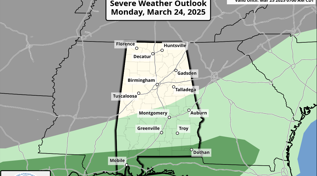
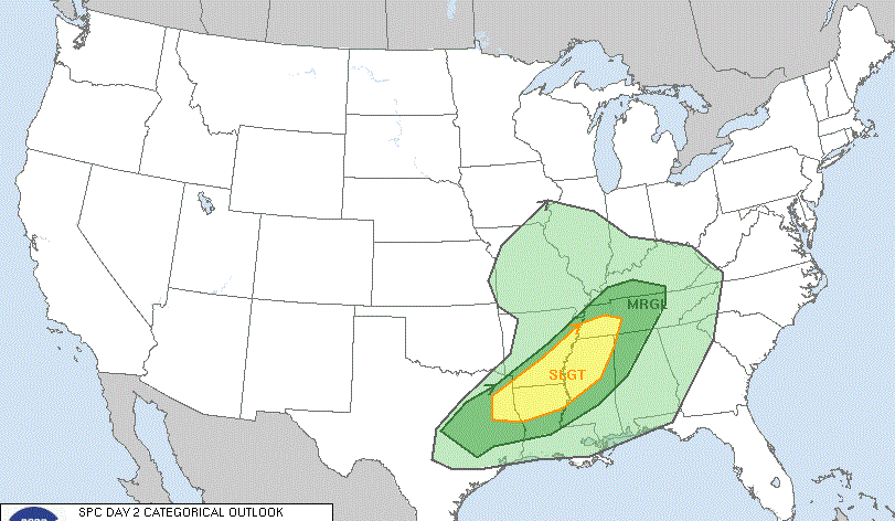
I expect a tornado watch to be issued by SPC perhaps during the preparation of the Weather Xtreme Video. Nearly all of Alabama with the exception of a narrow band about one county wide along the Georgia border is within the standard “slight risk” area outlooked by SPC. CAPE values and shear values are certainly forecast to be sufficient for the potential for damaging thunderstorm wind and isolated tornadoes. Tornadoes that do occur are going to be part of the line of thunderstorms, so strength of the tornadoes should be kept down – but still dangerous and potential killers. Look for bowing line segments along the squall line (QLCS).
Our weather becomes much more tranquil tonight and Tuesday as the front moves east of Alabama. However the front will move back north on Wednesday and when combined with another short wave coming from the Plains will serve as a focus for widespread showers and some thunderstorms. I do not expect this to be severe, however, there are still concerns about the potential for additional flash flooding.
This rain/storm combo should move out early Thursday as we gear up for a transition to a much colder pattern for the Southeast as an upper trough is gradually carved out across the eastern US. This pattern change will drive temperatures much colder but not a long way from where we typically are in late December or early January. We’ve been so warm lately, that just getting back to 30-year averages is going to be a sizable cool down.
We should stay cool and dry through the weekend and into early next week.
Looking into Week 2, or voodoo country, the GFS continues to keep an active weather pattern as fluctuate between a ridge around January 5th and another low latitude short wave by the 10th of January.
Be sure to check back for updates on the latest weather for Central Alabama.
-Brian-
For more weather news and information from Brian Peters and the rest of the James Spann weather team, visit Alabama WX.


