James Spann: Summer-like weather for Alabama through Thursday
James Spann: Alabama temperatures head for the mid to upper 80s from Alabama NewsCenter on Vimeo.
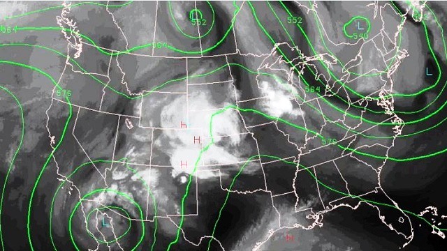
DRY, VERY WARM: An upper ridge will build across the Deep South over the next 36 hours, setting up a dry and summer-like pattern through Thursday for Alabama. We expect mostly sunny days, fair nights and afternoon highs in the 85- to 89-degree range. A few spots could touch 90 degrees tomorrow and Thursday.
RAIN RETURNS LATE THIS WEEK: It still looks like our next chance of rain and thunderstorms will come Friday afternoon and Friday night ahead of the next storm system to the west. We project the main 12-hour window for showers and storms to be from about 3 p.m. Friday through 3 a.m. Saturday. There will be enough shear and instability for a few strong storms, but the severe weather parameters don’t look too overwhelming at this point, and the Storm Prediction Center has not defined any severe weather risk for that day. Rain amounts around one-half inch look likely, with potential for up to 1 inch in a few spots.
THE ALABAMA WEEKEND: Rain will end very early Saturday morning; the sky becomes partly sunny during the day Saturday with a high between 77 and 80 degrees. Sunday will feature sunshine in full supply with a high in the low 80s.
NEXT WEEK: For now, at least, the first half of the week looks warm and dry with highs in the 80s; some showers are possible toward the end of the week, but that is pretty “iffy” at this point. Overall it looks like a pretty quiet week.

Click here to see the Beach Forecast Center page.
WEATHER BRAINS: You can listen to our weekly 90-minute netcast anytime on the web, or on iTunes. This is the show all about weather featuring many familiar voices, including meteorologists at ABC 33/40.
CONNECT: You can find me on all of the major social networks:
Facebook
Twitter
Google Plus
Instagram
Pinterest
Snapchat: spannwx
For more weather news and information, visit AlabamaWX.


