James Spann: Drier air to arrive in Alabama this weekend
James Spann: More storms for Alabama before drier air arrives from Alabama NewsCenter on Vimeo.
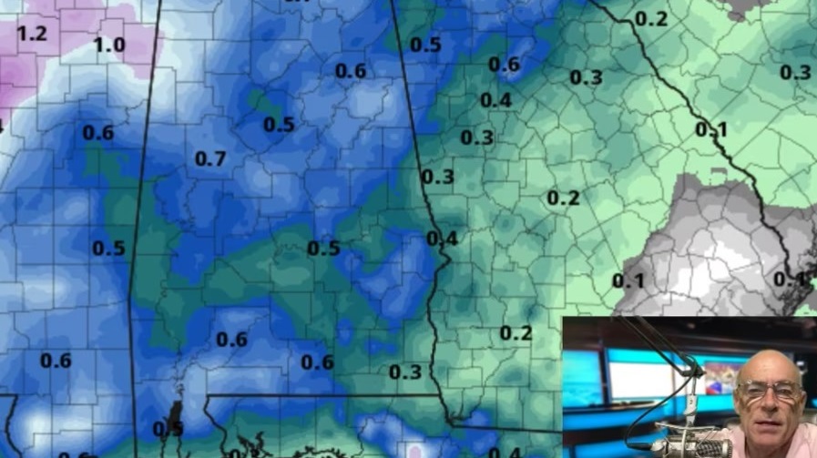
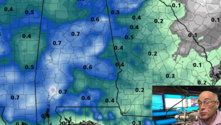
HOT, HUMID SUMMER DAY: Today looks like a classic midsummer day for Alabama — hot and muggy, with a few storms in random places this afternoon and early tonight. We expect a high in the 92- to 95-degree range, and the chance of any one spot seeing a storm this afternoon is about 1 in 4. Most of the showers and storms will come between 1 and 8 p.m. There’s no way of knowing this morning exactly when and where they pop up this afternoon.
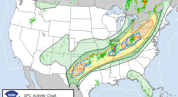
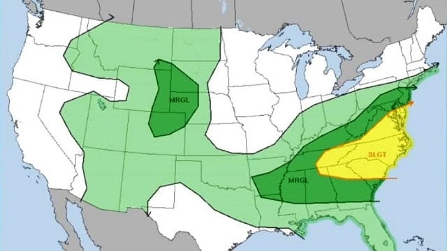
TOMORROW: A rare late July surface front will approach Alabama from the north, and that should set the stage for scattered to numerous showers and storms, especially tomorrow afternoon and tomorrow night. Some of the storms could be strong; the Storm Prediction Center has a “marginal risk” up for much of the state, with a “slight risk” for the far northeast counties.

Heavier storms could produce strong, gusty winds, maybe enough to knock down trees and power lines in a few spots. The high tomorrow will be in the mid to upper 80s for most spots because of the increased cloud cover and showers.
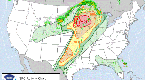
THE ALABAMA WEEKEND: Dry, continental air moves into north Alabama Saturday; most of the showers and storms will be confined to the southern half of the state. SPC has a “marginal risk” up Saturday afternoon for south Alabama, where a few strong storms will be possible. Then, on Sunday, dry air will cover all of the state with ample sunshine, lower humidity and a pleasant morning. Lows will be well down in the 60s early Sunday, and some of the cooler pockets over north Alabama could see upper 50s.
NEXT WEEK: Expect another preview of fall early Monday with lows in the upper 50s and low 60s. Monday and Tuesday will be mostly sunny with a high between 87 and 90, and fairly low humidity values. Then moisture returns and we will mention scattered, mostly afternoon and evening showers and storms Wednesday through Friday. There’s no sign of any excessively hot weather (upper 90s or triple digits) for the next 15 days.

TROPICS: A weak wave in the eastern Atlantic could show some slow development over the next five days, but it will have a hard time due to dry air in the region. The rest of the Atlantic basin remains very quiet.
BEACH FORECAST: Click here to see the AlabamaWx Beach Forecast Center page.
WEATHER BRAINS: You can listen to our weekly 90-minute netcast anytime on the web, or on iTunes. This is the show all about weather featuring many familiar voices, including meteorologists at ABC 33/40.
CONNECT: You can find me on all of the major social networks:
Facebook
Twitter
Google Plus
Instagram
Pinterest
Snapchat: spannwx
For more weather news and information, visit AlabamaWx.