James Spann: A few showers, storms for Alabama tomorrow

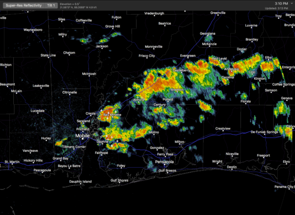
SUNNY, WARM AFTERNOON: Under a sunny sky, temperatures are mostly in the low to mid 80s this afternoon. Showers and thunderstorms are confined to the far southern part of Alabama, mostly south of U.S. 84.
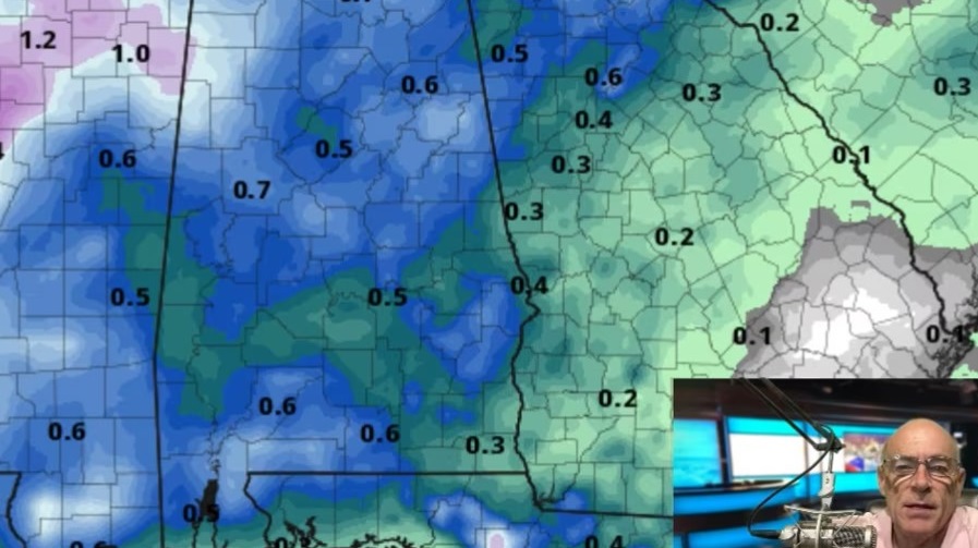
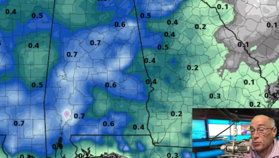
THE WEEKEND: Moisture levels will increase statewide tomorrow, and we will have the risk of scattered, mostly afternoon and evening showers and thunderstorms. Most of the showers and storms will come from noon to 8 p.m., and the chance of any one spot getting wet is about 1 in 4. The high tomorrow will be in the mid to upper 80s for most places with a mix of sun and clouds.
The air will be drier Sunday; afternoon showers will be few and far between with a partly sunny sky and temperatures reaching the upper 80s by afternoon.
FOOTBALL WEATHER: Looking good for high school games tonight — mostly fair, with temperatures falling from the upper 70s at kickoff into the low 70s by the fourth quarter.
Auburn hosts Mercer Saturday afternoon (3 p.m. kickoff). We project a mix of sun and clouds with the chance of a brief shower or thunderstorm during the game. Temperatures will be near 87 at kickoff, falling into the upper 70s by the final whistle.
UAB also has an afternoon game, hosting Coastal Carolina (noon kickoff) at Birmingham’s Legion Field. The temperature will be near 83 at kickoff, rising to near 88 by the fourth quarter. It will be partly sunny; a brief shower or thunderstorm is possible.
And Alabama hosts the Colorado State Rams at Bryant Denny Stadium Saturday (6 p.m. kickoff). There’s a chance of a brief shower or storm during the evening; otherwise, it will be mostly fair with temperatures falling from the mid 80s at kickoff into the 70s by the second half.
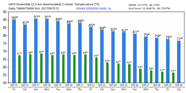
NEXT WEEK: An upper ridge will hold across the eastern half of the nation; around here the weather will be warm and mostly dry Monday and Tuesday, with only isolated showers. Scattered showers and storms should increase Wednesday through Friday as moisture levels rise; highs all week will be in the 80s.
TROPICS: An active pattern continues across the Atlantic basin with three systems on the board.
TROPICAL STORM JOSE: Jose is expected to become a hurricane tonight in the Atlantic well east of the Bahamas. It will turn northward and pass between the North Carolina Outer Banks and Bermuda early next week, and could flirt with the upper Atlantic coast of the U.S. later in the week. One way or another, the storm will bring dangerous surf and rip currents to the eastern seaboard in coming days.

Those along the upper Atlantic coast from Long Island to Maine will need to monitor the progress of Jose.
TROPICAL DEPRESSION 14: This is expected to become Tropical Storm Lee soon; it will begin to gain latitude in a few days and seems to be in a position to recurve harmlessly into the Atlantic without being a threat to land.
INVEST 96L: This wave is west of TD14 and has a good chance of becoming Tropical Storm Maria within the next 48 hours. In fact, a tropical storm or hurricane watch could be required for parts of the northern Leeward Islands over the weekend. Models suggest this one will turn northward around Puerto Rico, meaning no threat to the Gulf of Mexico. But it is way too early to know the final destination.
BEACH FORECAST: Click here to see the AlabamaWx Beach Forecast Center page.
WEATHER BRAINS: You can listen to our weekly 90-minute netcast anytime on the web, or on iTunes. This is the show all about weather featuring many familiar voices, including meteorologists at ABC 33/40.
CONNECT: You can find me on all of the major social networks:
Facebook
Twitter
Google Plus
Instagram
Pinterest
Snapchat: spannwx
For more weather news and information from James Spann and his weather team, visit Alabama Wx.