James Spann: Higher rain chances, lower heat levels ahead for Alabama
RECORD HEAT TODAY: Birmingham has reached 93 degrees this afternoon; that is a new record high for May 14. The old record was 92, recorded in 1998 and 1962. To the north, Huntsville has a new record high for the date with 94. There’s nothing on radar over the northern half of the state; for Birmingham, today is the 18th consecutive day with no measurable rain, based on data at Birmingham-Shuttlesworth Airport.
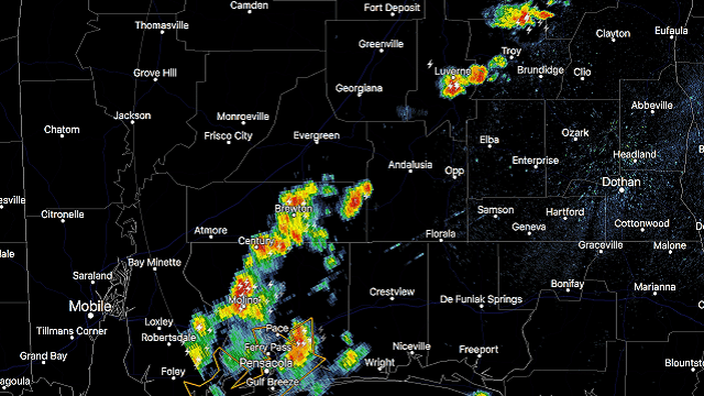
TO THE SOUTH: We have scattered strong storms over parts of south Alabama; these are moving to the west/southwest.

CHANGES AHEAD: A disturbance in the eastern Gulf of Mexico remains disorganized this afternoon. The National Hurricane Center maintains a 40 percent chance of this becoming a tropical or subtropical storm over the next five days.

Even if this doesn’t develop, it will move northward and bring enhanced rain chances to the Southeast in coming days. For Alabama, this means a chance of badly needed rain and lower heat levels.
TUESDAY: We will forecast a partly sunny sky, and a few scattered showers or storms could form by afternoon and into the evening. The chance of any one spot getting wet is only about 1 in 3, and the high will be in the 87- to 90-degree range.
WEDNESDAY THROUGH FRIDAY: Deeper moisture moves into the state, and on these three days the sky will feature more clouds and sun, and we expect occasional showers and a few thunderstorms. Highs will be lower, generally in the 82- to 85-degree range — close to seasonal averages for mid to late May.
THE ALABAMA WEEKEND: No real change. A deep layer of tropical moisture will remain over Alabama, meaning generally cloudy conditions Saturday and Sunday with occasional showers. A thunderstorm is possible at times as well. Highs will stay in the low to mid 80s.
For those outdoor events, including the Regions Tradition at Greystone and the Hangout Music Festival at Gulf Shores:
- The rain won’t be continuous; there will be some nice breaks.
- No severe storms are expected, but some thunder is very possible.
- The sun should break out at times.
It is simply impossible to give start/stop times of rain at any specific location; just be ready for some rain at times, and go indoors (or in a vehicle) if you hear thunder.
NEXT WEEK: Showers become more scattered in nature next week as the ridge begins to rebuild, but we will still mention widely scattered, mostly afternoon and evening showers and thunderstorms through much of the week.

BEACH FORECAST: Click here to see the AlabamaWx Beach Forecast Center page.
WEATHER BRAINS: You can listen to our weekly 90-minute netcast any time on the web, or on iTunes. This is the show all about weather featuring many familiar voices, including meteorologists at ABC 33/40. We will produce this week’s show tonight at 8:30. You can watch it live here.
CONNECT: You can find me on all of the major social networks:
Facebook
Twitter
Google Plus
Instagram
Pinterest
Snapchat: spannwx
For more weather news and information from James Spann and his team, visit AlabamaWx.