James Spann: Showers few and far between for Alabama
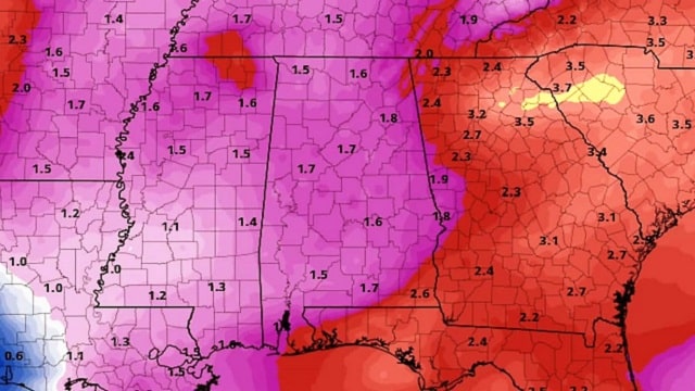
RADAR CHECK: As expected, we have a few isolated showers over north Alabama today ahead of a surface front, but most places are hot and dry, with temperatures in the low 90s. We do note a few scattered storms over far south Alabama as well.

Isolated showers will end this evening as drier air moves in from the north.
THE ALABAMA WEEKEND: The quiet weather pattern continues. We are forecasting a good supply of sunshine Saturday and Sunday; humidity levels will be a little lower. Some of the cooler spots across north Alabama will drop into the 58- to 62-degree range early Sunday for a brief taste of fall. The chance of a shower both days is so small over the northern half of the state that we don’t mention it in the forecast. A few widely scattered storms are possible across south Alabama.
NEXT WEEK: We will mention isolated afternoon showers Monday, but the chance of showers and storms will increase Monday through Thursday as moisture levels rise and the air becomes more unstable thanks to an upper trough to the west. Showers will thin out a bit Friday. The high Monday will be around 90, dropping into the 80s each day for the rest of the week.

TROPICS: All remains quiet across the Atlantic basin this afternoon; tropical storm formation is not expected through early next week.
BEACH FORECAST: Click here to see the AlabamaWx Beach Forecast Center page.
WEATHER BRAINS: You can listen to our weekly 90-minute netcast any time on the web, or on iTunes. This is the show all about weather featuring many familiar voices, including meteorologists at ABC 33/40.
CONNECT: You can find me on the major social networks:
Facebook
Twitter
Google Plus
Pinterest
Snapchat: spannwx
For more weather news and information from James Spann and his team, visit AlabamaWx.


