Scott Martin: Some drizzle for Alabama early today with clearing skies to follow
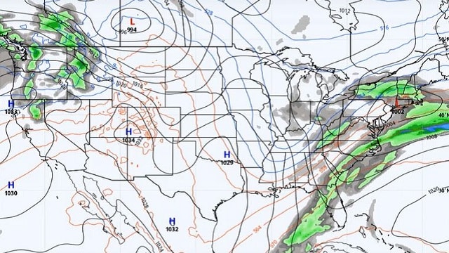
NICE END TO THE WEEKEND: Sunday looks to be a fine and dandy day. We’ll have plenty of sunshine and seasonal temperatures. Afternoon highs will top out in the mid to upper 50s. One or two locations in southwest Alabama may reach 60 degrees.
NICE MONDAY: Monday will be another dry day, but temperatures will be right back above seasonal averages. Skies will be mainly sunny throughout the daylight hours with highs reaching the upper 50s to the mid-60s.
LIGHT SHOWERS POSSIBLE TUESDAY: A disturbance forms overnight and a few showers will begin to move into northwestern Alabama before dawn Tuesday. Those will eventually work across during the morning, with much of the activity staying over the northern half of Alabama. By midday, the showers have pretty much dissipated and we’ll be left with clearing skies. Highs will be in the lower 50s to the lower 60s. Rainfall amounts will be less than one-quarter inch.
CLEAR, COOL HUMP DAY: We’re back to mainly sunny skies and cooler temperatures Wednesday as we’ll have a surface high just to our southeast, over southwestern Georgia. Highs will be in the lower to mid-50s.
DRY THURSDAY: The surface high moves just a tad south, but we’ll stay dry for the entire day at this point. Skies will be mostly clear to start, with clouds increasing throughout the day. Afternoon highs will be in the mid-50s to the lower 60s.
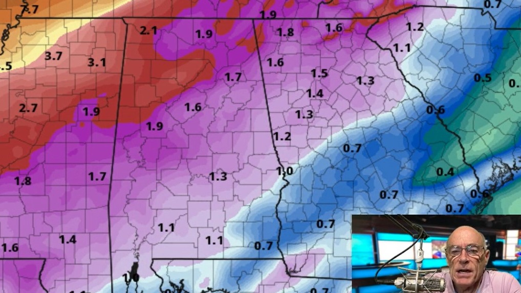
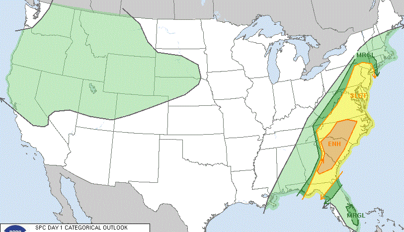
HEAVY RAIN, A FEW STORMS POSSIBLE FRIDAY: A low develops to our northwest and will push moisture into Alabama during the day. We’ll have a good chance of showers and maybe a few thunderstorms during the afternoon, but heavier storms move in during the late night. Afternoon highs will be in the 60s. We may have to watch for the potential for stronger storms during the afternoon and evening as the Global Forecast System is painting some instability forming ahead of the night storms. We’ll keep you updated and have better details as we get closer. Rainfall amounts according to the GFS may top out in the 1- to 2-inch range.
BEACH FORECAST: Get the latest weather and rip current forecasts for the beaches from Bay St. Louis, Mississippi, to Panama City Beach, Florida, on our Beach Forecast Center page. There, you can select the forecast of the region you are interested in.
For more weather news and information from James Spann, Scott Martin and other members of the James Spann team, visit AlabamaWx.
