James Spann: Another sunny day for Alabama
James Spann has the Alabama forecast for midweek from Alabama NewsCenter on Vimeo.
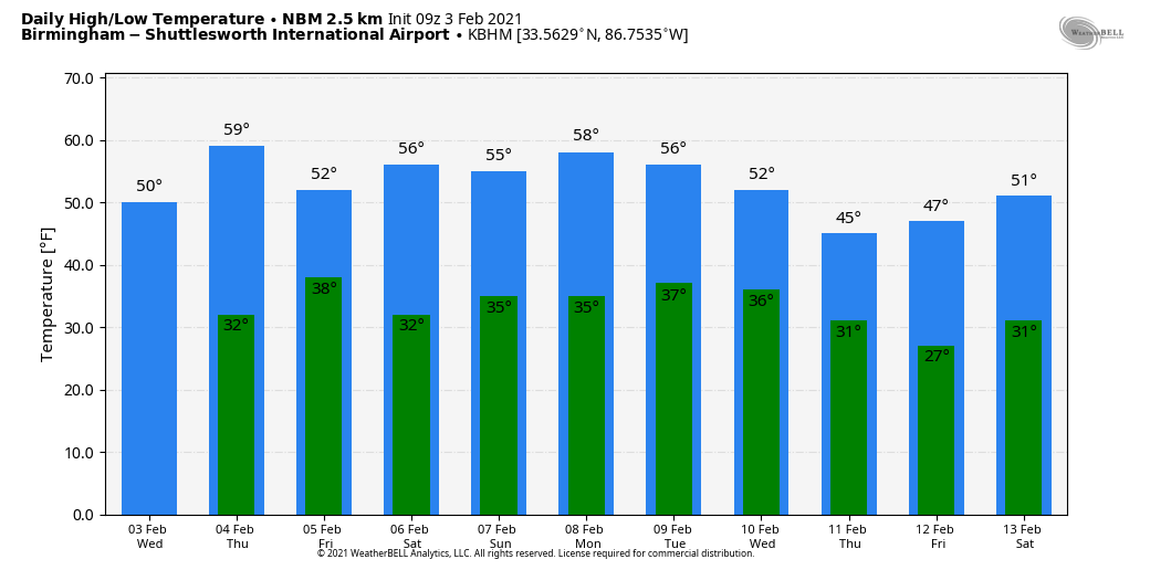
COLD START: Temperatures are mostly in the 20s across Alabama early this morning; even Gulf Shores is below freezing at daybreak with 31 degrees. The air remains very dry, and sunny weather continues today with a high around 50 degrees this afternoon. The average high for Birmingham on Feb. 3 is 56. Tonight will be mostly fair; another freeze is likely early Thursday morning.
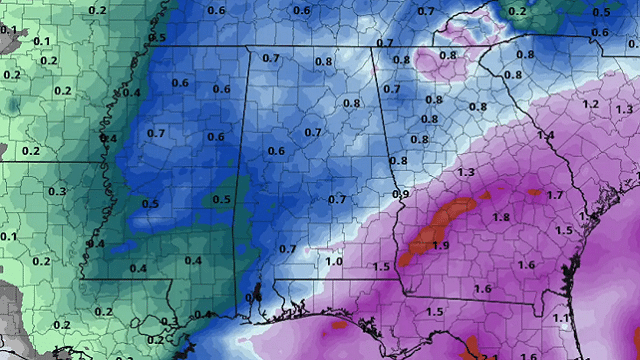
RAIN RETURNS: The sky becomes mostly cloudy Thursday ahead of a cold front, and rain is likely Thursday night. Most of the rain comes from about 7 p.m. Thursday through 6 a.m. Friday, and amounts should be one-half inch or less with no severe weather threat and probably no thunder. The sky becomes partly to mostly sunny Friday as dry air returns. Temperatures warm into the low to mid 60s Thursday; Friday’s high will be about 10 degrees cooler following the front.
THE ALABAMA WEEKEND: Saturday will be dry with a mix of sun and clouds; the high will be in the mid 50s for most communities. The next wave will bring a good chance of light rain to the state Saturday night; there is some chance a few snowflakes could mix in with the rain early Sunday morning before it ends over far north Alabama, but if that happens no impact is expected with surface temperatures above freezing. Much of the day Sunday looks dry with intervals of sun possible by afternoon. The high Sunday will be between 50 and 55 degrees as new model data continues the trend of holding the cold Arctic air north of Alabama.
NEXT WEEK: Monday looks dry with a high in the 50s; the bitterly cold Arctic air earlier advertised by the models is now off the table for Alabama. Forecast confidence for the rest of the week is not high as a series of waves will bring the chance of some scattered light precipitation from time to time. There is evidence much colder air will creep into the state over the latter half of the week. We will have better clarity in coming days.
ON THIS DATE IN 1947: The record-low temperature for continental North America was recorded in Snag in the Yukon Territory, Canada. The temperature was 81.4 degrees below zero.
BEACH FORECAST: Click here to see the AlabamaWx Beach Forecast Center page.
WEATHER BRAINS: You can listen to our weekly 90-minute show anytime on your favorite podcast app. This is the show all about weather featuring many familiar voices, including the meteorologists at ABC 33/40.
CONNECT: You can find me on all of the major social networks:
For more weather news and information from James Spann and his team, visit AlabamaWx.


