James Spann: Spring-like Tuesday ahead for Alabama; much colder this weekend
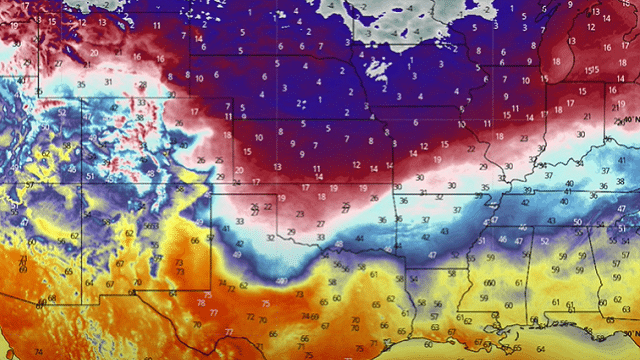
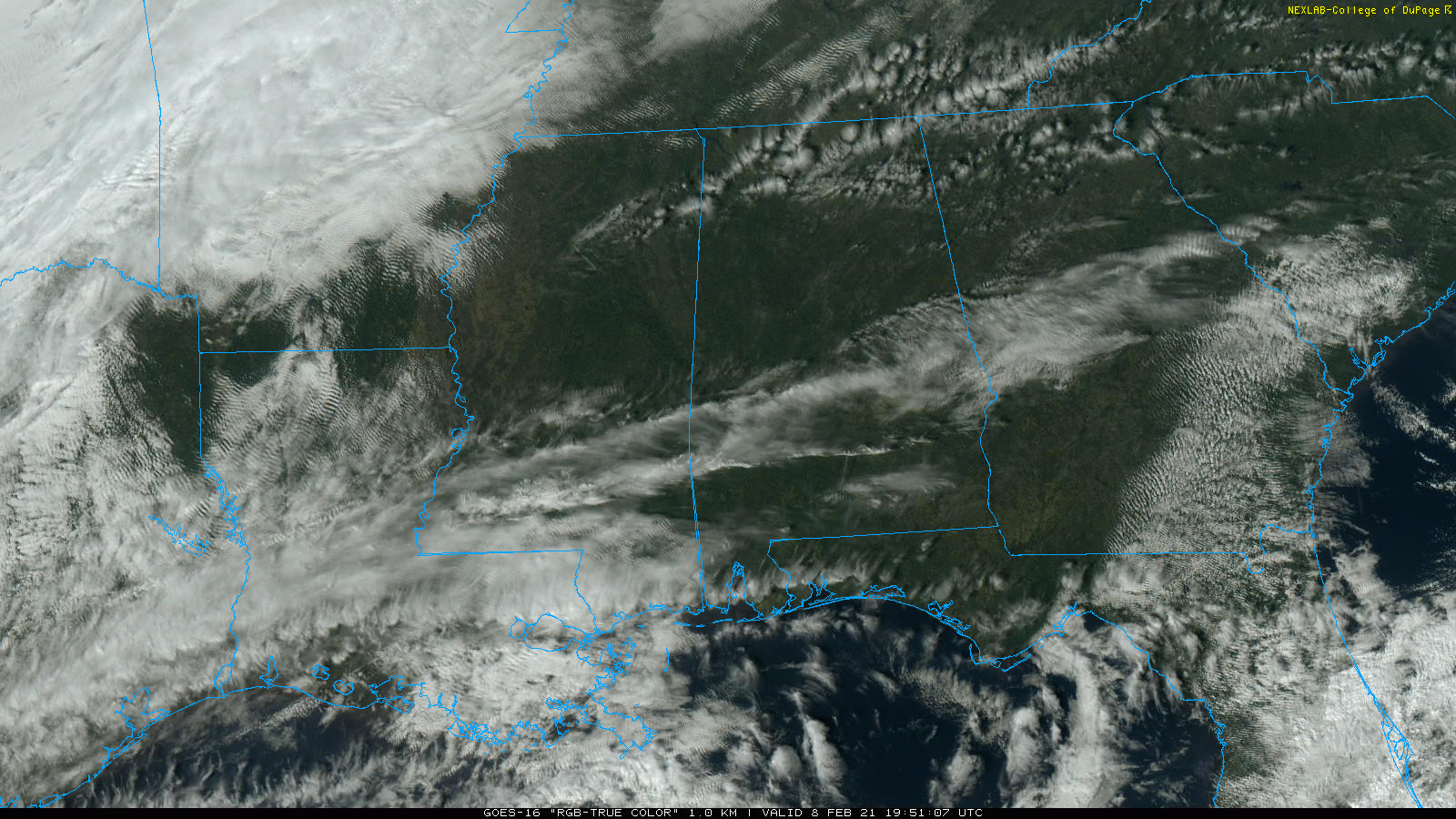
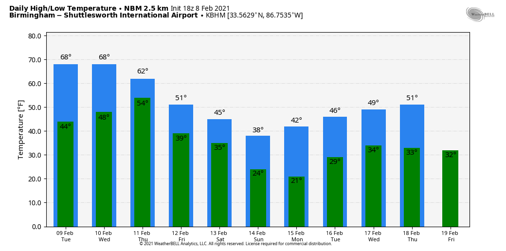
MARVELOUS MONDAY: Most of Alabama is enjoying a good supply of sunshine this afternoon with temperatures in the 50s over the northern counties and 60s to the south. Tonight will be mostly fair with a low in the 40s; clouds could thicken toward daybreak.
Tuesday will feel more like spring; we expect a high between 66 and 71 degrees with a mix of sun and clouds. Wednesday will be just as mild, but the sky will be mostly cloudy and scattered showers are possible as moisture begins to increase. On Thursday, rain and a few thunderstorms are likely statewide ahead of the Arctic front, which will be slowly approaching from the north. A few strong storms will be possible over south Alabama, but for now severe storms are not expected. Rain amounts from late Wednesday night through Thursday will be around 1 inch for most communities.
FRIDAY AND THE WEEKEND: A shallow layer of cold air will ease into north Alabama Friday; it will be tough to get out of the 30s over the Tennessee Valley. Highs will be in the 40s for the central counties, with 50s for south Alabama. The sky will be mostly cloudy, and showers are possible near the front over the southern quarter of the state.
Saturday looks cold and mostly dry for north Alabama; temperatures will struggle to get out of the 30s with a cloudy sky. A few showers are still possible over south Alabama. Some light precipitation is possible statewide Saturday night, and a huge spread continues between global models as they struggle with this pattern. Some freezing rain and icing is not totally out of the question, but we aren’t “all in” on that idea just yet.
The best-case scenario is some cold rain for the southern half of the state, with cloudy, cold and dry conditions for the northern counties Saturday night. Worst case is three to six hours of freezing rain, which would coat exposed objects with ice and create very dangerous driving conditions (much like they are experiencing in Oklahoma today). We will lean toward the drier solution for north Alabama now, based on the reliable European global model, but forecast adjustments are likely as the weekend approaches.
Sunday looks cold and dry with temperatures potentially holding below freezing all day over the northern third of the state as the shallow layer of cold air is nudged southward again.
NEXT WEEK: Confidence remains low. The next wave will arrive Tuesday, and this could bring anything from a cold rain to a prolonged period of freezing rain with ice accumulation potential again. The latter half of the week looks cold and dry for now.
ON THIS DATE IN 2013: A nor’easter produced heavy snowfall over New England. Total snowfall in Boston reached 24.9 inches, the fifth-highest total ever recorded in the city. New York City officially recorded 11.4 inches of snow at Central Park, and Portland, Maine, set a record of 31.9 inches.
BEACH FORECAST: Click here to see the AlabamaWx Beach Forecast Center page.
WEATHER BRAINS: You can listen to our weekly 90-minute show anytime on your favorite podcast app. This is the show all about weather featuring many familiar voices, including the meteorologists at ABC 33/40.
CONNECT: You can find me on all of the major social networks:
For more weather news and information from James Spann and his team, visit AlabamaWx.


