James Spann: Rain returns to Alabama Thursday; colder Friday
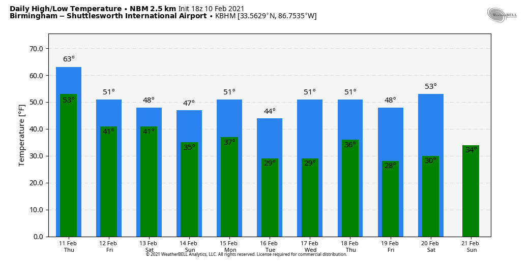
WINTER OR SPRING? Temperatures are in the 67- to 72-degree range across Alabama this afternoon with a good supply of sunshine over the northern half of the state. The average high for Birmingham on Feb. 10 is 57. For those asking, we are not close to a record. The record high for Birmingham on Feb. 10 is 80, set in 1932.
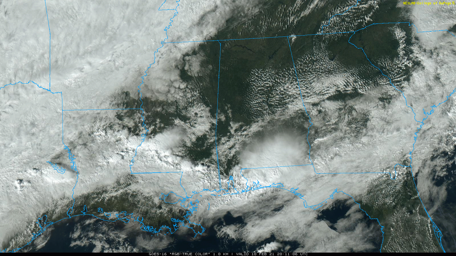
Showers and thunderstorms have developed this afternoon over the far southern part of the state.
Clouds thicken tonight and rain returns to the state Thursday with potential for a few embedded thunderstorms. The high will be in the 50s over the northern third of the state, with 60s to the south. On Friday, the day will be cloudy and colder with some light rain still possible, especially over central and south Alabama. Some communities near the Tennessee border could hold in the 30s all day; otherwise highs will be 40s over the northern counties, with 50s for south Alabama.
TO THE NORTH: A major ice storm is likely in a broad zone from central and east Arkansas through west Tennessee and into Kentucky. Freezing rain will bring enough ice accumulation for major travel disruptions and power outages.
THE ALABAMA WEEKEND: Rain is likely statewide Friday night into Saturday morning. It will be a close call for freezing rain potential for the northwest corner of the state, but for now we are forecasting a cold rain there. Saturday afternoon will be dry, but clouds linger. Highs Saturday will be in the 30s near the Tennessee state line, 40s for places like Tuscaloosa, Birmingham, Anniston and Gadsden, and 50s for the southern counties. Sunday will be dry with some sun possible; temperatures will be similar to those we experience Saturday.
NEXT WEEK: Yet another wave comes along in the southern branch of the jet stream, and will bring lots of rain to the state late Monday and Monday night. There is some chance the rain could briefly change over to freezing rain or sleet, maybe even a few snowflakes on the back side of the departing system before dawn Tuesday morning. It is too early to know exactly how the Monday night system will behave in this complex pattern; we will be much more specific by Friday and the weekend.
The next wave brings more rain next Thursday and Thursday night.
ON THIS DATE IN 1973: While north Alabama was dry, a major snow event unfolded for the southern half of the state, especially the southeast counties. Parts of southeast Alabama had 1 foot of snow; even Mobile had accumulating snow. Parts of Georgia and South Carolina had almost 2 feet.
ON THIS DATE IN 1981: A morning tornado at Bay Minette struck the local middle school. The school’s gymnasium was severely damaged and 62 people were hurt, 44 of whom were students.
BEACH FORECAST: Click here to see the AlabamaWx Beach Forecast Center page.
WEATHER BRAINS: You can listen to our weekly 90-minute show anytime on your favorite podcast app. This is the show all about weather featuring many familiar voices, including the meteorologists at ABC 33/40.
CONNECT: You can find me on all of the major social networks:
For more weather news and information from James Spann and his team, visit AlabamaWx.


