James Spann: Rain over south Alabama tonight, statewide Saturday
TROPICAL SOAKER AHEAD: A broad tropical low in the Gulf of Mexico (Potential Tropical Cyclone 3) has spread a large mass of rain onto the Gulf Coast this afternoon. Elsewhere across Alabama the sky is partly sunny with temperatures mostly between 87 and 90 degrees. Clouds will thicken tonight as the tropical low moves northward.
THE WEEKEND: The tropical low in the Gulf will move into Louisiana late tonight, and the remnant circulation will cut across central Alabama by Saturday evening. The low could be upgraded to Tropical Storm Claudette, but one way or another the impact will be the same.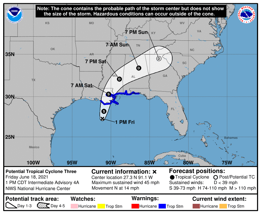
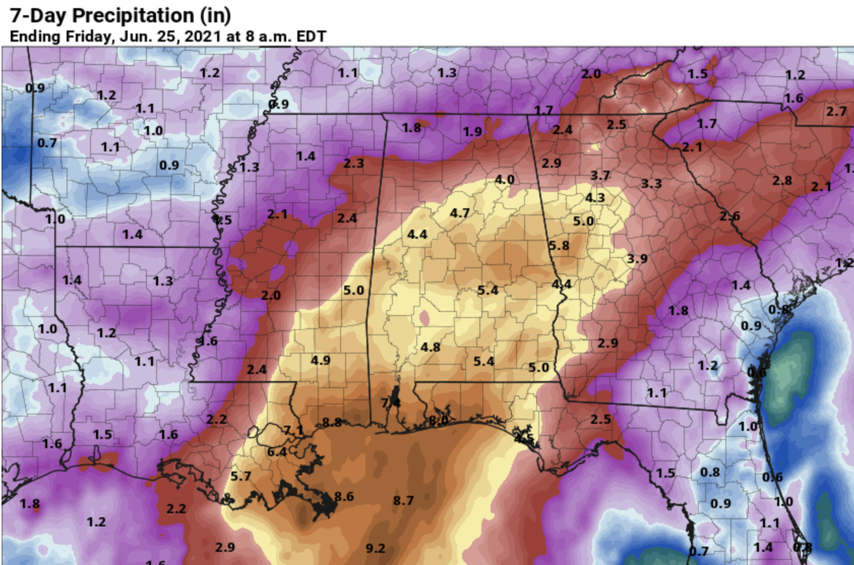
Rain will expand into the northern half of the state Saturday morning. Model data suggests the rain will arrive in Tuscaloosa, Birmingham and Anniston by 8 a.m. and over the Tennessee Valley by 11 a.m. Rain is likely statewide Saturday afternoon and night; it could be heavy at times, especially over the central and southern counties of the state. A Flash Flood Watch is in effect for areas along and south of I-20 (Tuscaloosa to Birmingham to Anniston). Rain amounts between now and Monday will be 3-5 inches in the Watch area, with potential for more than 5 inches across Mobile and Baldwin counties.
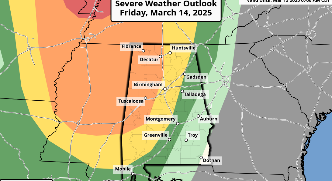
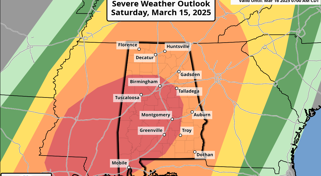
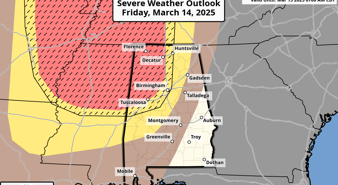
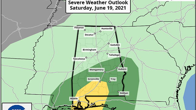
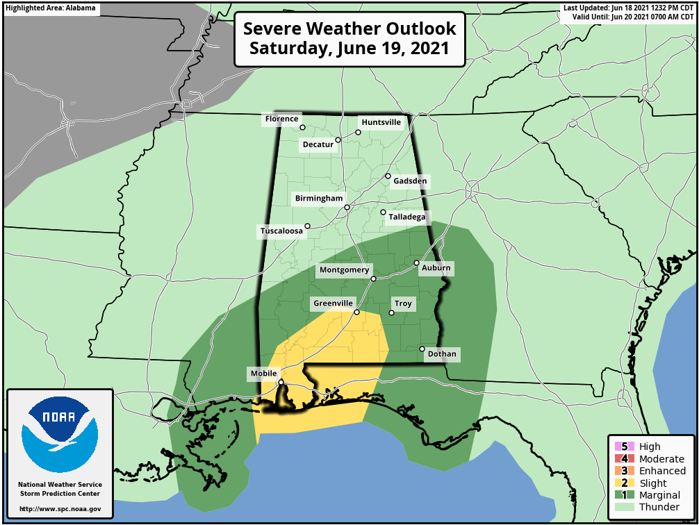
A few brief, isolated tornadoes are possible over the southern half of Alabama Saturday; the Storm Prediction Center now has defined a slight risk (level 2 out of 5) of severe thunderstorms from Monroeville, Greenville and Luverne down to the Gulf Coast. A marginal risk (level 1 of 5) extends as far north as Demopolis, Clanton and Roanoke.
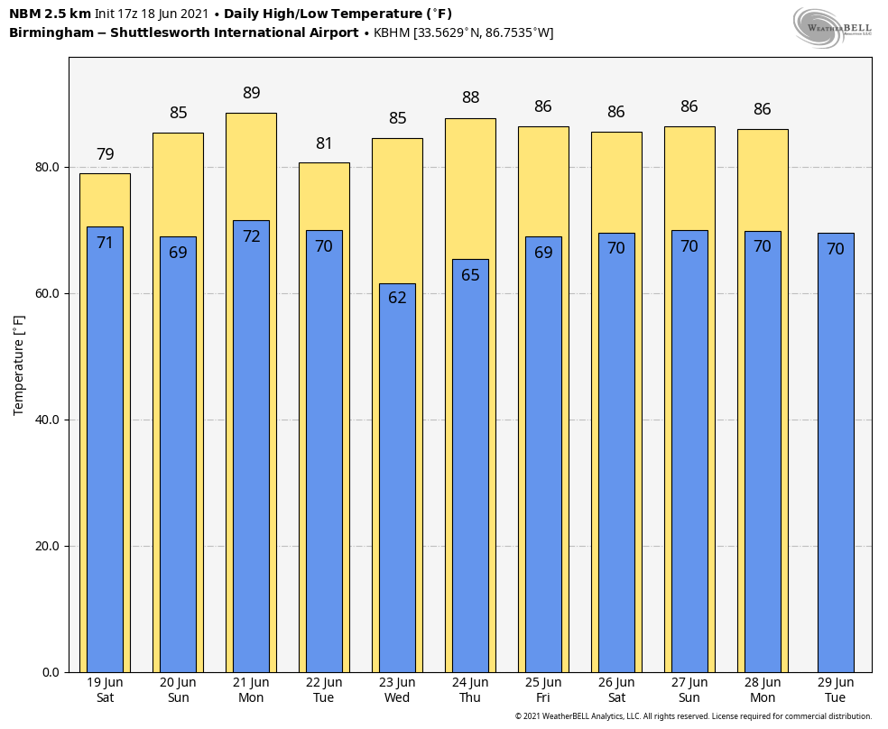
Keep in mind tornadoes associated with tropical systems are often low-topped and short-lived, and can easily get down without a warning, so be weather aware Saturday. Temperatures for most of the state won’t get out of the 70s due to clouds and rain.
The broad tropical low will move northeast of Alabama Sunday, but it will leave behind an air mass loaded with tropical moisture, and we expect scattered to numerous showers and thunderstorms, although the rain won’t be as widespread. Sunday’s high will be in the low 80s with only a very limited amount of sun.
COASTAL IMPACT: A Tropical Storm Warning is in effect from east of Morgan City, Louisiana, to the Okaloosa/Walton county line Florida. The combination of storm surge and the tide will cause normally dry areas near the coast to be flooded by rising waters moving inland from the shoreline. The storm surge is forecast at 2-3 feet for the Alabama Gulf Coast and Mobile Bay. Dangerous rip currents are likely through Sunday, and double red flags are flying along the coast this afternoon.
The weather will improve on the Gulf Coast Sunday and into next week, although scattered showers and storms will remain possible.
NEXT WEEK: A number of showers and storms are likely Monday ahead of a cold front; then drier air begins to move into north Alabama Tuesday. Much of the state will be in relatively dry air Wednesday and Thursday with few, if any, showers. Moisture begins to return on Friday, June 25.
TROPICS: Other than the system in the Gulf, the Atlantic basin is quiet, and additional tropical storm formation is not expected through the weekend.
ON THIS DATE IN 1972: Hurricane Agnes strengthened into a hurricane in the Gulf of Mexico. It made landfall in the eastern Florida Panhandle, and the remnants brought major flash flooding to much of the eastern U.S. The most significant effects, by far, occurred in Pennsylvania, mostly due to intense flooding. The hurricane severely flooded the Susquehanna River and the Lackawanna River, causing major damage to the Wilkes-Barre/Scranton metropolitan area. In both Pennsylvania and New Jersey combined, about 43,594 structures were either destroyed or significantly damaged. In Canada a mobile home was toppled, killing two people.
BEACH FORECAST: Click here to see the AlabamaWx Beach Forecast Center page.
WEATHER BRAINS: You can listen to our weekly 90-minute show any time on your favorite podcast app. This is the show all about weather featuring many familiar voices, including the meteorologists at ABC 33/40.
CONNECT: You can find me on the major social networks:
For more weather news and information from James Spann and his team, visit AlabamaWx.