Scott Martin: Alabama dries out but gets extremely hot
THURSDAY AND FRIDAY: Thursday will be very hot and humid with a good supply of sunshine. Drier air has worked into the mid-levels of the atmosphere, which will keep nearly everyone in Alabama dry today. Only a slight chance of an isolated shower or two will be possible along and south of a line from Demopolis to Montgomery to Hurtsboro. Afternoon highs will be in the mid to upper 90s.
The story will be nearly the same Friday as much of the state will be dry with plenty of sunshine and very hot temperatures. A few isolated showers may be possible east of I-65 and north of I-20. Highs will be in the upper 90s to right at or just over 100 degrees.
THE WEEKEND: On Saturday, moisture will start to move back into the mid-levels as a cold front begins to approach from the north. Skies will be mostly sunny, but we’ll have a chance for a few isolated showers and storms. Highs will be in the mid to upper 90s. Rain chances start to rise Sunday as the front starts to move in and stalls out over northern Alabama. We can expect a few scattered showers and storms during the afternoon, with highs reaching the mid-80s to the lower 90s.
THE FIRST HALF OF NEXT WEEK: Showers and thunderstorms become more likely Monday as the front continues to hang out over northern Alabama. Skies will be mostly cloudy and highs will be in the lower 80s to the lower 90s. The front finally starts to move southward Tuesday and will push much of the shower and thunderstorm activity over the southern half of the state. However, we still can’t rule out a few scattered showers and storms over the northern half. Highs will be in the mid to upper 80s. Wednesday looks like we return to more of the typical summertime weather we expect to see in Alabama — mostly sunny with a slight chance of a few isolated to scattered afternoon showers and storms. Highs will be in the mid to upper 80s.
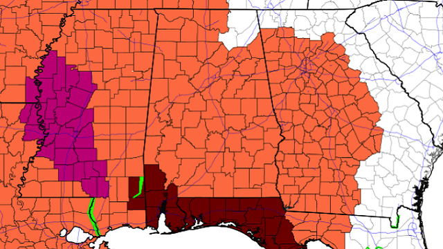
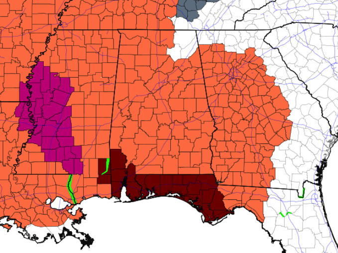
TROPICS: All is quiet across the Atlantic basin, and tropical cyclone formation is not expected within the next five days.
For more weather news and information from James Spann, Scott Martin and other members of the James Spann team, visit AlabamaWx.


