James Spann: Dry, calm pattern for Alabama for the next seven days
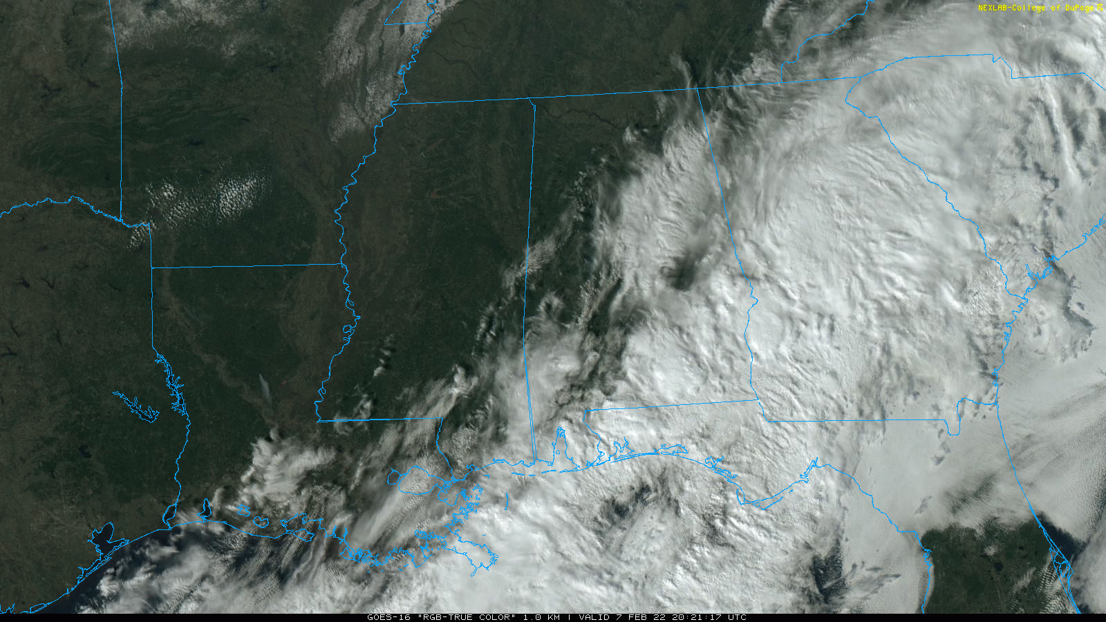
RADAR CHECK: Some light rain is falling this afternoon south of a line from Fairhope to Eufaula thanks to an approaching upper trough, but the rest of the state is dry with temperatures in the 50s. The sky is mostly sunny over the northwest counties, partly sunny over central Alabama and cloudy over the southern part of the state. Rain across southeast Alabama will end late tonight.
 REST OF THE WEEK: It is a dry forecast with sunny, pleasant days and fair, cool nights. The high will be in the mid 50s Tuesday, followed by low to mid 60s Wednesday through Friday.
THE ALABAMA WEEKEND: Saturday will be dry with a partly sunny sky; the high will be between 60 and 65 degrees for most communities. A cold front will pass through the state Saturday night in generally dry fashion; there might be a sprinkle or flurry somewhere, but moisture will be very limited and most places will see no precipitation at all. Sunday will be mostly sunny and cooler, with a high close to 50 degrees.
NEXT WEEK: The benign pattern continues Monday and Tuesday; temperatures will likely reach the 60s again by Wednesday. Some rain seems likely late Wednesday or Thursday ahead of the next cold front.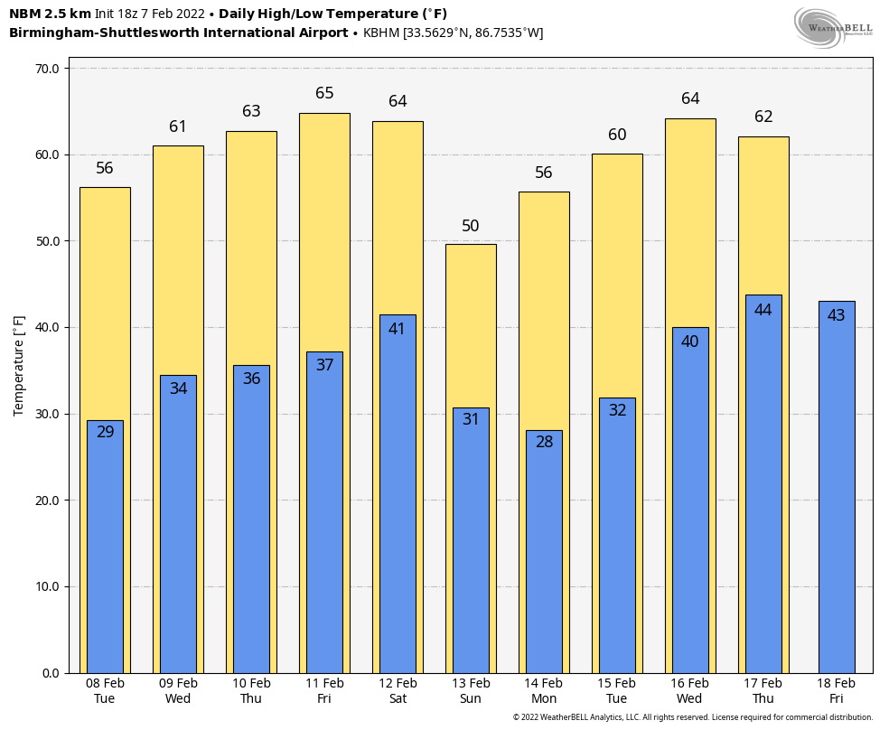 There’s still no sign of any high-impact snow or ice event for Alabama through the next 10 days.
STORM SURVEY RESULTS: A total of five tornadoes touched down in west Alabama last Thursday. Three of them were rated EF-2 from the same parent thunderstorm. One was south of York near the Kinterbish community of southern Sumter County. Another was in the Sawyerville community of Hale County, where one person was killed and eight others were injured. The third EF-2 was near the intersection of Hale, Bibb and Tuscaloosa counties in a rural part of the Talladega National Forest (Oakmulgee Division). Two brief EF-0 tornados were identified in Elmore County — one north of Millbrook and the other just west of the Lake Martin Dam.
ON THIS DATE IN 1812: The Hard Shock of the New Madrid Earthquake series struck the area around the small town of New Madrid, Missouri. A three-mile-long island completely sank. The Mississippi River ran backward. This major shock marked the beginning of the end of New Madrid’s extended ordeal, even though aftershocks would continue to be felt for years and the fault is still active.
ON THIS DATE IN 1933: The USS Ramapo, a 478-foot Navy oiler, was traveling from Manila to San Diego when it encountered the tallest rogue wave ever recorded. The wave measured 112 feet in height and was caused by 70 mph winds over a broad fetch of the ocean.
BEACH FORECAST: Click here to see the AlabamaWx Beach Forecast Center page.
WEATHER BRAINS: You can listen to our weekly 90-minute show any time on your favorite podcast app. This is the show all about weather featuring many familiar voices, including the meteorologists at ABC 33/40.
CONNECT: You can find me on the major social networks:
For more weather news and information from James Spann and his team, visit AlabamaWx.


