James Spann: Higher coverage of storms today over south Alabama
James Spann explains why rain chances will be higher in south Alabama today from Alabama NewsCenter on Vimeo.
RADAR CHECK: Rain and storms are active early this morning over parts of east Alabama in a broad zone from near Montgomery to Phenix City. Some flooding is very possible in this part of the state as the storms are nearly stationary; flash flood warnings were issued for parts of Lee and Russell counties before dawn.
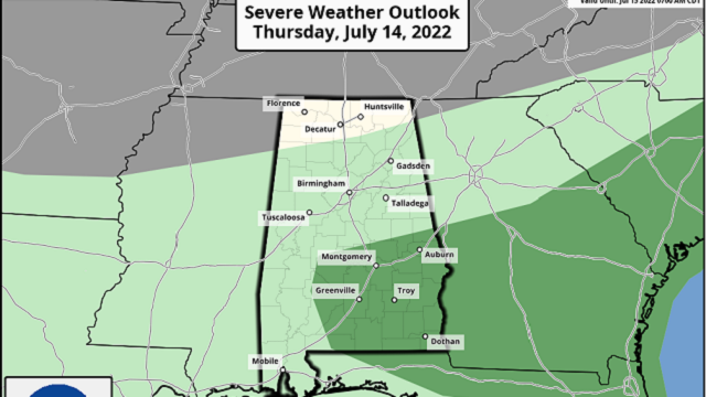
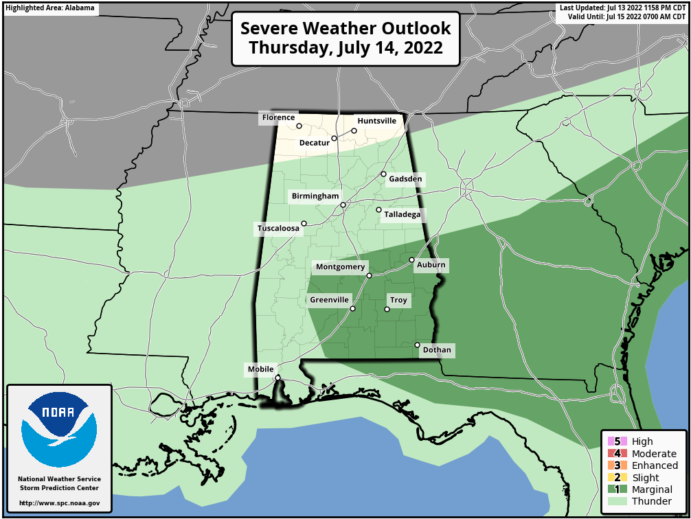
Showers and thunderstorms will be most active today over the southern half of the state; the Storm Prediction Center maintains a marginal risk (level 1 out of 5) of severe storms for parts of southeast Alabama due to the potential for strong winds.
Showers today over the northern counties, where the air is drier, will be pretty isolated. Look for a high not too far from 90 degrees in most places this afternoon.
FRIDAY AND THE WEEKEND: We are expecting highs mostly in the low 90s, right at seasonal averages. Look for partly sunny days with only isolated showers over north Alabama and a few spotty afternoon thunderstorms over the southern counties of the state.
NEXT WEEK: We are forecasting pretty routine midsummer weather next week — partly sunny days with a few random, scattered showers and storms during the afternoons and evenings, mostly between 2 and 10 p.m. Highs will be between 90 and 94 degrees most days.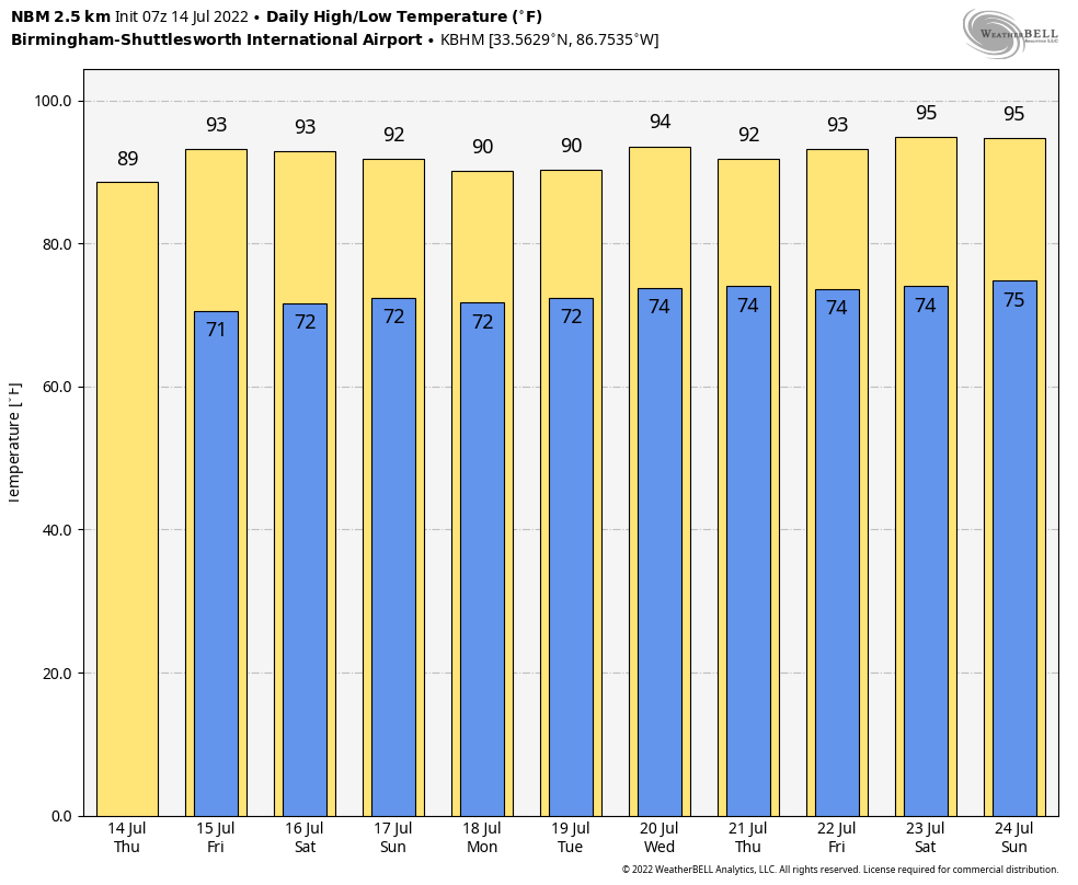 TROPICS: All remains very quiet across the Atlantic basin, and tropical storm formation is not expected through next week. The next names on the list this year are Danielle, Earl and Fiona.
ON THIS DATE IN 1995: Thunderstorms producing severe weather were occurring over upper Michigan and adjacent portions of Ontario near Sault Saint Marie. By late evening the storms had evolved into a bowing line just northwest of the Mackinac Bridge. At 10:17 p.m. EDT, the thunderstorm gust front hit the bridge, and a gust to 90 mph was measured. Sustained winds of 80 mph continued on the bridge for 10 more minutes. Thus began the intense Ontario-Adirondacks Derecho that would cause hundreds of millions of dollars’ worth of damage, several deaths and many injuries as it raced southeast from the northern Great Lakes to the Atlantic coast.
BEACH FORECAST: Click here to see the AlabamaWx Beach Forecast Center page.
For more weather news and information from James Spann and his team, visit AlabamaWx.


