James Spann: Very windy Friday ahead for Alabama, with severe storms possible in the morning
RADAR CHECK: Rain is fairly widespread over the northern half of Alabama this afternoon with temperatures between 57 and 65 degrees. South Alabama is drier and warmer with only isolated showers. To the west, a significant severe weather event is likely across the ArkLaTex region this evening and tonight thanks to a very dynamic weather system over Texas, and those storms will push into Alabama Friday morning.
Winds will increase after midnight ahead of the storms with some rain at times.
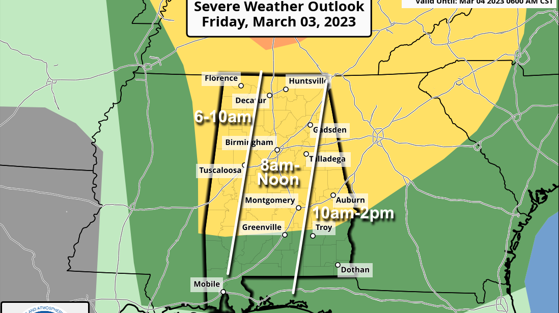
FRIDAY: A fast-moving line of strong to severe thunderstorms will roll through the state during the morning. Thankfully the line will be coming through when the air is most stable, but despite the limited instability, dynamic support will be very strong. The Storm Prediction Center has defined a slight risk (level 2 out of 5) of severe storms for the northern two-thirds of the state, with a marginal risk (level 1) south of a line from Thomasville to Greenville to Eufaula.
The line will race through the state in the 6 a.m.-2 p.m. time frame, and the main threat will come from strong, potentially damaging wind. An isolated tornado or two is possible as well. In addition to convective winds from storms, pressure gradient winds will be very strong, averaging 25-35 mph with gusts to 45-50 mph in spots.
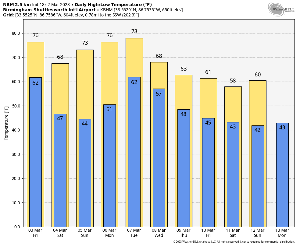
The wind Friday morning will likely bring down some trees, and power outages are likely. Be sure and pay attention to warnings, including severe thunderstorm warnings. A high wind warning has been issued for the Tennessee Valley for Friday, and a wind advisory is in effect for the rest of the state. Be sure and secure any loose objects on your property this afternoon or tonight. The sky will clear Friday afternoon with a high in the 70s; winds will begin to diminish by mid-afternoon.
THE ALABAMA WEEKEND: The weekend looks delightful, with sunny, pleasant days and clear, cool nights. The high will be between 65 and 75 degrees Saturday, followed by 70s Sunday. Lows will mostly be in the 40s, although colder spots could see mid to upper 30s early Sunday morning.
NEXT WEEK: Moisture levels rise, and showers are possible Monday across south Alabama. We will have a chance of showers statewide Tuesday and Wednesday. No severe storms are expected with limited upper-air support. Drier and slightly cooler air returns Thursday and Friday.
ON THIS DATE IN 1927: Raleigh, North Carolina, was buried under 17.8 inches of snow in 24 hours, a record for that location until Jan. 25, 2000, when Raleigh saw 17.9 inches of snow in 24 hours.
ON THIS DATE IN 2012: Four tornadoes touched down across central Alabama, including an EF-2 in Tallapoosa County that killed one person in a mobile home.
BEACH FORECAST: Click here to see the AlabamaWx Beach Forecast Center page.
For more weather news and information from James Spann and his team, visit AlabamaWx.


