James Spann: Active, stormy pattern continues for Alabama, the Deep South
James Spann says active weather will continue for Alabama through the weekend from Alabama News Center on Vimeo.
EARLY MORNING RADAR UPDATE: While most of Alabama is rain-free early this morning, the exception is Baldwin County, where flash flood warnings remain in effect for the southern part of the county. Serious flooding is ongoing in the Pensacola area, where radar suggests some places have seen 10-15 inches of rain since Thursday afternoon; a flash flood emergency is in effect there (parts of Escambia County, Florida).
We are also watching a mesoscale convective system rolling through central and south Mississippi; this will move into southwest Alabama later this morning with potential for damaging winds and hail. A severe thunderstorm watch is in effect for southwest Alabama until 10 a.m. This batch of storms should remain generally south of I-20 in Alabama.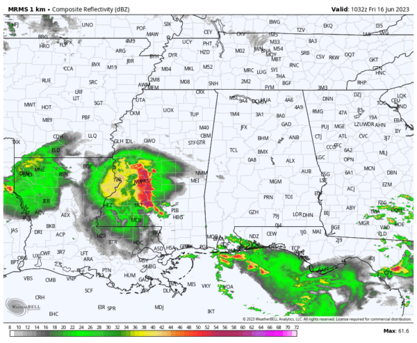
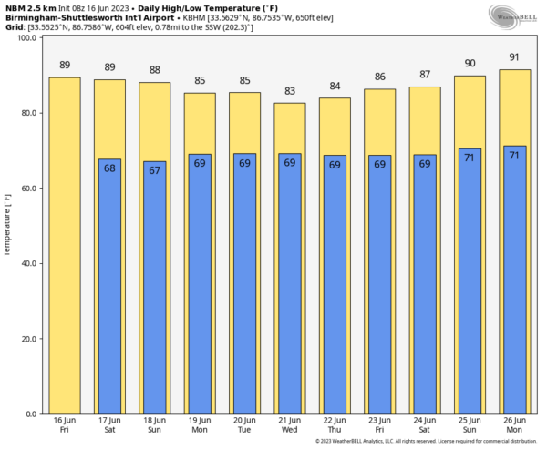
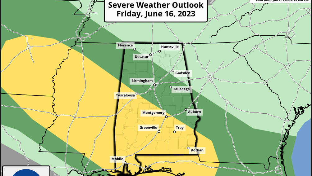
A few scattered thunderstorms will form this afternoon over the northern half of the state; those could be strong where they form. Otherwise, expect a day with a mix of sun and clouds and a high close to 90 degrees this afternoon.
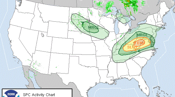
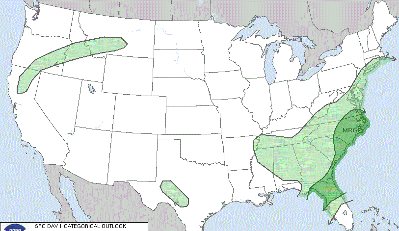
THE ALABAMA WEEKEND: Unsettled weather continues. We expect scattered to numerous showers and storms Saturday and Sunday across the state with highs in the 80s. The weekend won’t be a washout, and the sun will be out at times. But a few passing thunderstorms are likely, and they will be strong where they form. Much of the state is in a level 1 or 2 severe weather risk both days; the concerns are hail and strong winds.
NEXT WEEK: We will have a good chance of a few passing showers or thunderstorms daily with a mix of sun and clouds. Highs will hold in the 80s with a moisture-laden air mass in place and unusually strong upper winds over the region for mid-June.
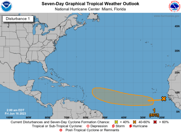
TROPICS: A tropical wave near the west coast of Africa is producing disorganized showers and thunderstorms. Environmental conditions appear to be conducive for gradual development, and a tropical depression could form during the early to middle portions of next week while the system moves westward at 15 to 20 mph across the eastern and central tropical Atlantic. This is far from the U.S. and just something to watch for now.
ON THIS DATE IN 1972: Agnes was first named by the National Hurricane Center. It would go on to make landfall between Panama City and Apalachicola, Florida, on the afternoon of June 19. Hurricane Agnes would later cause catastrophic flooding in the mid-Atlantic states, especially Pennsylvania. The hurricane caused more than 100 fatalities.
For more weather news and information from James Spann and his team, visit AlabamaWx.
