James Spann: Sizzling summer days ahead for Alabama, the Deep South
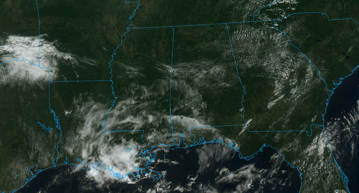
QUIET AFTERNOON: All 67 Alabama counties are rain-free this afternoon under a mostly sunny sky. Temperatures are mostly in the low 90s, not too far from average for late June. A few scattered storms could still fire this evening, mainly over the southeast corner of the state, where the Storm Prediction Center maintains a low-end, marginal risk (level 1 out of 5) of severe thunderstorms. Most communities will be dry tonight with a low between 67 and 72 degrees.
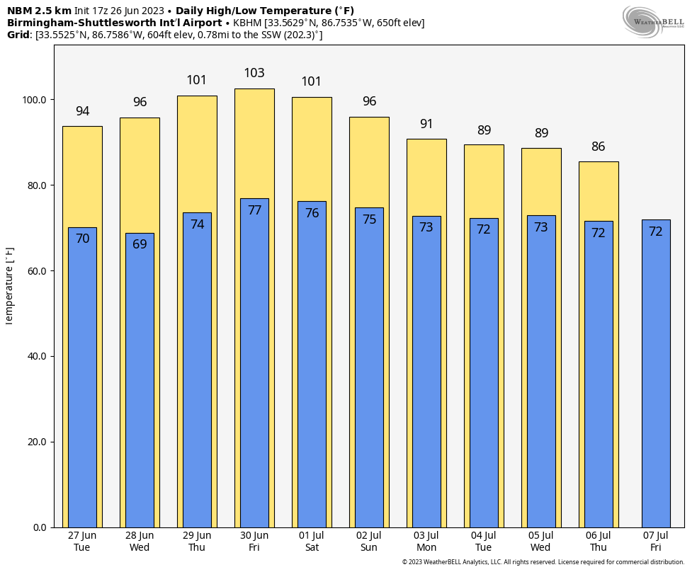
REST OF THE WEEK: While you can never rule out a pop-up shower or storm on a hot summer afternoon in Alabama, most places will be dry through Thursday with rising heat levels. Highs will hold in the mid 90s Tuesday and Wednesday, followed by upper 90s Thursday and Friday. Some spots could touch the 100-degree mark, and with high humidity, heat index values will be well over 100. Heat advisories will be needed for most of Alabama and the Deep South.
I don’t like to insult your intelligence by giving heat tips like “go into an air-conditioned room” and “stay out of the sun during the hottest part of the day.” This is summer in Alabama, and I know you know how to cool down. You don’t need some guy on TV or social media telling you that.
But some people have to work outdoors, and heat exhaustion and heat stroke are serious. Heat stroke is the most serious heat-related illness. It occurs when the body can no longer control its temperature; the body’s temperature rises rapidly, the sweating mechanism fails and the body is unable to cool down. When heat stroke occurs, the body temperature can rise to 106 degrees or higher within 10 to 15 minutes. Just use common sense and take care of yourself as the heat cranks up this week.
Afternoon storms could be a little more numerous Friday as moisture levels rise a bit and the intense heat makes the air unstable.
THE ALABAMA WEEKEND AND NEXT WEEK: Some will be taking a four-day weekend with the Fourth of July falling on Tuesday. While Saturday and Sunday will be hot, heat levels will be slowly falling, and by next week highs will drop into the 87- to 91-degree range, much more tolerable. We will have scattered, random showers and thunderstorms during the afternoons and evenings, mostly in the 2-9 p.m. time frame.
TROPICS: A surface trough of low pressure, associated with the remnants of Cindy, is producing disorganized showers and thunderstorms more than 500 miles south-southeast of Bermuda. While strong upper-level winds are expected to prevent redevelopment of this system over the next couple of days, environmental conditions could then become a little more favorable for some gradual redevelopment during the latter part of this week. This system is forecast to move generally northward into the northwestern Atlantic Ocean, passing near Bermuda on Thursday. It’s no threat to the U.S.
The rest of the Atlantic basin, including the Gulf of Mexico, is quiet.
ON THIS DATE IN 1986: Hurricane Bonnie made landfall on the upper Texas coast. A wind gust to 98 mph occurred at Sea Rim State Park. Ace, Texas, recorded 13 inches of rain.
For more weather news and information from James Spann and his team, visit AlabamaWx.


