James Spann: A few showers for Alabama late Thursday
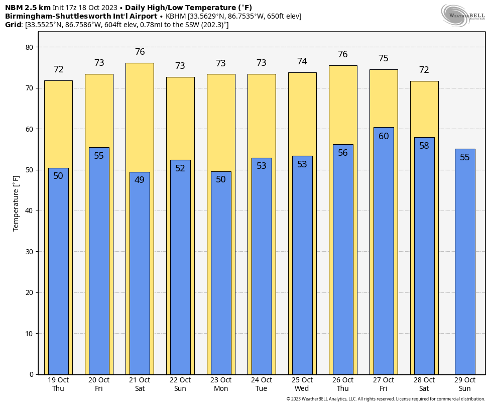
BLUE SKY: We have sunshine in full force across Alabama today with temperatures mostly in the 70s at midafternoon. Tonight will be mostly fair with a low between 44 and 52 degrees.
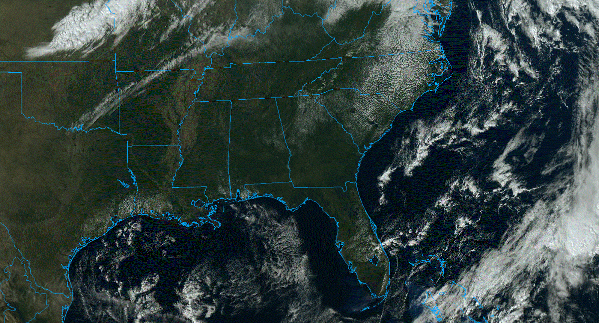
THURSDAY/FRIDAY: Clouds will increase across Alabama Thursday, and we will mention a chance of showers Thursday afternoon and night ahead of a cold front. Moisture will be limited and dynamic support weak, meaning rain amounts will be light and spotty. Most places will see less than a quarter-inch, and some communities won’t get enough rain to measure.
Showers end Friday morning, and a new surge of dry air will punch into the state Friday afternoon with a clearing sky. Highs remain in the low to mid 70s.
THE ALABAMA WEEKEND: Look for sunny, mild days and clear, cool nights over the weekend. Highs remain in the 70s, with lows in the 40s and 50s. Perfect autumn weather.
NEXT WEEK: The weather stays dry for much of the week with highs holding in the 70s.
 TROPICS: Recent visible satellite images indicate that the circulation associated with an area of low pressure about 700 miles east of the Windward Islands is gradually becoming better defined. In addition, the associated shower and thunderstorm activity is becoming more organized, and satellite-derived wind data indicated that the system is already producing winds to tropical storm force. Continued development is anticipated, and a tropical storm is expected to form later today or tonight while moving westward or west-northwestward toward the Lesser Antilles.
Interests in the Lesser Antilles should continue to monitor the progress of the disturbance. Advisories may be initiated on this system as early as later this afternoon and could include the issuance of watches for some of the islands. Regardless of development, this system has the potential to bring gusty winds, heavy rainfall and flash flooding to portions of the Lesser Antilles beginning Friday.
The system will turn north, heading out to sea well east of the contiguous United States. The National Hurricane Center gives it a 90% chance of development.
FOOTBALL WEATHER: For the high school games Friday night, we expect a clearing sky with temperatures falling from near 65 at kickoff into the upper 50s by the final whistle.
Saturday, UAB will host Memphis at Protective Stadium in downtown Birmingham (11 a.m. kickoff). The sky will be sunny with temperatures rising from near 68 at kickoff to around 72 degrees by the fourth quarter.
Alabama hosts Tennessee at Bryant-Denny Stadium in Tuscaloosa (2:30 p.m. kickoff). It will be a fine fall afternoon with temperatures in the low to mid 70s.
Auburn will host Ole Miss (6 p.m. kickoff) at Jordan-Hare Stadium. Expect a clear sky with temperatures falling from near 70 at kickoff into the low 60s by the final whistle.
ON THIS DATE IN 1916: A tropical depression organized to a tropical storm on Oct. 11 in the western Caribbean. It moved westward, reaching hurricane strength on Oct. 13 before hitting the Yucatán Peninsula on Oct. 15 as a 110-mph hurricane. It weakened over land and emerged over the southern Gulf of Mexico as a tropical storm. It quickly restrengthened to a Category 3 hurricane, hitting Pensacola on Oct. 18. The maximum wind velocity at Mobile was 115 mph from the east at 8:25 a.m. Pensacola had winds of 120 mph at 10:13 a.m. when the wind instrument tower was blown down.
ON THIS DATE IN 2007: A destructive fall tornado hit Nappanee, Indiana, causing extensive damage along its 20-mile path across northeast Marshall, northwest Kosciusko and southwest Elkhart counties. High-end EF3-intensity winds near 165 mph were estimated based on the most severe damage over southeast Nappanee. More than 100 structures sustained significant damage or were destroyed in town alone. Despite the widespread damage and time of day, only minor injuries were reported.
For more weather news and information from James Spann and his team, visit AlabamaWx.


