James Spann: Alabama stays mostly dry through Friday
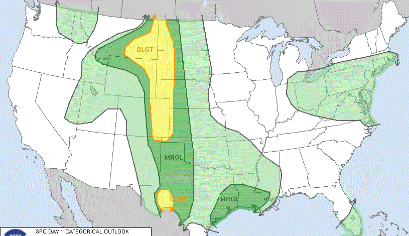
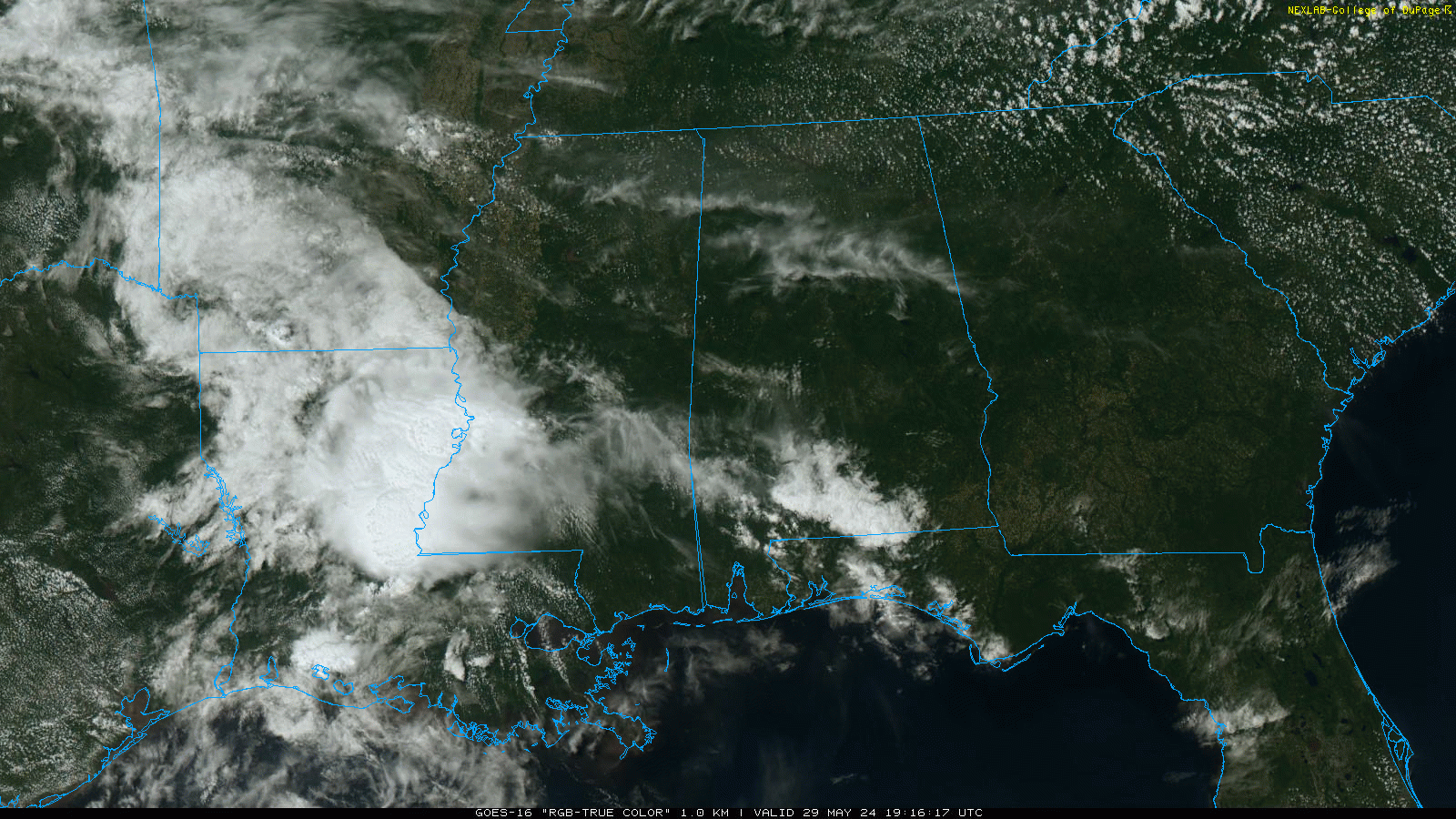
RADAR CHECK: Most of Alabama is dry this afternoon with a good supply of sunshine. We note a few small, isolated showers over the far southern counties of the state. Some clouds will move into the state tonight, and a few scattered showers are possible over the southern half of the state after midnight and during the day Thursday.
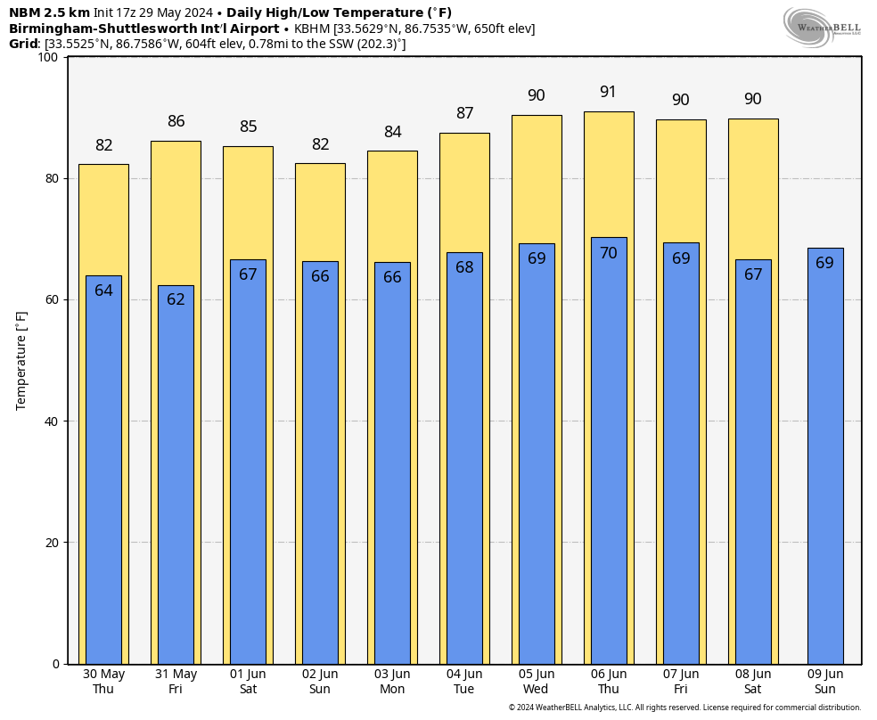
North Alabama looks generally dry Thursday, and Friday should be dry statewide. The highs will be between 80 and 85 degrees Thursday and generally in the mid 80s Friday.
THE WEEKEND: Moisture levels rise, and we will bring in the chance of a few scattered showers and thunderstorms both days. The chance of any one spot getting wet both days is 40-45%, and most of the showers will come during the afternoons and evenings, very typical weather for early June in Alabama. There will be a mix of sun and clouds with highs in the mid 80s.
NEXT WEEK: The classic summer pattern continues: partly sunny days with scattered, mostly afternoon and evening showers and thunderstorms daily. Highs will be mostly in the 80s, although we will be close to 90 by Thursday and Friday.
TROPICS: The Atlantic basin is quiet; tropical storm formation is not expected for the next seven days. The Atlantic basin hurricane season begins Saturday.
ON THIS DATE IN 1982: Two significant tornadoes ripped through southern Illinois. The most severe was an F4 that touched down northeast of Carbondale, Illinois, then moved to Marion. The twister had multiple vortices within the main funnel. Extensive damage occurred at the Marion Airport. Ten people were killed and 181 were injured.
For more weather news and information from James Spann and his team, visit AlabamaWx.


