Scott Martin: Hot end for the Alabama work week
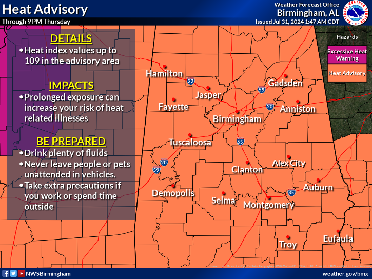
HOT IS THE WORD: High pressure continues to dominate our weather today, and we’ll continue to have scorching heat in place. A few isolated to scattered showers and storms are possible, mainly south of I-59. Otherwise, skies will be mostly sunny with highs in the mid to upper 90s and heat indices of 105-110 degrees. Heat advisories have been issued for today.
Clouds will begin to increase ahead of an approaching front on Friday, but weather will stay about the same: hot and humid, with a few scattered afternoon showers and storms possible and highs in the mid to upper 90s.
THE ALABAMA WEEKEND: Rain chances go up for Saturday afternoon as the front enters and begins to move through Alabama. Scattered storms will be possible for the northern half of the state and more likely over the south. Highs will be a little lower, reaching the upper 80s to the mid 90s.
The front washes out over southern Alabama on Sunday and will weaken. Much of the state will be dry, but a few scattered showers and storms will remain possible during the afternoon. High will be in the lower to mid 90s.
NEXT WEEK: Monday is when the weather will get interesting for us in the Southeast. A yet-to-be-developed tropical system over the southwestern Atlantic Ocean will have made it into the Gulf of Mexico and may be causing some rough conditions along the coast. A few scattered showers will be possible over the far southeastern counties, while the rest look to stay dry. Highs will be throughout the 90s.
Little movement is projected in that system on Tuesday, so it will be mainly dry and hot, with scattered showers possible over southeast Alabama. Highs will be in the 90s.
The rain field looks to expand on Wednesday, and scattered showers look possible, mainly south of I-59. Highs will be in the 90s.
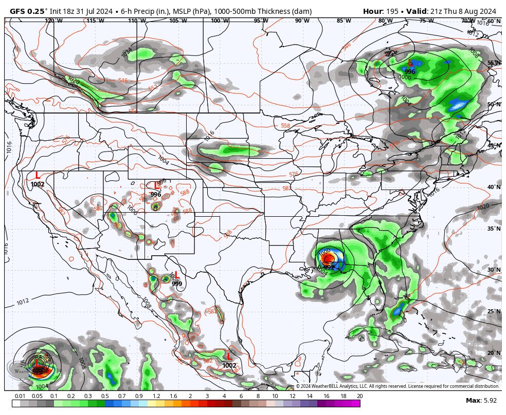
At this point, it looks like the system makes landfall next Thursday and moves up into Alabama. If this actually takes place, rain and storms will be likely, and we may even see a few tropical-type severe storms east of I-65 and south of I-59. By Friday afternoon, the system looks to be over central Mississippi, but we may continue to have rain and storms at times, with the possibility of a few severe storms west of I-65. But it’s early, and these ideas could change.
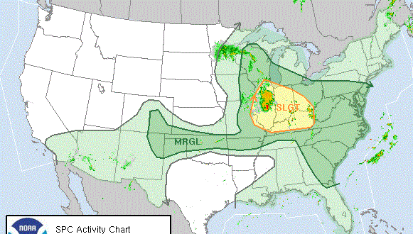
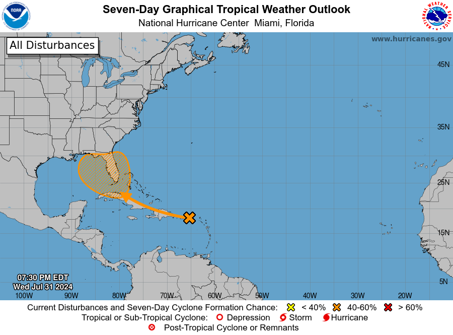
TROPICS: A tropical wave is producing a large area of disorganized showers and thunderstorms over Puerto Rico, the Virgin Islands, the Leeward Islands and the adjacent waters of the southwestern Atlantic and northeastern Caribbean Sea. While development of this system is not anticipated over the next few days as it moves west-northwestward over portions of the Greater Antilles, environmental conditions are forecast to become more conducive for development after that. A tropical depression could form this weekend or early next week over the eastern Gulf of Mexico or the far southwestern Atlantic Ocean, including in the vicinity of Florida. The formation chance through seven days is 60%.
ON THIS DATE IN 1989: Hurricane Chantal made landfall along the upper Texas coast about sunrise. Chantal deluged parts of Galveston Island and southeastern Texas with 8 to 12 inches of rain. Unofficial totals ranged up to 20 inches. Winds gusted to 82 mph at Galveston and reached 76 mph in the Houston area. Tides were 5 to 7 feet high. The hurricane claimed two lives and caused $100 million damage.
For more weather news and information from James Spann, Scott Martin and other members of the James Spann team, visit AlabamaWx.


