James Spann: Dry weekend ahead for Alabama after a few isolated showers Thursday
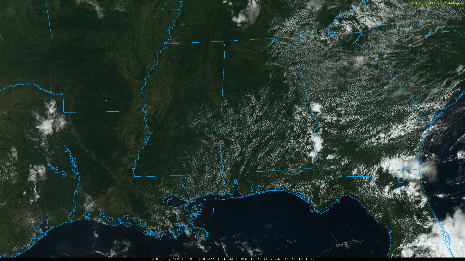
RADAR CHECK: Most of Alabama is rain-free this afternoon with a mostly sunny sky, but we do note a few small showers over Henry County in the southeast corner of the state. Those won’t last long; tonight will be mostly fair with lows in the 60s over the northern counties and low 70s to the south.
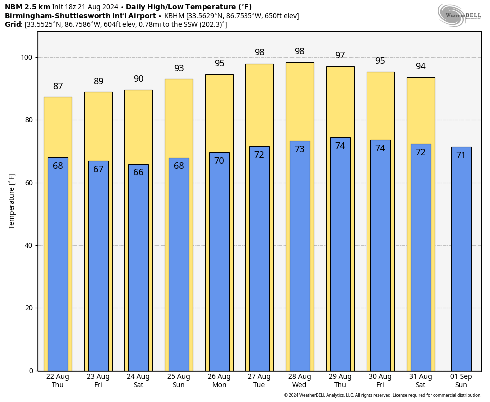
FRIDAY AND THE WEEKEND: The weather looks mostly dry with slowly rising heat levels; highs will be in the 90s Saturday and Sunday. Lows stay in the 60s over north Alabama, so mornings will remain fairly pleasant.
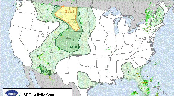
NEXT WEEK: An upper ridge will strengthen across the Deep South, meaning hot, mostly dry weather. A few isolated showers or storms could show up late in the week, but we still see no evidence of anything widespread. Highs rise into the upper 90s by midweek under the ridge.
MORNING LOWS: Here are some low temperatures across Alabama this morning:
- Cullman — 55
- Heflin — 55
- Gadsden — 56
- Carbon Hill — 56
- Arab — 57
- Haleyville — 57
- Huntsville — 58
- Hueytown — 59
- Talladega — 59
- Helena — 61
- Anniston — 61
- Muscle Shoals — 61
- Birmingham — 62
- Troy — 63
- Tuscaloosa — 65
- Mobile — 68
TROPICS: We are now in the climatological peak of the hurricane season (Aug. 20 through Oct. 10), but the Atlantic basin is very quiet and tropical storm formation is not expected at least for the next seven days.
ON THIS DATE IN 2021: Henri became a Category 1 hurricane in the Atlantic off the U.S. East Coast. It would make landfall the following day as a tropical storm at Westerly, Rhode Island, with maximum sustained winds of 60 mph. Despite its relatively weak intensity, the storm brought very heavy rainfall over the northeastern United States and New England, causing widespread flooding in many areas, including cities such as New York and Boston. Power outages became extensive in the region, while wind damage was sparse in comparison.
For more weather news and information from James Spann and his team, visit AlabamaWx.


