Scott Martin: Hot with scattered to numerous storms in Alabama this weekend
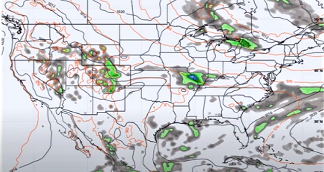
WEEKEND WEATHER: With the boundaries left over from the storms that formed last night along with an approaching cold front, convective development is likely across central Alabama during the main heating of the day today. Scattered to numerous showers and thunderstorms can be expected, some of which may be strong to marginally severe, with gusty winds being the main threat. Highs will be in the mid to upper 90s.
As troughing moves in, bringing the cold front along with it on Sunday, showers and storms will be likely again. Much of the activity will start in the north and will push southward throughout the afternoon. Again, a few strong to marginally severe storms will be possible. Highs will range from the lower 90s in the north to the mid and upper 90s in the south.
THE WORK WEEK AHEAD: Shower and thunderstorm chances will continue to stay elevated Monday as the front continues to hang out over northern Alabama. Skies will be mostly cloudy and highs will be in the 80s.
The front finally starts to move southward Tuesday and will push much of the shower and thunderstorm activity over the southern portions of the state. However, we still can’t rule out a few isolated showers and storms over the northern two-thirds of Alabama. Highs will be in the 80s.
Wednesday looks like we return to more of the typical summertime weather we expect to see in Alabama — mostly sunny with a slight chance of a few isolated to scattered afternoon showers and storms. Highs will be in the mid to upper 80s. Thursday and Friday will be pretty similar.
TROPICS: All is quiet across the Atlantic basin, and tropical cyclone formation is not expected within the next five days.
For more weather news and information from James Spann, Scott Martin and other members of the James Spann team, visit AlabamaWx.


