Brian Peters: Alabama weather will be a little less wild for the weekend
Brian Peters Alabama NewsCenter weekend forecast for December 26 from Alabama NewsCenter on Vimeo.
Christmas Day turned into a wild day for weather across Alabama with record heat, widespread flash flooding, and tornadoes. Birmingham (77), Anniston (78), and Tuscaloosa (80) set new record highs, most of the old records were set back in the 1980s. The last of the flash flood warnings issued yesterday for portions of East Central Alabama expired shortly after 7 am. And a survey team from the NWS will be out later today to survey the tornado damage in parts of Tuscaloosa and Jefferson counties.
Radar was almost clear this morning with only a couple of small echoes on radar in the vicinity of Jasper and just north of Fort Payne. We’ll see more clouds than sun today, but even with mostly cloudy skies, we are likely to establish new records for highs today as we remain in a warm pattern bringing air into the Southeast US from the Pacific and Gulf of Mexico. The records for today include 72 set in 1911 for Birmingham, 71 set in 1964 for Anniston, and 72 set in 2008 for Tuscaloosa. It’s generally not a good idea to forecast record highs or lows, but I feel pretty comfortable that these values will be replaced in the record books as our afternoon highs reach the middle 70s. Showers will be less prevalent today and again Sunday.
The warm weather will continue into Sunday with highs again in the lower and middle 70s along with the potential for scattered showers.
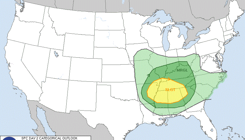
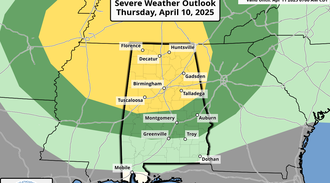
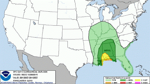
The big action is expected to occur on Monday as a very strong upper closed low comes out of the Southwest US across the Middle Mississippi River Valley on Monday. A deep surface low will track northeast just head of the upper low pushing a cold front across the Southeast US during the day Monday. The GFS and ECMWF appear to be in excellent agreement on the location and timing of the low and the front. The question will be whether or not we’ll get severe weather with the passage of this system. SPC is currently projecting a slight risk for severe storms over Southwest Alabama with that area surrounded by a marginal risk area. CAPE values (instability) along with helicity values (wind shear) appear to be sufficient so we’ll need to monitor Monday for yet another round of severe storms. Due to the heavy rain we’ve experienced during the last 24 hours, we’ll need to be evaluating the potential for additional flash flooding with the weather Monday.
From Tuesday through the end of the week, the weather pattern will undergo a gradual shift that will take us into a much colder weather pattern. A series of upper troughs will parade across the Central US so that by Friday and into next weekend the upper air pattern will finally be changed into a trough over the eastern US. This will take us out of the pattern that has brought us record warmth and throw us into a much cold pattern with a northwesterly flow coming into the Southeast US straight out of northwestern Canada. This will drop temperatures back a lot with lows in the 30s and highs in the 40s.
For beach goers, the weather will be warm and wet at times this week along the coast from Panama City Beach to Gulf Shores. The first part of the week will see highs in the 70s and lows in the 60s. Cooler weather comes for the latter half of the week. See the complete Gulf Coast 7 Day Planner here. The Gulf Coast Beach Forecast is presented by Gulf Shores Plantation by Mandoki Hospitality Vacation Rentals. Escape to Gulf Shores Plantation where memories last a lifetime.
Looking out into voodoo country, the GFS is suggesting a moderation to our pattern from the 5th through the 10th of January as the upper air pattern takes on a more zonal look. This should bring us out of the colder than typical weather for the first few days of January into an “about typical” pattern with highs in the lower 50s and low in the 30s.
Just a reminder that James Spann will be on vacation for the next week, so we will be following a one-a-day schedule into the first of 2016. Enjoy the day, and Godspeed.
-Brian-
For more weather news and information from Brian Peters and the rest of James Spann’s weather team, visit Alabama WX.


