James Spann: Arctic air invasion on the way to Alabama
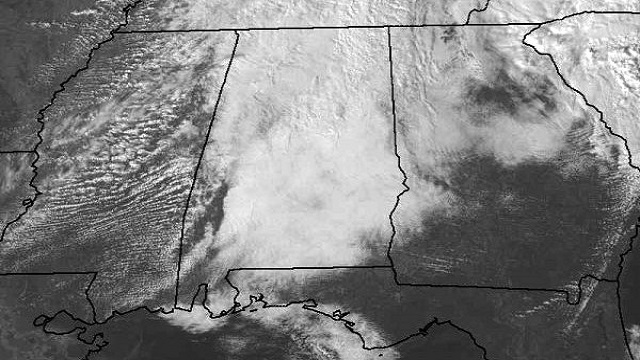
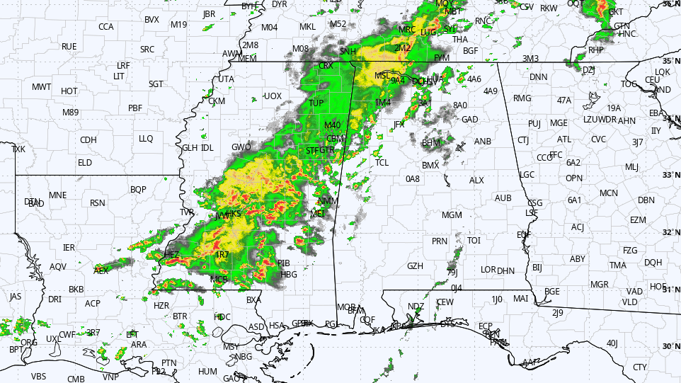
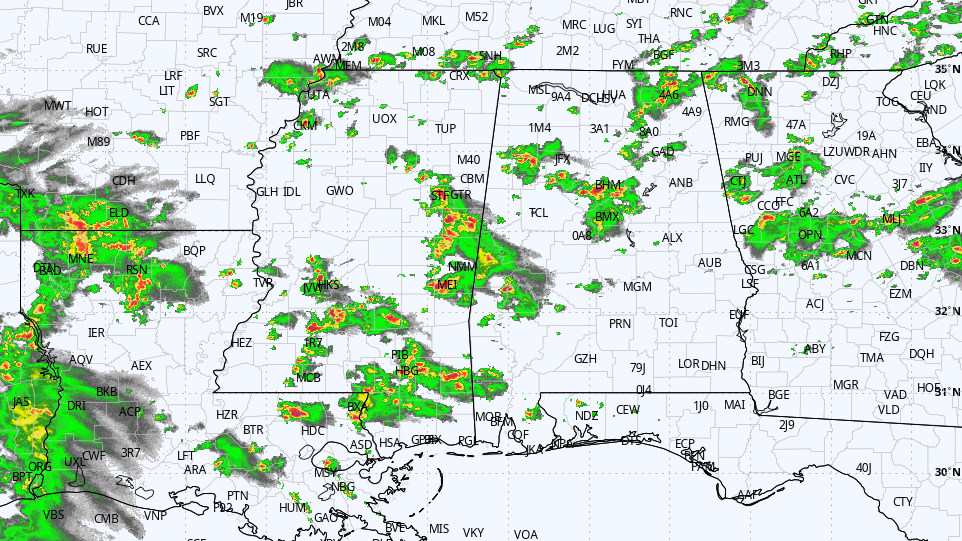
THIS AFTERNOON: The rain we experienced this morning has moved on to the east, but clouds linger across most of Alabama this afternoon.
Temperatures are mostly in the low 50s; clouds will linger tonight.
THE ALABAMA WEEKEND: Tomorrow will be dry, but we expect only a limited amount of sun. Most locations will see a high in the low 50s tomorrow afternoon.
Another surface wave will form in the Gulf of Mexico tomorrow, and will spread some light rain up into South Alabama tomorrow night. Some patchy light rain or drizzle is a possibility for North/Central Alabama, generally between 10pm Saturday and 4am Sunday. The light precipitation could end as snow flurries early Sunday morning, but temperatures will be above freezing and there won’t be any impact.
Sunday will be cooler with a mix of sun and clouds, and a high between 47 and 50 degrees.
MUCH COLDER EARLY NEXT WEEK: The GFS is printing a high of 37 for Birmingham Monday despite a mostly sunny sky; looks like areas along and north of I-20 won’t get out of the 30s. The low early Tuesday will be in the 18-22 degree range, with potential for lows in the lower teens for the colder valleys across North Alabama. Then, we rise into the 40s Tuesday afternoon as a warming trend begins.
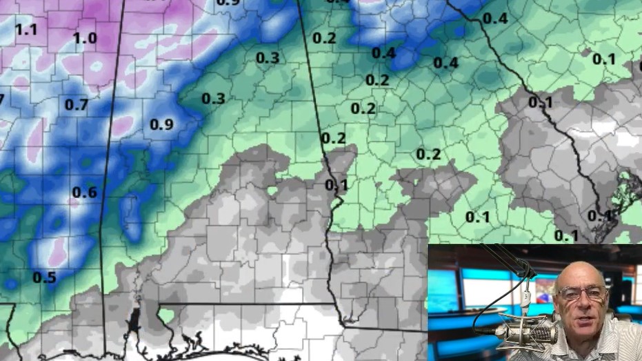
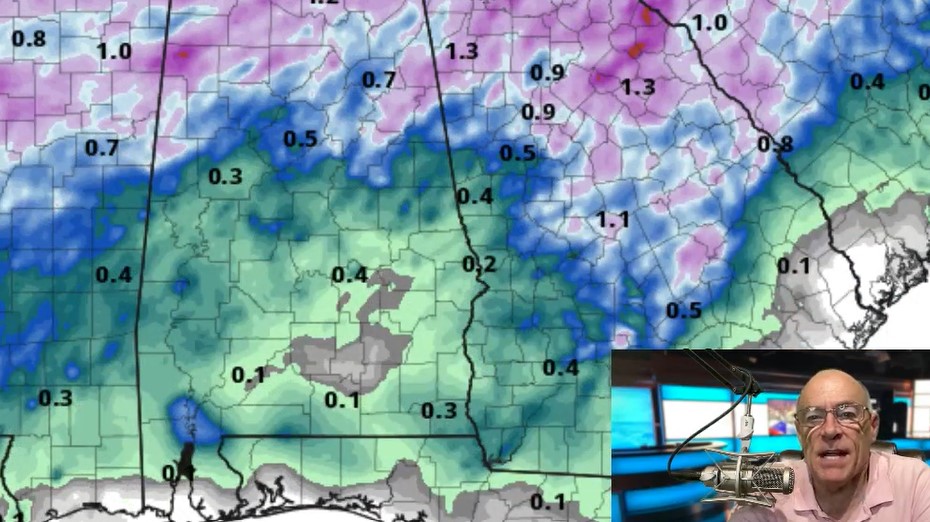
Some rain is possible as early as Wednesday; model guidance isn’t very consistent, but it looks like we should have a decent rain event before the week is over. See the Weather Xtreme video for maps, graphics, and more details.
WEATHER BRAINS: Don’t forget you can listen to our weekly 90 minute netcast anytime on the web, or on iTunes. This is the show all about weather featuring many familiar voices, including our meteorologists here at ABC 33/40.
CONNECT: You can find me on all of the major social networks…
Facebook
Twitter
Google Plus
Instagram
For more weather news and information from James Spann and his weather team, visit Alabama WX.


