Brian Peters: Hot weekend for central Alabama
Brian Peters Alabama NewsCenter weekend forecast for June 25 from Alabama NewsCenter on Vimeo.
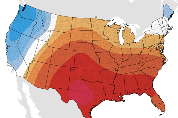
The early morning satellite image reveals just a few patches of clouds in spots across Alabama, so almost everyone will be waking up to plenty of sunshine for the morning. And just like we’ve been seeing for the past several days, there will be some of those puffy cumulus clouds forming in the afternoon sky with the potential for an isolated shower or thunderstorm, but most of us remain dry. The heat is up with the highs expected to be in the middle and upper 90s across the state. The warmth along with the relatively high humidity will result in heat indices reaching the 105 mark today, so the NWS has posted a heat advisory until 9 pm this evening for much of the western and southern sections of Central Alabama along with the Tennessee River Valley counties.
For beachgoers, this weekend promises to be beautiful along Alabama and Northwest Florida beaches. It will be seasonably hot, with highs around 90 and lows in the middle 70s. Rain chances will pick up by Monday afternoon and will stay fairly high from Monday afternoon through Wednesday.
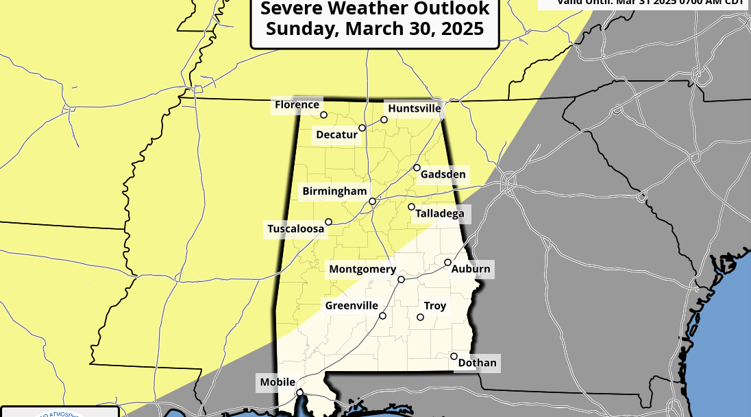
The main focus for organized severe weather will be well north of Central Alabama in the western Great Lakes area including parts of Wisconsin, Minnesota, Iowa, and eastern Nebraska. The Day 2 outlook shifts the area eastward to Michigan. By Day 3 there is a slight risk further west in parts of eastern Colorado, southwestern Nebraska, and northwestern Kansas.
Tropics remain quiet. The area of cloudiness over the Southwest Gulf of Mexico remains on a steady course west-northwestward without any signs of development.
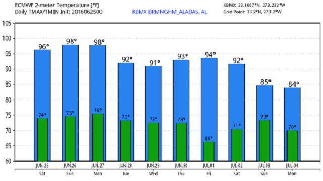
The 594 height contour will be centered over Mississippi today with just a small nudge westward on Sunday. But the big change starts on Monday as the large upper closed low moves across southern Canada and into the southeast part of Canada on Monday. This begins the process of initiating a pattern change that will end up with a trough over the eastern part of the US. Monday that big upper low will drag a surface front down into Ohio and Tennessee River Valleys and boost the chances for showers and thunderstorms especially just to our north. That front slowly sags into Central Alabama on Tuesday bringing our best chances for numerous showers and thunderstorms. The combination of that big ridge being forced back west, the additional clouds, and the presence of more showers and storms should result in highs in the lower 90s.
Small chances for showers linger early Wednesday, but by late Wednesday and Thursday the upper trough along with a surface high positioned over Illinois should bring another break in the heat and humidity with dew points falling off nicely to around 60. That 12 to 15 degree difference from dew points today will certainly feel nice with highs holding in the range of 88 to 91.
As we end the week and head into next weekend, the upper air pattern is expected to remain with a trough over the easter US and a ridge over Arizona and New Mexico. There is a potential to see some short waves rotating through this trough, so we may see the potential for isolated showers and storms returning as we begin to warm back up again with highs by Saturday in the lower 90s. All good things must come to an end.
The upper troughiness sticks with us through the 4th of July, but after that the pattern slowly changes once again as a large upper ridge reestablishes itself over the Southeast US. This signals a return to hot and mostly dry weather from the 5th through the 10th of July.
I will be filling in for Meaghan Thomas today on ABC 3340 News at 6 and 10 pm, so be sure to tune in to catch the latest forecast. I plan to post the next Weather Xtreme Video here by 8 am or so on Sunday morning. Have a great day, be careful with outdoor work and play in the heat, and Godspeed.
-Brian-

For more weather news and information from Brian Peters and the rest of the James Spann weather team, visit Alabama WX.


