James Spann: Frigid morning in Alabama; rain Wednesday
James Spann: Parched Alabama has two good shots at rain in the next week from Alabama NewsCenter on Vimeo.
VERY COLD MORNING: The average low for Birmingham for Nov. 21 is 40 degrees; needless to say, we were well under that value early this morning. Here are some temperatures just before daybreak:
- Black Creek (just northeast of Gadsden) — 19
- Millport — 20
- Cottondale — 21
- Valley Head — 21
- Anniston — 23
- Concord — 23
- Centre — 23
- Gadsden — 23
- Fort Payne — 23
- Sycamore — 24
- Pell City — 25
- Coker — 25
- Helena — 26
- Tuscaloosa — 27
- Clanton — 27
- Jasper — 28
- Birmingham — 30
Today will feature a mostly sunny sky with a high between 57 and 60 this afternoon. Tonight will bring another freeze; most places will see a low between 25 and 30 degrees early tomorrow morning.
Tomorrow will be dry and pleasant with a high in the low to mid 60s.
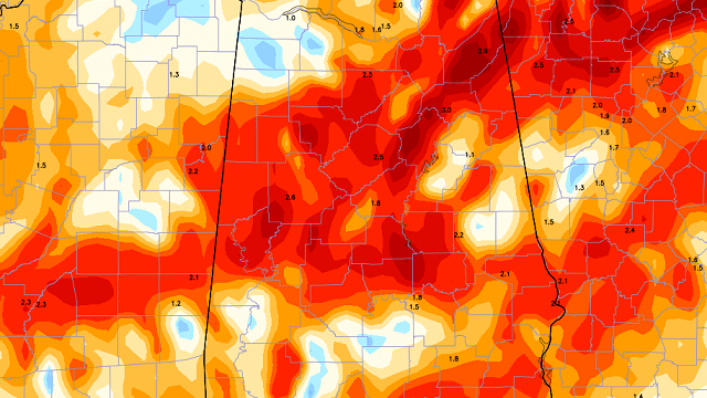
RAIN WEDNESDAY: Clouds move into the state late tomorrow night, and rain should move into West Alabama during the day Wednesday. Some thunder is possible, but we don’t expect any severe weather. Guidance suggests about one-quarter inch of rain for most of North/Central Alabama; this won’t make much of a dent in the drought, but it sure will help Alabama Forestry Commission workers out in the field fighting wildfires. The main window for showers/thunderstorms is from 9 a.m. through 9 p.m. Wednesday.
THURSDAY/FRIDAY: Thanksgiving Day and Black Friday for now are looking dry and pleasant; partly to mostly sunny both days with highs in the 67- to 70-degree range. Lows mostly in the 40s.
IRON BOWL: Saturday for now looks like a perfect day for the biggest college football game of the year in Alabama, with ample sunshine and a kickoff temperature in Tuscaloosa (2:30 p.m. at Bryant-Denny Stadium) near 67 degrees, falling into the low 60s by the final whistle.
THE ALABAMA WEEKEND: After the dry and pleasant day Saturday, clouds begin to return Sunday. There are timing differences in global models; the European brings rain into Alabama Sunday night, while the GFS holds the rain off until Monday, Nov. 28. This event should bring about one-quarter to one-half inch to the state whenever it arrives.
NEXT WEEK: The Euro shows a potent system impacting Alabama on Tuesday, Nov. 29, with potential for strong storms. There is no skill in resolving specifics and timing this far in advance, but the screaming message is that the pattern flip is setting up a much more active flow of mid-latitude waves across the Deep South in coming weeks, good news for a parched Alabama.
The GFS is printing 2 to 3 inches of rain for much of North/Central Alabama over the next 10 days.

AT THE BEACH: Mostly sunny days, fair nights on the coast through the weekend, with just a small risk of a shower Thursday and Friday. Highs mostly in the 70s. See a detailed Gulf Coast forecast here.
TROPICS: Tropical Depression 16 has formed in the far Southwest Caribbean; it is expected to become a hurricane by midweek (the name will be Otto), with landfall coming on the Central American coast later in the week. No threat to the U.S. The rest of the Atlantic basin is quiet.
WEATHER BRAINS: You can listen to our weekly 90-minute netcast anytime on the web, or on iTunes. This is the show all about weather featuring many familiar voices, including meteorologists at ABC 33/40.
CONNECT: You can find me on all of the major social networks:
Facebook
Twitter
Google Plus
Instagram
For more weather news and information, visit AlabamaWX.


