Brian Peters: Chilly again but warmer again Sunday in Alabama
Brian Peters Alabama NewsCenter weekend forecast for December 10 from Alabama NewsCenter on Vimeo.
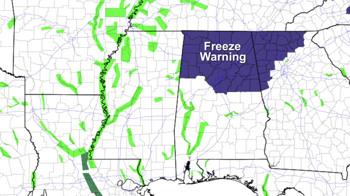
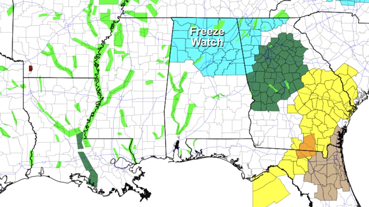
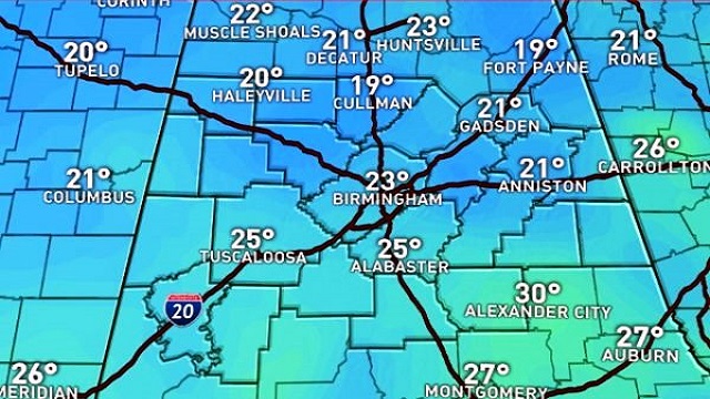
A crystal clear sky overnight allowed temperatures across Alabama to plummet with a combination of cold air advection and great radiational cooling. Temperatures this morning were at or below freezing across ALL of Alabama – even Mobile with 30 degrees at this writing. Across northern Alabama some of the normally colder valley locations were in the range of 15 to 19 degrees. Black Creek in Etowah County had gone as cold as 15 at last check with what the observer described as “a monster frost.” The high pressure over the Ohio River Valley will keep our weather sunny today but it is going to remain relatively cold as the highs today only reach the upper 40s – still a tad warmer than yesterday’s highs. The high at the Birmingham Shuttlesworth International Airport was a nippy 42 degrees which is 15 degrees below our 30-year average for the first half of December (57).
Looking for the beach forecast? It’s going to be sunny and chilly along the beaches through the weekend. From Gulf Shores to Panama City Beach highs are going to be in the lower 50s today warming into the 60s Sunday with lower 70s returning early next week. See the complete Gulf Coast 7 Day Planner here.
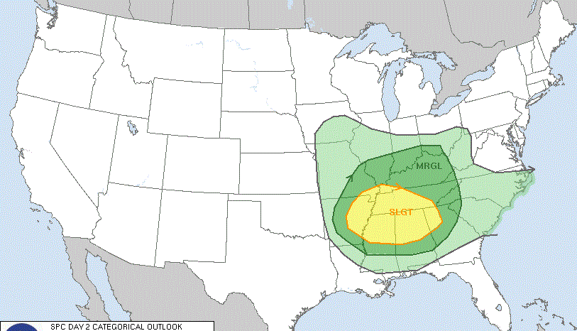
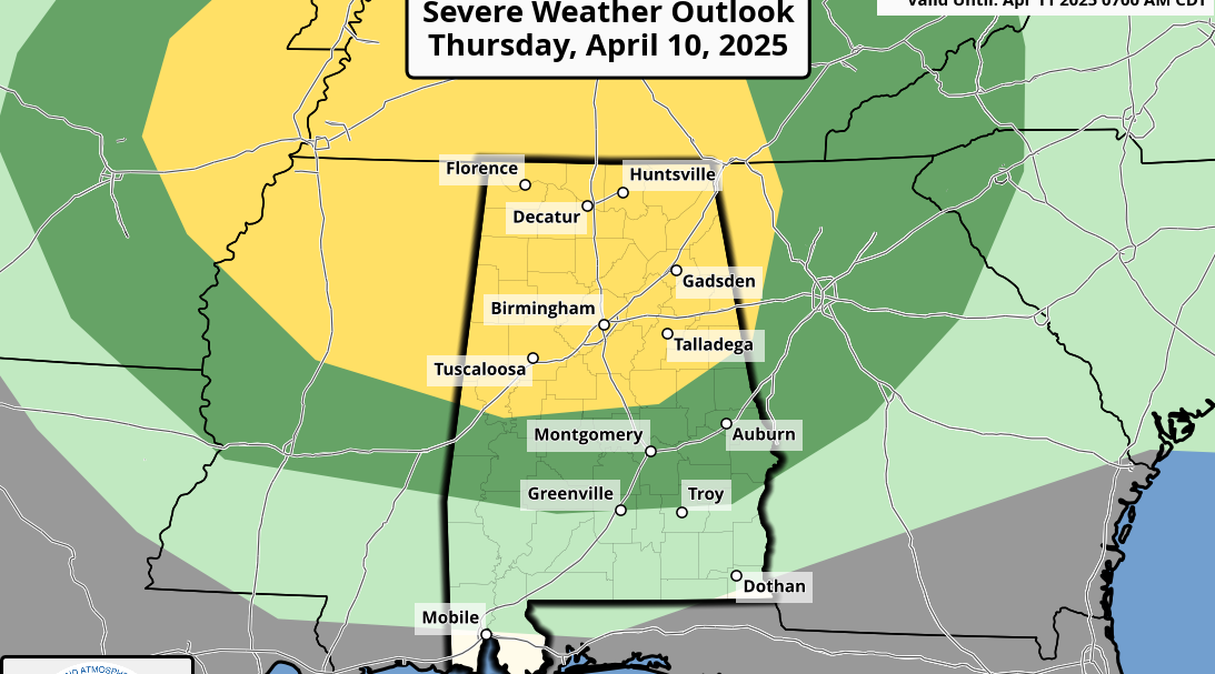
As you might expect with cold gripping a good portion of the Nation, there are actually no areas of severe weather expected. In fact, thunder will be confined to a narrow sliver of the Northwest US coast for Day 1. Days 2 and 3 will still be free of severe weather with thunder a possibility in the Lower Mississippi River Valley.
The surface high moves east Sunday allowing us to warm up. At least most of us will warm up. The position of the high center along the northeast coast of the US will likely set up cold air damming – known as the wedge – across north Georgia extending into Northeast and East Central Alabama. This will keep temperatures a little cooler in those areas by at least a few degrees while the rest of North and Central Alabama warm well into the 50s – middle and upper 50s for most.
While the upper flow goes nearly zonal for several days, a new weather system takes shape across the Plains States late Sunday and into Monday. This will increase our clouds late in the day on Sunday. By Monday, the approach of a cold front will ramp up rain chances as temperatures climb a little high into the range from the upper 50s to lower 60s. Due to the nearly zonal flow aloft, the front is going to become stationary across the Southeast US, so we’ll see rain chances stick around with showers a possibility for Tuesday and Wednesday. Rainfall with this round of weather should be fairly light, mainly in the range of one half to one inch. Better chances for rain come on Monday for most of us. Temperatures won’t be changing much with mostly cloudy weather. Look for highs in the lower 60s and lows in the lower and middle 50s.
A surface high over Iowa on Thursday along with a slight northwesterly flow aloft should bring a cooler day for Thursday along with dry weather. Highs will only be in the lower 50s with lows in the middle 30s. Moisture increases especially aloft on Friday and Saturday as the upper flow takes on a southwesterly trajectory with an upper ridge building over the eastern half of the country. This will spell warmer weather for the end of the week and into the weekend with highs potentially edging to near 70 while rain chances stay fairly small as we get into Saturday. But rain chances may be ramping up as we move into Sunday.
Looking into voodoo country, the name we give to week 2 of the forecast, the upper flow remains primarily in an upper ridge, so it looks like we should stay fairly warm. It could be wet, though, with a deep trough and eventually a closed low over the Southwest US which would pump Pacific moisture into the southern states. By 348 hours or Christmas Eve, the GFS kicks out what appears to be a very potent upper closed low. This pattern would suggest a major storm coming into the Plains States which would have a significant impact on travel right before Christmas. This could also produce a wet and stormy day for the Southeast US on Christmas Day. But we know how voodoo land can be – here today, gone tomorrow.
I will be filling in for Meaghan Thomas this weekend, so you can catch the latest weather forecast at 6 and 10 pm this evening. I’ll have the next Weather Xtreme Video here first thing on Sunday morning. Stay warm and Godspeed.
-Brian-
For more weather news and information from Brian Peters and the rest of the James Spann team, visit Alabama Wx.


