James Spann: Potential for severe weather continues in Alabama
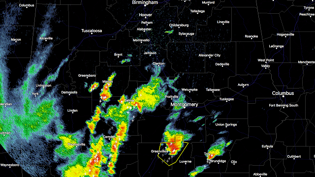
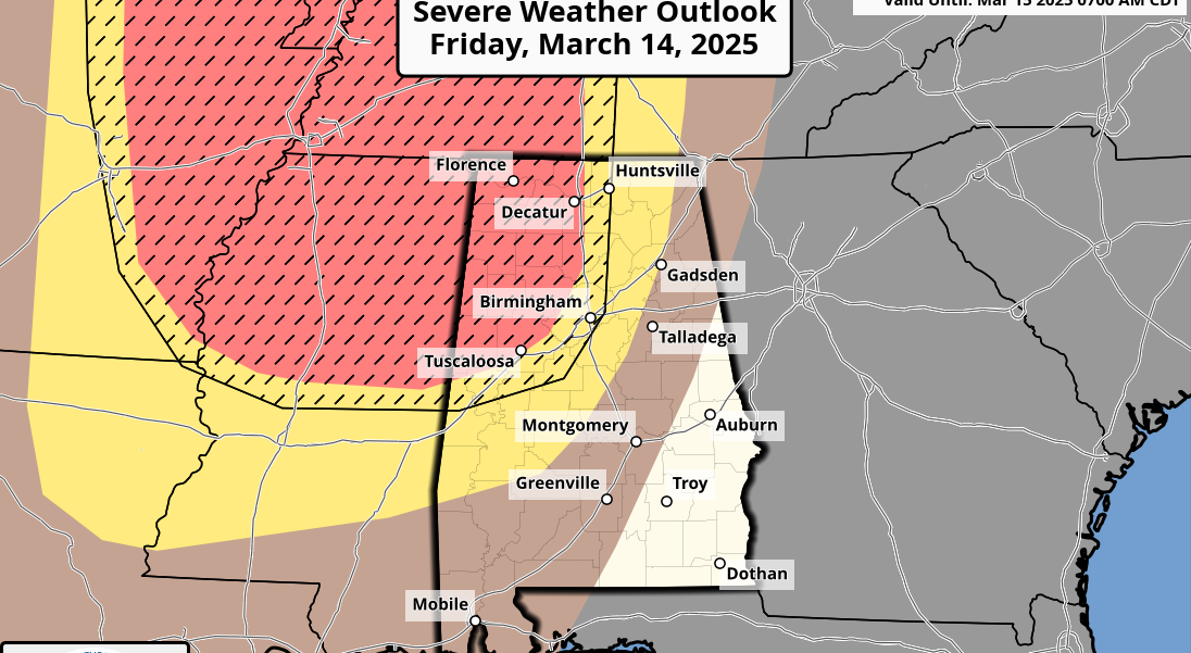
RADAR CHECK: Showers and storms over the southern half of the state are marching northward. Some of these storms are producing hail and strong, gusty winds.

In addition, another line of storms has formed just east of Memphis, and those will move into northwest Alabama late this afternoon.

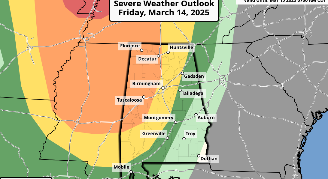
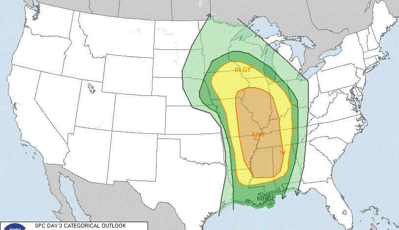
The Storm Prediction Center maintains a “slight” risk of severe storms for much of Alabama through the evening.

The storms over South Alabama have clearly disrupted the southerly flow over parts of the state, lessening the overall severe weather threat this evening for the northern half of the state. But it is important to understand that, even with that situation, severe storms are still possible statewide through tonight.
The main threats will come from strong straight-line winds and hail, but a few isolated tornadoes are still possible.
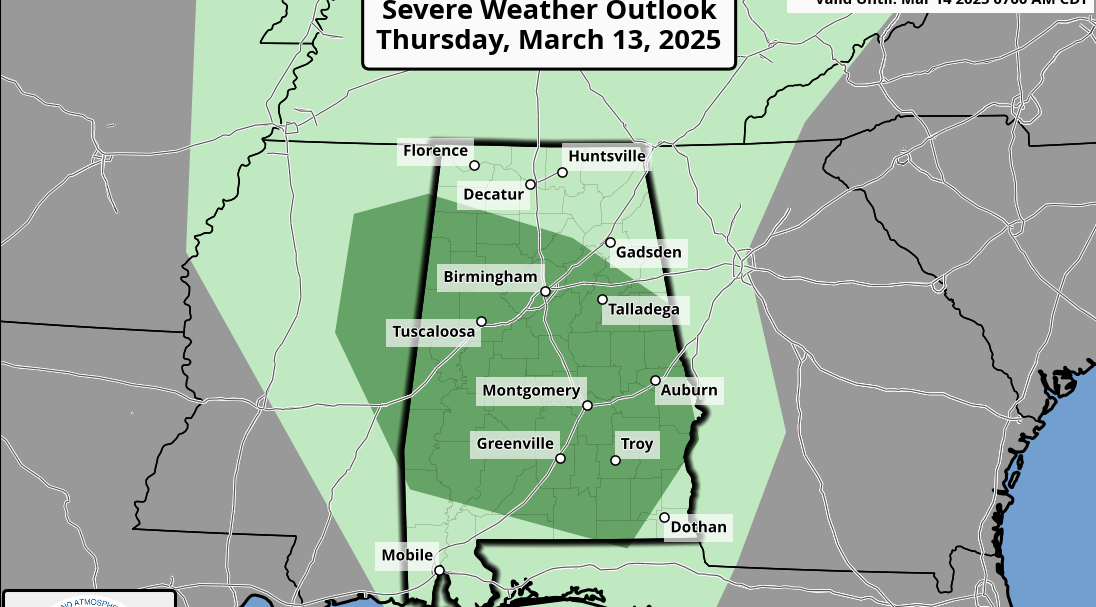
TIMING: Storms are in progress over the southern half of the state. For North Alabama, the line of storms will enter the state around 4:30 to 5 p.m., progressing slowly eastward. The storms should be over by 2 a.m. The main chance of stronger storms for places like Tuscaloosa, Birmingham, Anniston and Gadsden will come from about 7 p.m. until 10 p.m.
AlabamaWX will be updated frequently through the event, so check in often.
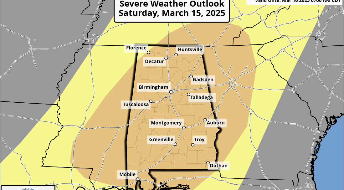
TOMORROW THROUGH THE WEEKEND: The weather will be dry and pleasant. The high will be in the mid 70s tomorrow followed by upper 70s Saturday, with a sunny sky both days. Sunday will be a partly sunny day with a high around 80.
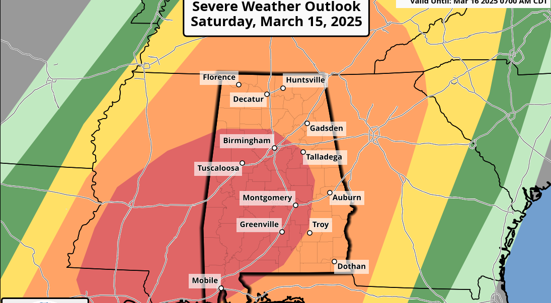
NEXT WEEK: Rain and storms are likely Monday. The latest Global Forecast System run continues to suggest the surface low will move right through Central Alabama, meaning a heavy rain threat for the northern half of the state, with severe storms possible near the Gulf Coast. But this could easily change as we get closer to the event. Then, another round of rain and storms is likely by Wednesday.
Click here to see the Beach Forecast Center page.
STORM SPOTTER TRAINING: We will be on the road through April offering free storm spotter classes. We need more trained spotters in Alabama. By attending, you can make the severe weather warning process better. No need to register; just come with a curious mind. And there is no age limit; kids who love weather will enjoy it. You will never look at a storm the same again. The next training is in Tuscaloosa Tuesday evening at 6:30 at Shelton State Community College.
WEATHER BRAINS: You can listen to our weekly 90-minute netcast anytime on the web, or on iTunes. This is the show all about weather featuring many familiar voices, including meteorologists at ABC 33/40.
CONNECT: You can find me on all of the major social networks:
Facebook
Twitter
Google Plus
Instagram
Pinterest
Snapchat: spannwx
For more weather news and information, visit AlabamaWX.