James Spann: Cool, mostly cloudy day for Alabama
James Spann: Alabama is unseasonably cool, but not for long from Alabama NewsCenter on Vimeo.
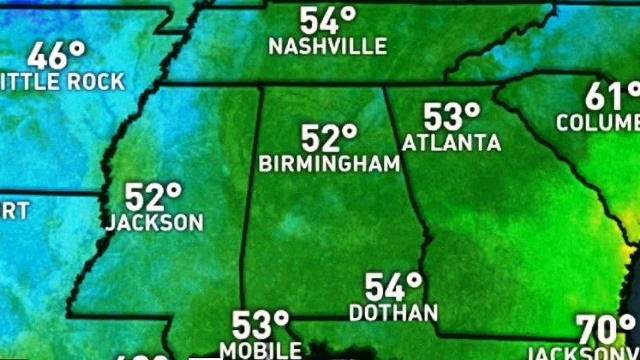
COOL AIR REMAINS IN PLACE: A deep upper trough is over the Southeast this morning and should keep Alabama mostly cloudy and cool today, with temperatures not getting out of the 60s in most places. Despite the clouds the day will be dry here; heavy rain is likely well to the east over the Carolinas and Virginia. We could see a little sun this afternoon, especially over West Alabama.
The sky becomes clear tonight, and by daybreak tomorrow we expect a low in the 48- to 52-degree range.
TOMORROW/WEDNESDAY: We expect a big daytime warm-up tomorrow; after the cool start we climb to near 80 degrees by mid-afternoon with sunshine in full force. Wednesday will be sunny and warm with a high in the mid 80s.
RAIN RETURNS THURSDAY: A surface low moving through the Great Lakes will drag a cold front through Alabama Thursday, and we will bring back a chance of showers and thunderstorms. The air will be pretty unstable Thursday afternoon, with surface-based CAPE values rising to over 2,000 j/kg, so a few strong thunderstorms will be possible. For now the Storm Prediction Center does not have a severe weather risk defined as the better dynamics will be well to the north.
FRIDAY AND THE WEEKEND: Friday and Saturday look warm and dry; we expect mid 80s Friday and upper 80s Saturday. Sunday, to the west, a potent weather system will bring the chance of severe storms to parts of Arkansas, Louisiana and Mississippi. Here in Alabama the daytime Sunday looks dry, but those storms will move in here Sunday night and we will need to monitor parameters closely for severe potential. At the moment it looks like the chance of stronger storms will come from 6 p.m. Sunday to 6 a.m. Monday, but with this event being almost seven days out, changes are very possible if not likely.
NEXT WEEK: After the storms end early Monday, the sky should clear by afternoon with highs dropping back in the 70s. Seems like the next chance of showers and storms will come later in the week, possibly Wednesday night and Thursday.

SATURDAY EVENING STORMS: National Weather Service Huntsville survey teams found EF-1 tornado damage at Jones Chapel, in western Cullman County. It was on the ground for just over 4 miles, with a peak wind of 100 mph. There was significant damage, but no injuries. On the positive side, there were some big rain amounts over the weekend, including 2.53 inches at Addison in Winston County. Our Skywatcher at Rainbow City reported 2.32 inches.
Click here to see the Beach Forecast Center page.
WEATHER BRAINS: You can listen to our weekly 90-minute netcast anytime on the web, or on iTunes. This is the show all about weather featuring many familiar voices, including meteorologists at ABC 33/40. We will produce this week’s show tonight at 8:30. You can watch it live here.
CONNECT: You can find me on all of the major social networks:
Facebook
Twitter
Google Plus
Instagram
Pinterest
Snapchat: spannwx
For more weather news and information, visit AlabamaWX.


