Brian Peters: Fine fall Saturday for Alabama
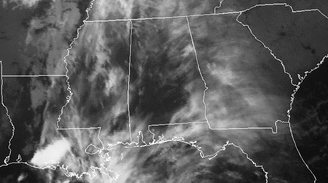
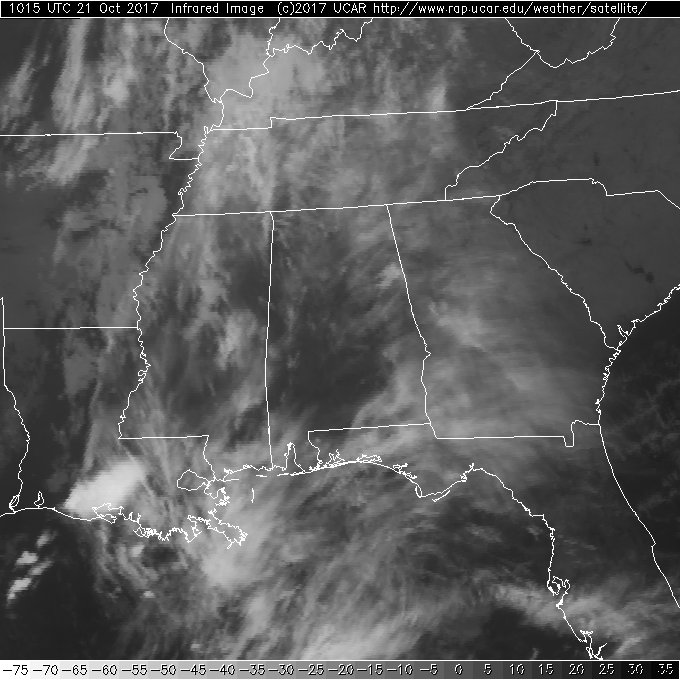
TODAY: Alabama and much of the Southeast is covered by high cirrus clouds this morning, which will filter the sunshine a bit, but it should be another very nice day. Actually the last very nice day before a soaking rain event. Highs today will be around the 80-degree mark.
FOOTBALL WEATHER: Alabama hosts the Tennessee Volunteers in a 2:30 p.m. kickoff at Bryant-Denny Stadium. The game will be played under a mostly sunny sky with a temperature of 82 degrees at kickoff dropping into the middle 70s by the fourth quarter as the sun fades in the west.
Auburn travels to Fayetteville, Arkansas, to take on the Razorbacks with a 6:30 p.m. kickoff. It appears likely that the main band of showers and storms won’t arrive there until after the game is over tonight. And we should mention that severe storms are possible in Fayetteville late Saturday night into the predawn hours Sunday. Temperatures will fall from near 72 degrees at kickoff into the 60s by the fourth quarter.
UAB will also be on the road; taking on the Charlotte 49ers with a 5:30 p.m. CDT kickoff. The sky should be clear, with temperatures falling from near 74 degrees at kickoff into the low 60s by the final whistle.
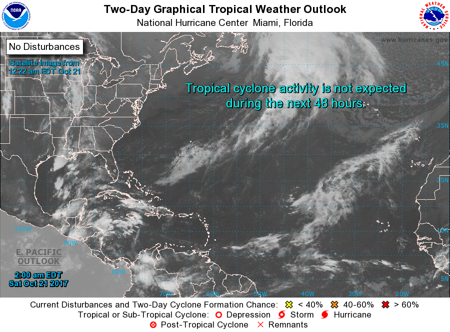
TROPICS: There are no areas of disturbed weather today, and tropical storm formation is not expected across the Atlantic basin through next week.
BEACH FORECAST: Click here to see the AlabamaWx Beach Forecast Center page.
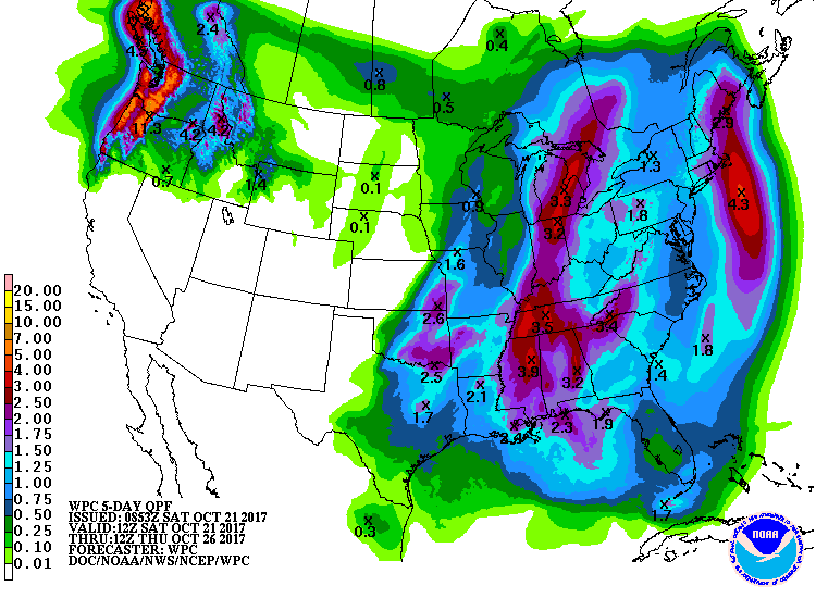
SUNDAY/MONDAY SOAKER: Sunday becomes a bit of a transition day as a strong upper trough pushes a surface cold front across the Lower Mississippi River Valley. The day in Central Alabama will start dry as clouds increase, with rain chances ramping up into the mid to late afternoon. Much of Alabama will be experiencing wet weather by Sunday evening and into Monday. Highs Sunday should be held down a little with the presence of clouds, with readings in the upper 70s.
Rainfall amounts are expected to be substantial, with widespread amounts of 2 to 3 inches possible. The WPC has a slight risk identified for excessive rainfall across western Alabama late Sunday into early Monday, and for a large chunk of north and east central Alabama for Monday. The SPC does not anticipate any severe weather for the Southeast on Sunday evening or Monday.
NEXT WEEK AND BEYOND: The very deep upper trough digs into the Ohio River Valley on Tuesday, dropping temperatures once again for Central Alabama. Highs Tuesday will be in the upper 60s, but it could be one of those rather raw days where the temperature actually remains steady or falls for much of the day as the cold air arrives behind the front.
High pressure will settle into the Southeast from the Central U.S., keeping us dry through the week. Temperatures will climb into the 70s for the latter half of the week as we see weak ridging occur over the eastern part of the country. But the warming trend will not last a long time, with the arrival Friday and Saturday of another deep trough for the eastern part of the U.S. The deep trough should also push another cold front into the Southeast, with the best chances for rain coming primarily next Saturday. The deep upper trough and cold front promise to drop our temperatures back once again as the overall weather pattern remains pretty fast.
Looking into voodoo country, the GFS maintains the idea of troughiness for the eastern US into the first of November. Weak ridging is possible around Nov. 3, which should help temperatures recover a bit.
WEATHER BRAINS: You can listen to our weekly 90-minute netcast anytime on the web, or on iTunes. This is the show all about weather featuring many familiar voices, including meteorologists at ABC 33/40.
For more weather news and information from Brian Peters and other members of the James Spann team, visit AlabamaWx.


