James Spann: Scattered strong storms for Alabama this afternoon
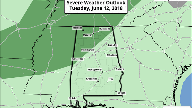
RADAR CHECK: Again this afternoon we have a random pattern of scattered, strong thunderstorms across Alabama. Storms today are moving slowly to the east/southeast, and are producing gusty winds, heavy rain and lots of lightning. An outflow boundary approaching from the north could bring a band of more organized storms to northwest Alabama over the next five to six hours; the Storm Prediction Center has that part of the state under a marginal risk of severe storms (level 1 out of 5).

Showers and storms will end late tonight.
TOMORROW/THURSDAY: No real change — expect warm, humid days with a mix of sun and clouds and, once again, scattered showers and thunderstorms, most likely during the afternoon and evening hours. Highs will be in the mid to upper 80s.
FRIDAY AND THE WEEKEND: The Global Forecast System (and to some degree, the European model), continues to suggest that the air over Alabama could a bit more stable on these three days, meaning scattered showers and storms will become fewer in number, and heat levels a bit higher. We will forecast partly sunny days with widely scattered showers and storms during the afternoon and evening hours. Highs will creep up into the low 90s. Very typical June weather for Alabama.
NEXT WEEK: A persistence forecast is the best option. We will maintain the daily risk of random, scattered, mostly afternoon and evening storms; otherwise, we’ll see a mix of sun and clouds each day with highs not far from 90 degrees.
TROPICS: A broad disturbance in the western Caribbean will move up into the southwest Gulf of Mexico late this week; the odds of significant development are fairly low. The main impact will be a push of deep tropical moisture into Texas in five to seven days, hopefully bringing beneficial rain to parts of the Lone Star State. This won’t affect Alabama or the central Gulf Coast.
Over in the eastern Pacific, Hurricane Bud is beginning to weaken off the west coast of Mexico. Sustained winds are 125 mph, and additional weakening is likely in coming days as it encounters cooler water. This will bring lots of rain to Cabo San Lucas and Baja California late this week, and some of the moisture could work up into the Southwest U.S. by Sunday or Monday.
BEACH FORECAST: Click here to see the AlabamaWx Beach Forecast Center page.
WEATHER BRAINS: You can listen to our weekly 90-minute netcast any time on the web, or on iTunes. This is the show all about weather featuring many familiar voices, including meteorologists at ABC 33/40.
CONNECT: You can find me on all of the major social networks:
Facebook
Twitter
Google Plus
Pinterest
Snapchat: spannwx
For more weather news and information from James Spann and his team, visit AlabamaWx.