Scott Martin: Alabama stays dry for a while, but get ready for colder temperatures
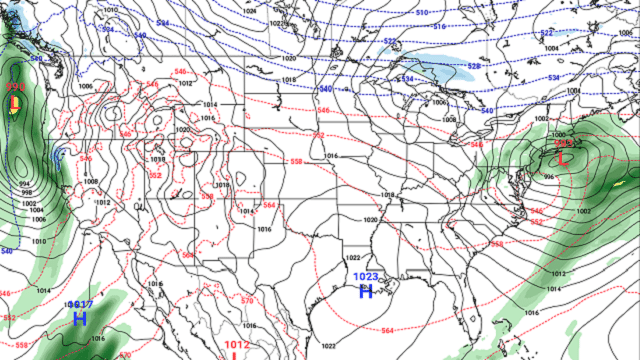
TODAY: With the troughing now moving to the east of us and ridging starting to build out to our west, we’ll have a very nice day with moderating temperatures. Afternoon highs will top out in the mid-50s to the lower 60s, a little warmer than normal for the early parts of January. We’ll have mainly clear skies continue through the evening and overnight, with lows dropping into the mid-30s to the lower 40s.
SUNDAY: As the ridging to our west moves even closer to Alabama, our weather will continue to be very nice with temperatures entering the mild category. We’ll have a good bit of sunshine with only a few passing clouds and afternoon highs in the lower 60s to near 70 degrees from north to south. We’ll have a few more clouds move in late in the evening, giving us partly cloudy skies by the overnight hours. Lows dip into the lower 40s.
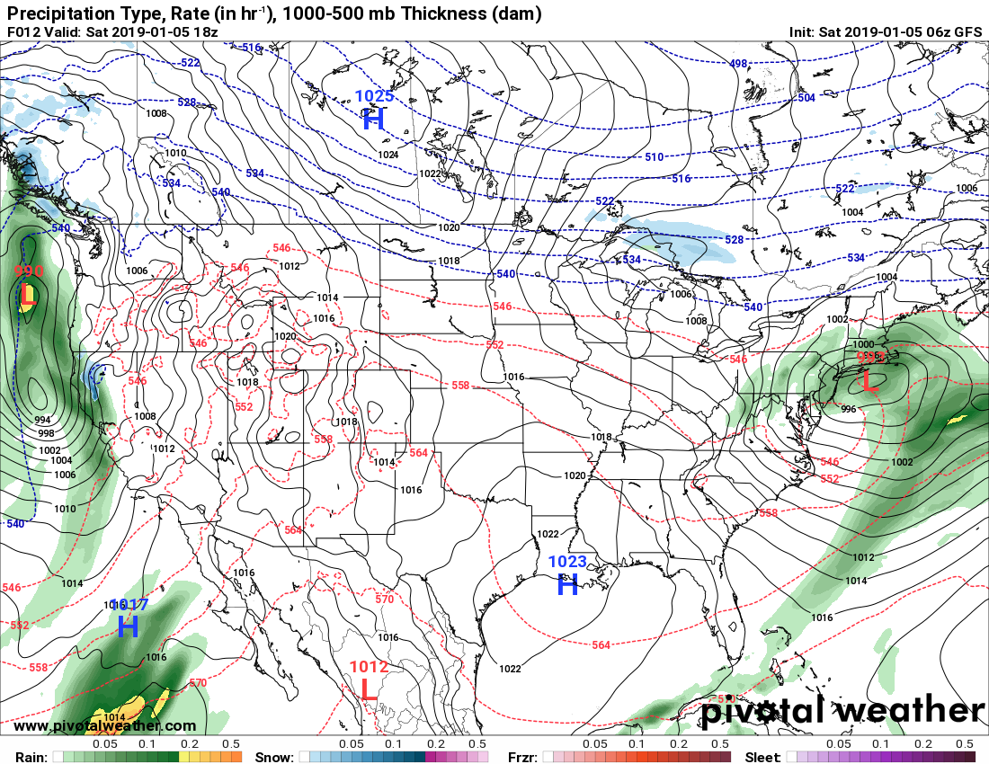
MONDAY AND TUESDAY: By Monday afternoon, the apex of the ridge will have passed through Alabama and the flow starts to become more zonal behind it. There will also be a low moving up into the Great Lakes that will be trailing a cold front that will eventually move through Alabama late Monday evening and into the early morning on Tuesday. While the latest model runs have trended drier, there may be just enough moisture to include a small chance of a few sprinkles or light showers across the northern half of the area Monday evening through the pre-dawn hours Tuesday. Skies will become mostly cloudy with highs in the 60s on Monday, beginning to clear late Tuesday with highs also in the 60s.
NATIONAL CHAMPIONSHIP GAME: No. 1 Alabama will be taking on No. 2 Clemson out in Santa Clara, California, with kickoff taking place at 7 p.m. CST. At this point, the game looks to be taking place between rounds of showers. There is a chance of a few showers during the day prior to kickoff, but those should come to an end before the coin toss. Skies will be mostly cloudy throughout the game, and there may be a passing shower, but for now it looks to be dry. Temperatures will be in the 50s throughout the game.
WEDNESDAY AND THURSDAY: The ridging begins to build again out to our west and that will bring us another few days of dry but cooler weather across Alabama. Wednesday will feature a good bit of sunshine with just a few clouds and highs in the upper 40s to the mid-50s from north to south. There will even be more sunshine on Thursday, but highs will remain cool, topping out in the upper 40s to the mid-50s.
FRIDAY: The ridging flattens out again as the pattern goes zonal, and there will be a small impulse that will begin to make its way toward Alabama on Friday. We’ll have clouds begin to build during the morning and afternoon, and we’ll have a very small chance of a few passing showers during the late afternoon and through the remainder of the day. Afternoon highs will be in the upper 40s to the mid-50s from north to south.
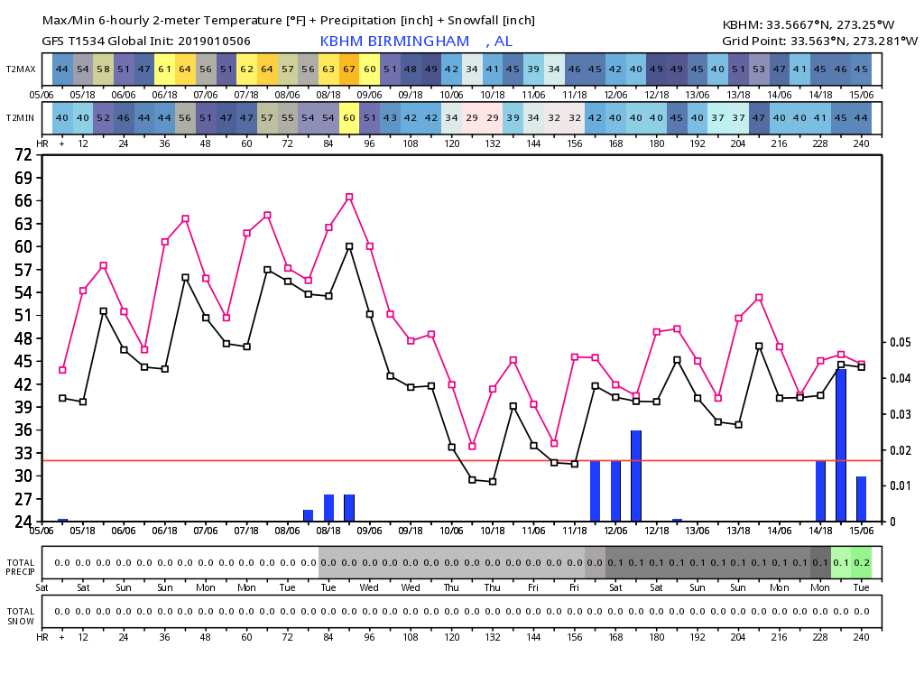
VOODOO LAND: We look to stay dry for a good while with only a few chances of passing light showers here and there. The next decent chance of rain looks to be the evening of Sunday, Jan. 20. According to the Global Forecast System outlook on temperatures, it looks like Old Man Winter is here to stay for a while once the front moves through on Tuesday, as highs look to stay in the 40s for the most part through Jan. 14, with lows in the 30s and 40s. The GFS is also showing around one-quarter of an inch of rain between now and the 14th. But this can and will change, as this is out in Voodoo Land.
For more weather news and information from James Spann, Scott Martin and other members of the James Spann team, visit AlabamaWx.


