Scott Martin: Nice weekend ahead for Alabama; rain chances return by midweek
A DRY, HOT START FOR JUNE: As we start off your Saturday with some cloud cover over parts of Alabama, we do have some sun brightening the sky. Temperatures were in the upper 50s to the upper 60s, with Tuscaloosa the warm spot at 70 degrees and Cullman the cool spot at 58 degrees. Birmingham was at 66 degrees at 6:30 a.m.
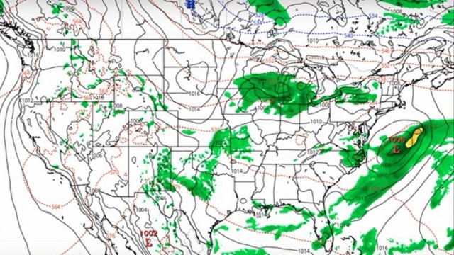
We have a trough over the eastern parts of the country that is pulling in drier air from the northwest. Skies will clear out for all of central Alabama by this afternoon, and highs will top out in the upper 80s to the lower 90s. Look for clear skies tonight with lows in the upper 50s to the 60s.
ANOTHER DRY DAY FOR MOST ON SUNDAY: The trough stays in place for Sunday, but a cold front will be moving southward and will move through Alabama during the afternoon and evening. There may be just enough lift for a few isolated showers across north Alabama and the extreme northern parts of central Alabama during the main heating of the day, but the rest of the state will remain dry. Skies will be mostly clear with highs reaching the upper 80s to the lower 90s.
HOT AND DRY THROUGH TUESDAY: The trough begins to move eastward as a ridge starts building just to our west on Monday and stays around on Tuesday. After the cold front moves through, skies will be mostly sunny on Monday with highs in the mid-80s to the lower 90s. Tuesday will feature a mix of sun and clouds with highs back in the upper 80s to the mid-90s.
RAIN CHANCES RETURN: The ridge weakens on Wednesday as a trough begins to move eastward over the southwestern states. A warm front will pass through the area, trailing down from a low over the Great Lakes. There will be enough destabilization and moisture that we’ll have a few isolated to scattered showers and storms possible. Highs will be in the upper 80s to the lower 90s.
As the trough moves closer on Thursday our flow will be out of the southwest, pulling more moisture in from the Gulf. We’ll have a slightly better chance of isolated to scattered showers and storms, with highs reaching the upper 80s to the lower 90s.
The trough will be even closer to us on Friday, meaning we will have a good chance of scattered showers and thunderstorms throughout the day. With the cloud cover and rainfall, afternoon highs look to stay in the 80s.
VOODOO LAND: It looks like next weekend may be wet at times, with showers and thunderstorms possible on both Saturday and Sunday. Highs on both days look to be in the lower 90s.
BEACH FORECAST CENTER: Get the latest weather and rip current forecasts for the beaches from Fort Morgan to Panama City on our Beach Forecast Center page. There, you can select the forecast of the region you are interested in.
ON THIS DAY IN 1903: A strong tornado just 50 to 75 yards in width killed many people around the Gainesville, Georgia, Cotton Mill. The tornado strengthened and widened near the end of its four-mile path, killing 40 people at New Holland, Georgia. A total of 104 were killed in the tornado.
For more weather news and information from James Spann, Scott Martin and other members of the James Spann team, visit AlabamaWx.


