James Spann: Soaking rain for most of Alabama on Tuesday
COOL OCTOBER DAY: Temperatures are mostly in the low to mid 70s across north and central Alabama this afternoon; the average high for Oct. 14 at Birmingham is 76. The sky is generally cloudy, although there are few blue patches around. Clouds will thicken tonight as a wave approaches from the west, interacting with a stalled surface front over south Alabama.
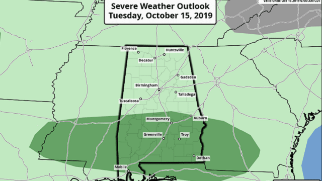
ACTIVE DAY TUESDAY: Most of Alabama will see a soaking rain Tuesday; amounts of 1-2 inches are likely, with isolated totals to 3 inches. It now looks like the air will become marginally unstable over south Alabama; the Storm Prediction Center has introduced a marginal risk (level 1 of 5) of severe thunderstorms for the southern half of the state.
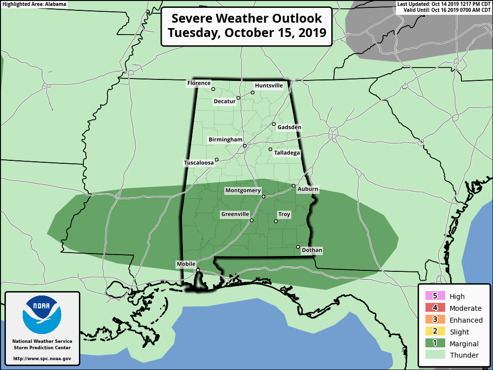
A few of the thunderstorms over south Alabama Tuesday will be capable of producing strong winds and small hail. There is also a low-end tornado threat, based on the forecast wind profiles. No severe weather is expected over north Alabama; just lots of beneficial rain.
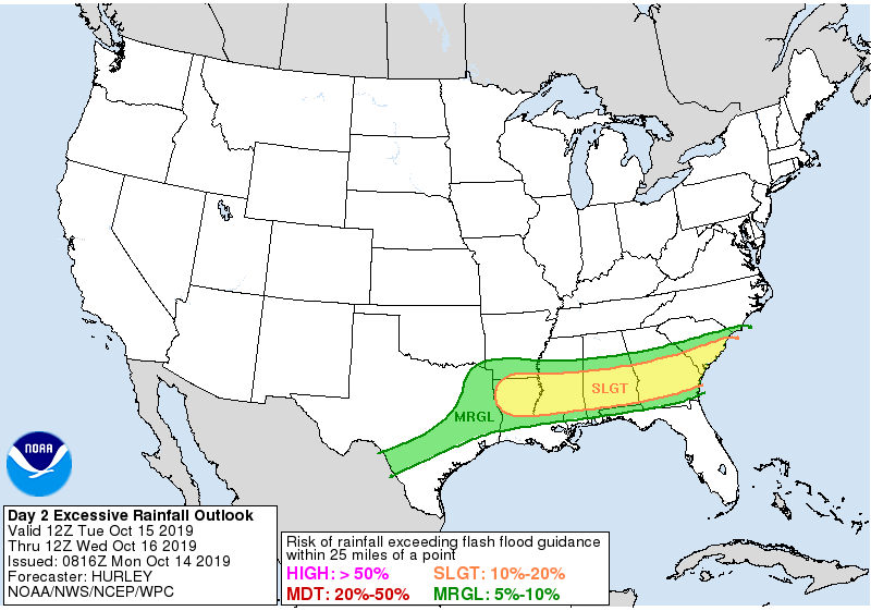
We should also note there is some risk of flooding over central and south Alabama Tuesday.
WEDNESDAY THROUGH FRIDAY: Showers end very early Wednesday, and the sky becomes partly to mostly sunny by afternoon with a high close to 70. Thursday and Friday look like delightful autumn days with lots of sunshine, comfortable afternoons and chilly nights. Lows will be in the 40- to 45-degree range for most places, but colder pockets will visit the 30s. The high will be in the upper 60s Thursday, followed by low to mid 70s Friday.
THE ALABAMA WEEKEND: The latest global model data suggests showers are possible over south Alabama Saturday, but the northern half of the state should be dry and mild with a high in the 70s. Clouds increase Saturday night, and showers and storms are possible statewide Sunday as a moist, unstable air mass moves up from the south. Sunday’s high will be in the 77- to 81-degree range.
NEXT WEEK: Showers and strong thunderstorms are likely Monday, followed by cooler, drier air through the middle of the week.

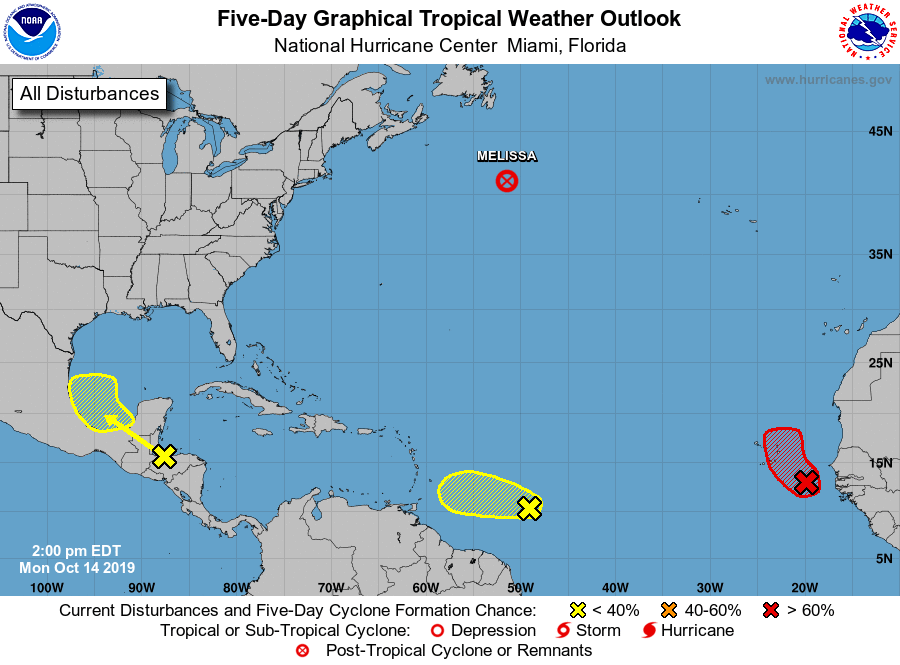
TROPICS: Melissa has become post-tropical in the North Atlantic. A wave just off the coast of Africa has a high chance of becoming Tropical Storm Nestor over the next 48 hours, but it is expected to remain in the east Atlantic, far from the U.S. or the Lesser Antilles. Two other waves across the Atlantic basin have just a low chance of development.
ON THIS DATE IN 1941: America’s first television weather forecast was broadcast on New York’s WNBT (later WNBC). There weren’t many televisions at that time, so viewers were limited to perhaps a few hundred people. The weathercast consisted of a sponsor’s message followed by a screen of text containing the next day’s forecast.
BEACH FORECAST: Click here to see the AlabamaWx Beach Forecast Center page.
WEATHER BRAINS: You can listen to our weekly 90-minute show any time on your favorite podcast app. This is the show all about weather featuring many familiar voices, including the meteorologists at ABC 33/40.
CONNECT: You can find me on the major social networks:
Facebook
Twitter
Instagram
Pinterest
Snapchat: spannwx
For more weather news and information from James Spann and his team, visit AlabamaWx.