James Spann: Light rain for Alabama on Wednesday
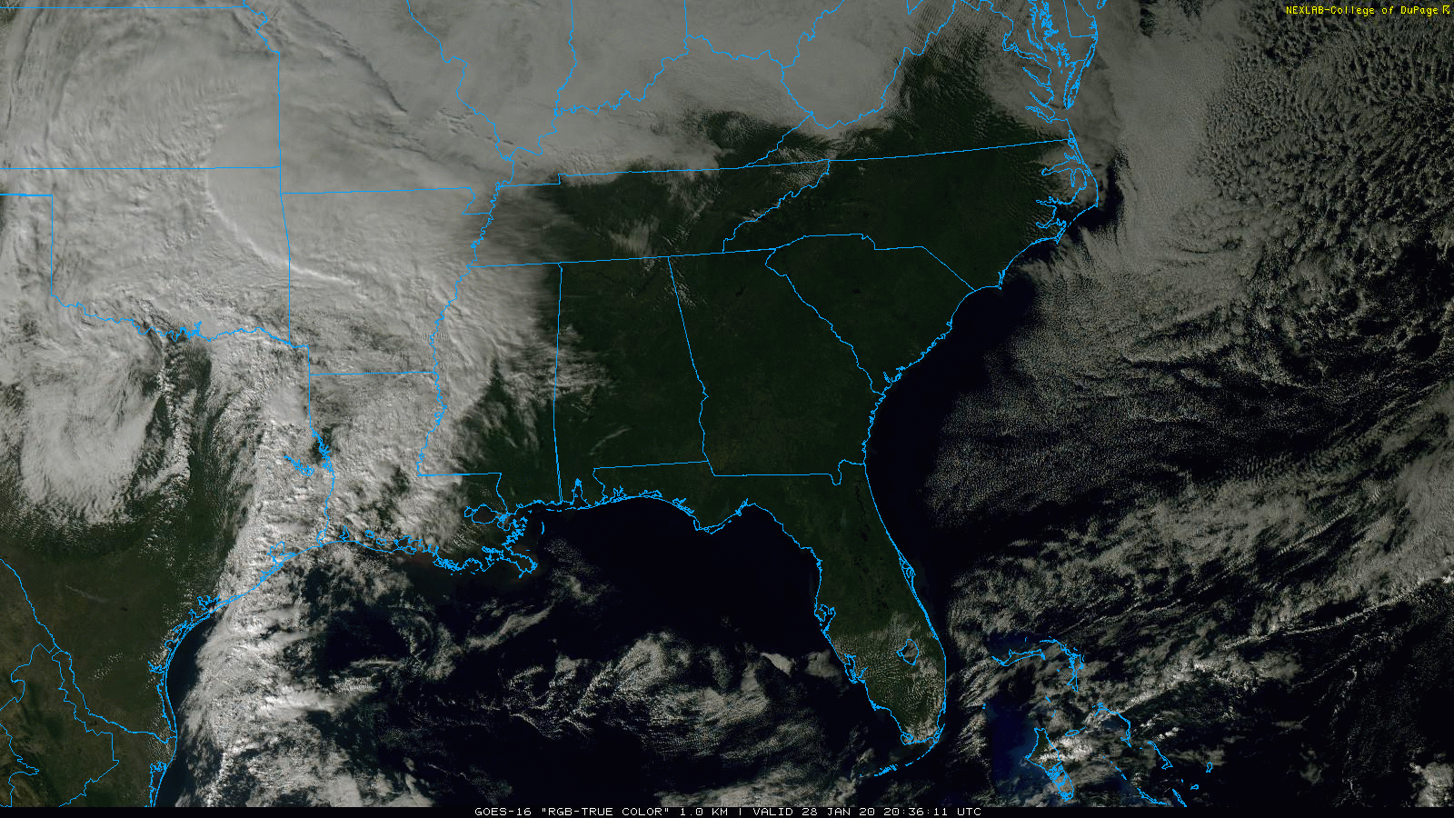
VERY PLEASANT WINTER DAY: With a good supply of sunshine, temperatures are in the low 60s across north and central Alabama this afternoon. However, clouds to the west will roll into the state tonight ahead of the next upper wave, now over Texas.
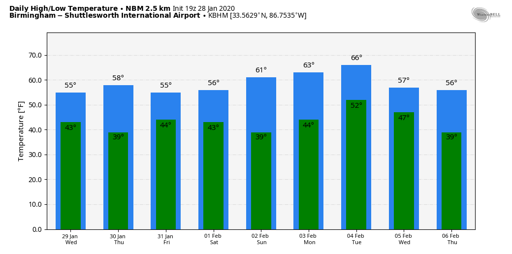
WEDNESDAY THROUGH FRIDAY: Wednesday will be cloudy and cool with periods of light rain. The air will be stable; any thunder will be confined to far south Alabama. We squeeze in a dry day Thursday with a mix of sun and clouds, followed by more clouds Thursday night and a chance of light rain at times Friday. Rain amounts between Wednesday and Friday should be around one-half inch for the northern half of Alabama, with one-half to 1 inch for the southern counties. Highs will remain in the 50s.
THE ALABAMA WEEKEND: For now we are forecasting dry weather over the weekend. On Saturday, the sky will be partly sunny with a high in the mid 50s; then look for a mostly sunny sky Sunday with a high in the low 60s.
NEXT WEEK: The active pattern continues; clouds will increase Monday with some risk of showers by afternoon. Showers remain possible Monday night and Tuesday, and a cold front will pass through Tuesday night with some potential for a few thunderstorms, but nothing severe. The weather looks mostly dry over the latter half of the week and we trend colder.
ON THIS DATE IN 2014: “Snowmageddon” crippled much of north and central Alabama for several days. It was only about 1 to 2 inches of snow, but temperatures were in the 17- to 22-degree range as it fell. After the snow initially melted because of warm soil temperatures, we had a “flash freeze,” putting down a base of ice on all roads. The 1-2 inches of snow basically produced travel conditions you would expect from a crippling ice storm (a long duration of freezing rain). Travel went from difficult to impossible; cars were left in the middle of highways as people changed from a “get home” mindset to a “survive” mindset. Thousands of kids were stranded in schools, countless adults spent the night in their offices and some spent more than 20 hours stuck in their vehicles on interstate highways. Families were separated, and this developed into a full-blown civil emergency, a humanitarian disaster. A Civil Emergency Message was issued by the National Weather Service at the request of EMA at 11:27 a.m.
STORM SPOTTER TRAINING: Our annual storm spotter training is Saturday, Feb. 8 at the Hoover Met. It begins at 9:30 and there is no cost. We will offer both the basic and advanced training sessions; we expect to wrap up by 2:30. No need to register; just show up with a curious mind. We need more trained storm spotters. Help us make the warning process better.
BEACH FORECAST: Click here to see the AlabamaWx Beach Forecast Center page.
WEATHER BRAINS: You can listen to our weekly 90-minute show any time on your favorite podcast app. This is the show all about weather featuring many familiar voices, including the meteorologists at ABC 33/40.
CONNECT: You can find me on the major social networks:
Facebook
Twitter
Instagram
Pinterest
Snapchat: spannwx
For more weather news and information from James Spann and his team, visit AlabamaWx.


