James Spann: Severe storms possible tonight in Alabama; sunshine returns Friday
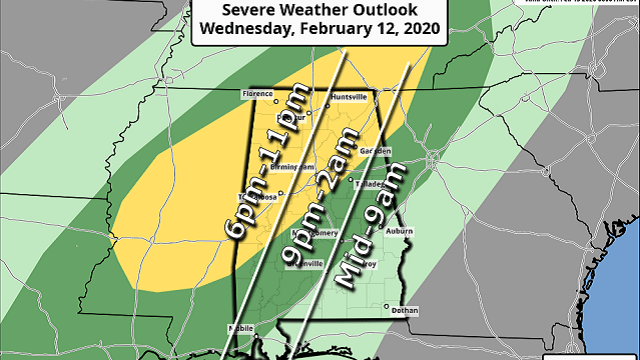
ACTIVE WEATHER TONIGHT: A cold front will bring the risk of strong to severe thunderstorms to Alabama tonight. While instability values remain somewhat marginal, there will be sufficient dynamic support for a few storms to reach severe limits over the northern half of the state. The Storm Prediction Center maintains a slight risk (level 2 of 5) down to Linden, Calera and Spring Garden, with a marginal risk (level 1 of 5) defined as far south as Spanish Fort, Greenville and Lafayette.
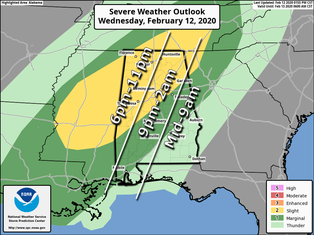
TIMING: The line of storms will likely enter the northwest corner of the state around 6 p.m., then will be on a line from near Huntsville to Fayette by 9, Gadsden to Birmingham to Tuscaloosa by 11 and Anniston around midnight. Storms will weaken as they move into East Alabama late tonight as the upper-air support weakens.
THREATS: Heavier storms will be capable of producing strong, gusty winds and hail. One or two isolated tornadoes can’t be ruled out as well. Keep in mind winds with the thunderstorms tonight might knock down more trees than usual because of the saturated soil conditions across the state.
RAIN: Rain amounts around one-half inch are likely tonight; some localized flooding is possible.
Just be sure you have a good way of hearing severe weather warnings if they are needed tonight.
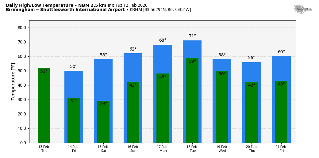
THURSDAY: The day will be breezy and cooler with temperatures falling through the 50s. Rain ends over north Alabama early in the day; showers could linger into the afternoon over the southern part of the state. The sky clears Thursday night as dry air moves in.
FRIDAY AND THE WEEKEND: Look for sunny weather Friday and Saturday with cold mornings; we project lows between 25 and 32 degrees for most communities. The high will be in the upper 40s Friday, followed by upper 50s Saturday. Sunday looks dry as well with a partly sunny sky; the high will be in the low to mid 60s.
NEXT WEEK: We will mention the chance of a shower Monday, but rain seems more likely Tuesday and Wednesday as a surface front creeps into the state and becomes nearly stationary.
ON THIS DATE IN 2014: A complex winter storm brought 3 to 8 inches of snow to parts of north Alabama.
ON THIS DATE IN 1958: Snow blanketed northern Florida, with Tallahassee reporting a record 2.8 inches. A ship in the Gulf of Mexico, 25 miles south of Fort Morgan, reported zero visibility in heavy snow on the afternoon of the 12th.
BEACH FORECAST: Click here to see the AlabamaWx Beach Forecast Center page.
WEATHER BRAINS: You can listen to our weekly 90-minute show any time on your favorite podcast app. This is the show all about weather featuring many familiar voices, including the meteorologists at ABC 33/40.
CONNECT: You can find me on the major social networks:
Facebook
Twitter
Instagram
Pinterest
Snapchat: spannwx
For more weather news and information from James Spann and his team, visit AlabamaWx.


