James Spann: Quiet pattern continues for Alabama, with a few showers possible by Sunday
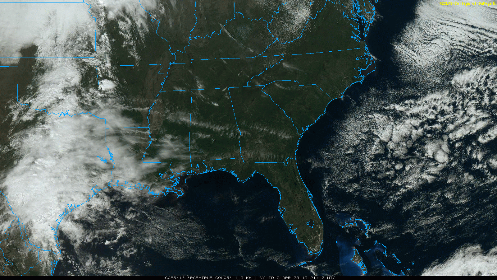
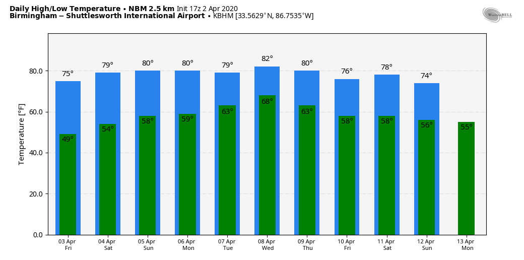
BLUE SKY: What a spectacular spring day for Alabama — blue sky, sunshine, low humidity, a cobalt blue sky and temperatures in the upper 60s and low 70s. Tonight will be clear and cool with a low in the 40s. Dry weather continues Friday; the sky will be partly to mostly sunny with a high in the mid 70s.
THE ALABAMA WEEKEND: Saturday looks generally dry; the risk of a shower is very low and confined mainly to the northwest counties of the state. Saturday’s high will be in the 77- to 80-degree range. On Sunday, expect a mix of sun and clouds with a few scattered showers; the high will remain in the upper 70s.
NEXT WEEK: The week will be warm and somewhat unsettled, with some risk of scattered showers and thunderstorms daily. It will be much like summer; the rain over the first half of the week will be random and amounts will be distributed unevenly. The American global model (the GFS) hints of a big upper trough lifting out of the southwest U.S. late in the week with a risk of strong to severe storms, but the European model (the ECMWF) shows basically nothing like that, so there is great uncertainty in what happens in the seven- to 10-day time frame.
THIS MORNING: Colder lows around the state included:
- Black Creek — 31
- Little River Canyon — 31
- Fort Payne — 32
- Valley Head — 32
- Rock Run — 32
- Cullman — 33
- Addison — 34
- Crossville — 35
- Haleyville — 36
- Gadsden — 36
- Pell City — 36
- Weaver — 36
- Heflin — 37
- Ashville — 37
- Grayson Valley — 38
- Jacksonville — 38
- Arley — 38
- Muscle Shoals — 38
- Decatur — 38
- Huntsville — 38
STORM SURVEYS: Surveys determined five tornadoes touched down in the thunderstorms Tuesday morning in the Birmingham National Weather Service County Warning Area — four EF-0s and one EF-2. The EF-2 moved through the southern part of Eufaula; three of the EF-0 tornadoes were in Pike County and the other was in Montgomery County. There were no injuries.
ON THIS DATE IN 1957: An EF-3 tornado tore through Dallas, Texas. Ten people were killed and 216 injured. Total damage was $1.5 million. This tornado was among the most photographed and studied in history. It touched down along present-day I-20 in southern Dallas County. The twister moved north along Polk Street past the current location of I-30. Continuing north, it moved one mile east of Hampton Street, down a hill and into a neighborhood, destroying many homes. The tornado moved northwest of downtown Dallas, going across the Trinity River levee and into an industrial complex. It finally entered the rope, or dying, stage in the parking lot of Love Field, and fully dissipated after crossing Bachman Lake.
BEACH FORECAST: Click here to see the AlabamaWx Beach Forecast Center page.
WEATHER BRAINS: You can listen to our weekly 90-minute show any time on your favorite podcast app. This is the show all about weather featuring many familiar voices, including the meteorologists at ABC 33/40.
CONNECT: You can find me on all of the major social networks:
Facebook
Twitter
Instagram
Pinterest
Snapchat: spannwx
For more weather news and information from James Spann and his team, visit AlabamaWx.com.


