James Spann: Cool air dips into Alabama tonight
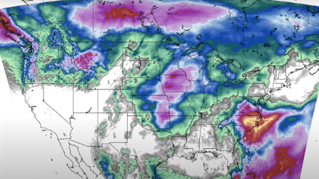
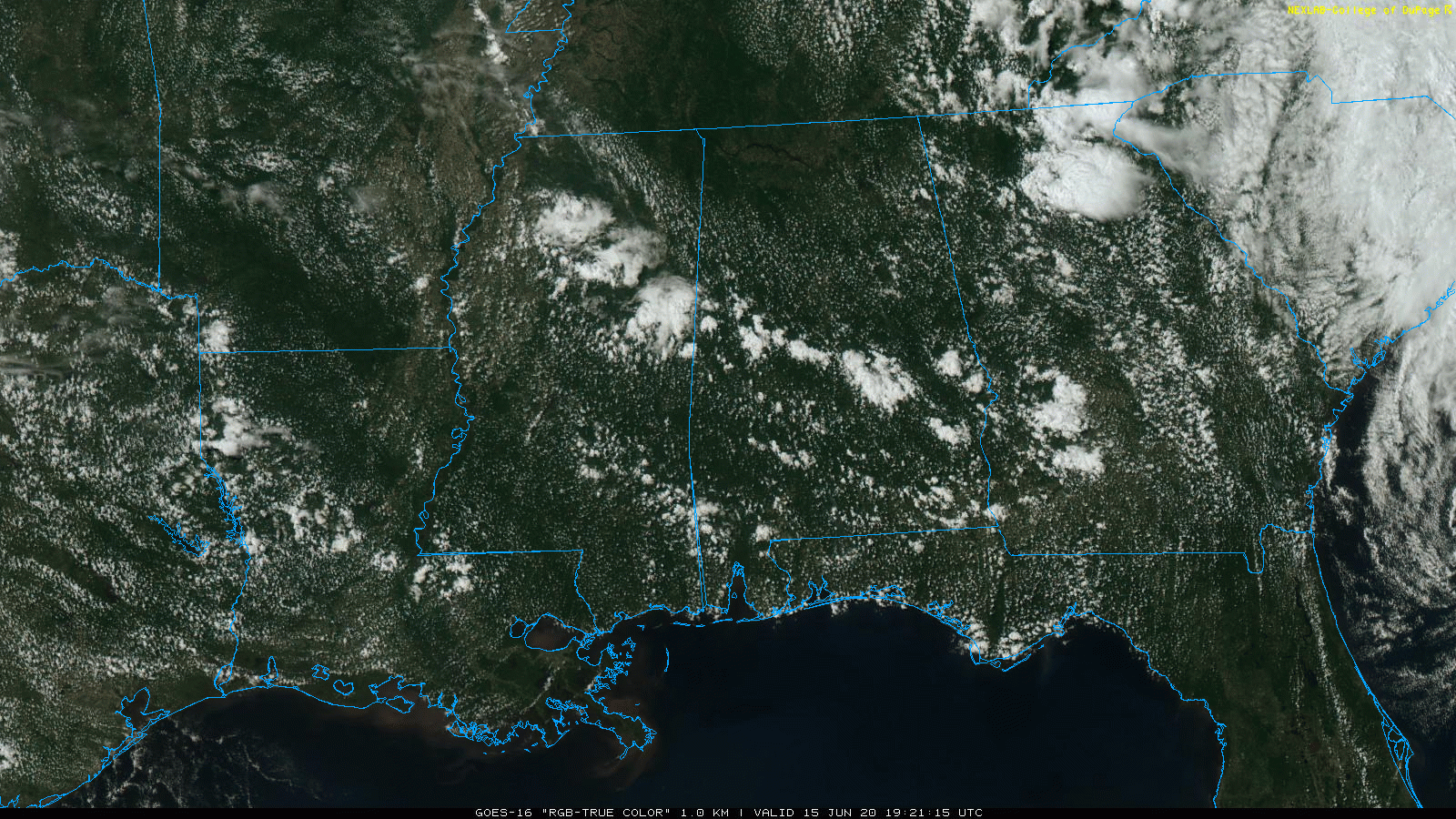
RADAR CHECK: A few isolated showers are over central Alabama this afternoon, in a broad zone from near Eutaw to Montgomery to Phenix City; they are lined up along a surface front passing southward through the state. For most of the state, it is another warm, dry day with temperatures in the 80s.
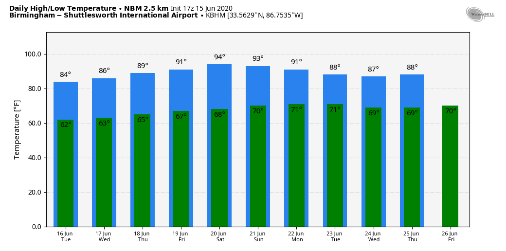
Tonight will be mostly fair and pleasant with temperatures dropping into the 57- to 62-degree range by daybreak.
REST OF THE WEEK: Tuesday will be mostly sunny and cooler. Areas north of Birmingham could very well hold in the 70s all day; elsewhere the high will be in the low 80s. Humidity levels will be fairly low, and the chance of a shower for any given location is very small.
Moisture levels will rise a bit Wednesday and Thursday, and we will mention a chance of widely scattered showers both days. Otherwise expect a mix of sun and clouds with highs in the low to mid-80s. Friday will feature potential for a few isolated showers with a high in the mid-80s.
THE ALABAMA WEEKEND: Heat levels rise Saturday and Sunday; the high will be close to 90 degrees both days. The sky will be mostly sunny, and while a few showers could pop up, they should be few and far between.
NEXT WEEK: An approaching upper trough will bring the chance of showers and thunderstorms back to the state at least for the first half of the week; highs will be in the mid to upper 80s. We are getting clear signals that next week will be considerably wetter than this week.
TROPICS: A small nontropical low-pressure system east of the Georgia coast is producing disorganized showers and a few thunderstorms over the Atlantic waters. The low is expected to move northward overnight and be offshore near the South Carolina-North Carolina border by Tuesday morning. Although environmental conditions are forecast to be unfavorable for any significant development, this system could briefly acquire some subtropical characteristics before it moves inland Tuesday afternoon or evening. The National Hurricane Center gives it only a 10% chance of development. Otherwise, the Atlantic basin remains very quiet.
ON THIS DATE IN 1991: The second-largest volcanic eruption of the 20th century began as Mount Pinatubo injected 15 to 30 million tons of sulfur dioxide 100,000 feet into the atmosphere. As a result of the eruptions, 343 people were killed in the Philippines and 200,000 were left homeless. Material from the explosion would spread around the globe, leading to climate changes worldwide as the sun’s energy was blocked out and global temperatures cooled by as much as 1 degree Fahrenheit. Globally, 1992 was one of the coldest years since the 1970s.
BEACH FORECAST: Click here to see the AlabamaWx Beach Forecast Center page.
WEATHER BRAINS: You can listen to our weekly 90-minute show anytime on your favorite podcast app. This is the show all about weather featuring many familiar voices, including the meteorologists at ABC 33/40.
CONNECT: You can find me on the major social networks:
Facebook
Twitter
Instagram
Pinterest
Snapchat: spannwx
For more weather news and information from James Spann and his team, visit AlabamaWx.


