James Spann: Quiet pattern continues for Alabama through the weekend
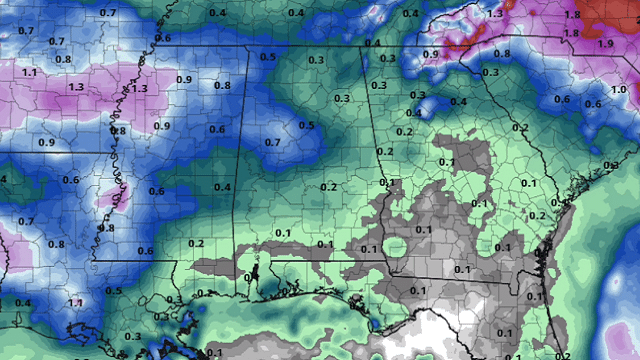
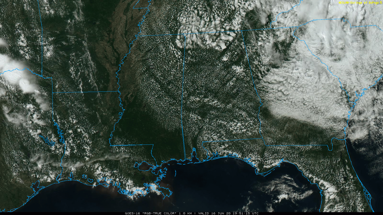
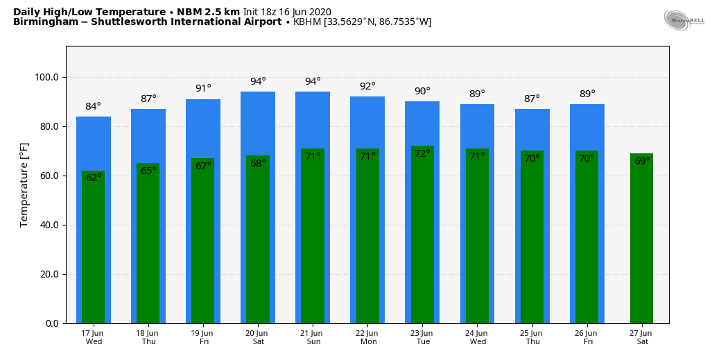
RADAR CHECK: We have nothing on radar this afternoon as a relatively dry air mass continues to cover Alabama. The sky is partly to mostly sunny, and temperatures are generally between 78 and 82 degrees. The average high for Birmingham on June 16 is 88.
Tonight will be mostly fair with a low in the 60s; cooler spots go into the 50s again.
WEDNESDAY THROUGH FRIDAY: Look for partly sunny days and mostly fair nights. A few showers or storms could pop up, especially on Thursday, but they will remain few and far between. Most places will remain dry. Highs will be in the low 80s Wednesday, mid 80s Thursday and upper 80s Friday. Humidity levels will slowly rise.
THE ALABAMA WEEKEND: We expect afternoon highs in the 88- to 92-degree range over the weekend with a good supply of sunshine Saturday and Sunday. Showers will remain scarce in a dry and relatively stable air mass.
NEXT WEEK: The pattern begins to shift a bit, allowing deeper moisture into the Deep South and much better coverage of showers and storms daily. Highs will be in the 80s, lows around 70 with a mix of sun and clouds each day.
TROPICS: A nontropical low-pressure area about 150 miles south-southeast of the North Carolina-South Carolina border continues to produce disorganized showers and thunderstorms over portions of southeastern and eastern North Carolina, including the Outer Banks and adjacent Atlantic waters. The low has moved little today, but a slow northward motion is forecast to begin by this evening. Environmental conditions are expected to remain unfavorable for significant development through tonight, when the low should move inland over eastern North Carolina. Regardless of development, heavy rainfall could occur over portions of northeastern South Carolina and southeastern and eastern North Carolina through Wednesday.
Showers and thunderstorms a few hundred miles east of Trinidad and Tobago are associated with a westward-moving, low-latitude tropical wave. Some slow development of this system is possible over the next couple of days before upper-level winds become less conducive and the system begins to interact with the land mass of South America.
The rest of the Atlantic basin remains quiet.
COOL MORNING: Lows across Alabama early this morning include:
- Addison — 55
- Cottondale — 56
- Heflin — 57
- Decatur — 57
- Scottsboro — 57
- Arley — 58
- Centre — 58
- West Blocton — 58
- Demopolis — 58
- Gadsden — 59
- Bessemer — 59
- Anniston — 60
- Weaver — 60
- Tuscaloosa — 61
- Sylacauga — 61
- Birmingham — 63
ON THIS DATE IN 1896: A tsunami ravaged the coast of Japan, killing between 22,000 and 27,000 people.
BEACH FORECAST: Click here to see the AlabamaWx Beach Forecast Center page.
WEATHER BRAINS: You can listen to our weekly 90-minute show anytime on your favorite podcast app. This is the show all about weather featuring many familiar voices, including the meteorologists at ABC 33/40.
CONNECT: You can find me on the major social networks:
Facebook
Twitter
Instagram
Pinterest
Snapchat: spannwx
For more weather news and information from James Spann and his team, visit AlabamaWx.


