James Spann: Hot, muggy summer weather for Alabama, with scattered storms
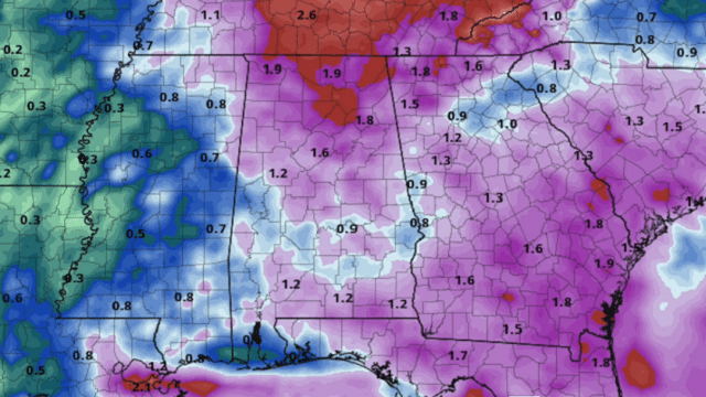
RADAR CHECK: Scattered showers and thunderstorms have formed across Alabama this afternoon. They are moving slowly to the east and producing heavy rain, gusty winds and lots of lightning. Some of the heavier storms are over the Tennessee Valley of north Alabama. Away from the thunderstorms, in some places this is the hottest day so far this year. Birmingham hit 93 degrees at 2 p.m.; other communities are in the low 90s as well.
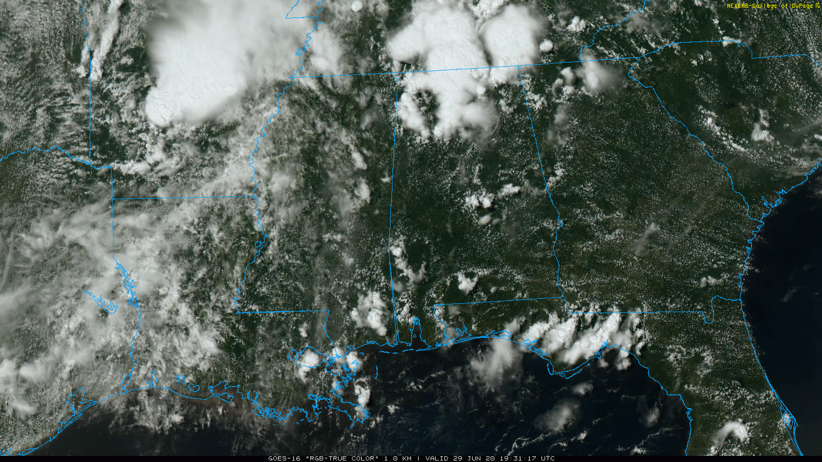
Showers and storms will fade after sunset as the air becomes more stable.
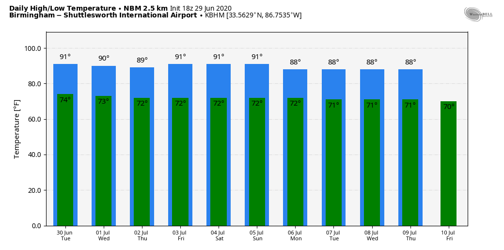
REST OF THE WEEK: The weather won’t change much — hot, muggy, humid days with a partly sunny sky and random, scattered showers and thunderstorms, mostly from 1 until 9 p.m. Heavier storms, like today, will be capable of producing strong winds and very frequent lightning. Highs will be close to 90 degrees, with lows in the 70- to 75-degree range. Very routine weather for the end of June and the first few days of July in Alabama.
HOLIDAY WEEKEND: Same forecast. Expect partly sunny, hot, humid days with the risk of a passing thunderstorm in random locations each afternoon. Highs will remain close to 90 degrees.
NEXT WEEK: The upper air pattern won’t change much, meaning there will be little change in the weather. There will be day-to-day variations in the coverage and placement of the afternoon and evening showers and thunderstorms, but those are based on small-scale weather features that just can’t be identified far in advance. Highs will remain close to 90, with lows mostly in the low to mid 70s.
TROPICS: Disorganized showers and thunderstorms several hundred miles east of the southern Windward Islands are associated with a tropical wave. Some slight development of this system is possible during the next day or so while it moves westward to west-northwestward around 20 mph. Strong upper-level winds are forecast to inhibit further development by midweek.
An area of low pressure is forecast to form off the southeastern coast of the United States on Tuesday. Some development of this system is possible later this week while it moves generally northeastward well offshore of the U.S. East Coast. The rest of the Atlantic basin is quiet.
ON THIS DATE IN 1998: “The Corn Belt Derecho of 1998” hit Nebraska, Iowa, Illinois, Indiana and Kentucky. A derecho that originated in far southeast South Dakota moved across Illinois during the afternoon and evening and continued as far east as Ohio the next morning. Every county in central Illinois sustained some damage as these severe thunderstorms passed. Winds gusted in the 60 to 80 mph range, with some localized microbursts producing winds more than 100 mph. Significant damage occurred in the microburst areas, including the towns of Morton, McLean, LeRoy and Tolono. In Tolono, 22 cars of a southbound 101-car Illinois Central freight train were blown off the tracks. It was unknown how many cars were picked up by the wind, but 16 were turned over and another six derailed but remained upright. The train was en route to Centralia from Chicago with a load of mixed freight, including plastic pellets and meal. The freight cars empty weighed about 60,000 pounds, while a full one weighs about 260,000 pounds. Overall, 12 people were injured, and damage was estimated around $16 million.
BEACH FORECAST: Click here to see the AlabamaWx Beach Forecast Center page.
WEATHER BRAINS: You can listen to our weekly 90-minute show any time on your favorite podcast app. This is the show all about weather featuring many familiar voices, including the meteorologists at ABC 33/40.
CONNECT: You can find me on the major social networks:
Facebook
Twitter
Instagram
Pinterest
Snapchat: spannwx
For more weather news and information from James Spann and his team, visit AlabamaWx.


